Feature Manipulation Engine
How Feature Manipulation Engine can help your business
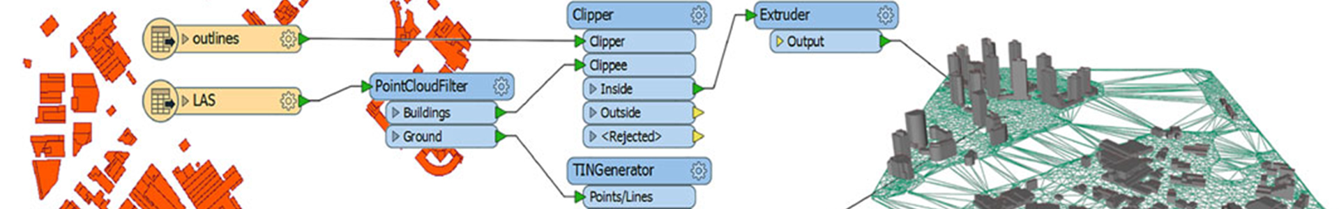
Feature Manipulation Engine (FME) is an all-encompassing geospatial data integration platform that enables geospatial users to extract, transform and load geospatial data into a data warehouse. Along with supporting hundreds of format types, GIS applications and transformational tools, FME also gives geospatial users the ability to create custom workflows that improve data storage, compatibility and repetitive task challenges, without needing to code. FME Desktop, FME Server and FME Cloud create the trio of FME tools that are used to build, automate and deploy data.
FME Desktop
FME Desktop’s drag-and-drop interface gives users a space to author, integrate and transform data in workflows, tailored to business needs, without needing to code.
Learn more here
FME Server
Harness the power of FME from anywhere with FME Server. Set up scheduled automation tasks to process data in real-time and support multiple data users via FME Server.
Learn more here
FME Cloud
Host and deploy your data integration workflow in minutes with FME Cloud. As a deployment option for FME Server, users only pay for what they need rather than what they think they’ll need.
NGIS Australia has a team of professionals trained in FME that can deliver a range of solutions for businesses utilising complex geospatial technology stacks.
Key FME benefits
Build custom workflows - Using FME’s drag-and-drop interface, users can create custom workflows to integrate, transform and load data as you need.
Automate tasks easily - Schedule event-based automation workflows to complete repetitive tasks.
Flexible workspaces - FME supports over 450 geospatial formats and applications, giving your team the flexibility to build on workflows using different languages, without needing to coding.
Software of choice for GDA2020 transformation - Find out how FME’s transformational tools can help users move from GDA94 to GDA2020
here.
Diagnose problems as you go - FME Desktop enables users to inspect and test their data in the same environment during the transformation process. This gives users the ability to make and save changes without creating several file copies.
FME and Google Cloud join forces
Geospatial data can be processed at unmatched speeds now with FME added into the Google Cloud Marketplace. As businesses collect and store more location data, Google and FME recognised the potential to process geospatial data from FME within Google BigQuery.
Read more here
Training
NGIS provides a dedicated training program for FME, specialising in instructor-led training for organisations.
We develop, maintain and deliver training courses that are built for Australian industry and organisations using relevant data and use cases.
Some of our courses include:
- FME Desktop (introductory and advanced)
- FME Server
View our courses
let's
talk about your next project
We love to chat. Come and visit us in our Perth or Sydney office, Skype us from the beach, your couch, your desk or better yet, let’s go grab a coffee together. Get a quote for your app or other project.
GET IN TOUCH