Resources
Efficient exploration and management through interactive maps and 3D visualisations.
The Power of Geospatial intelligence
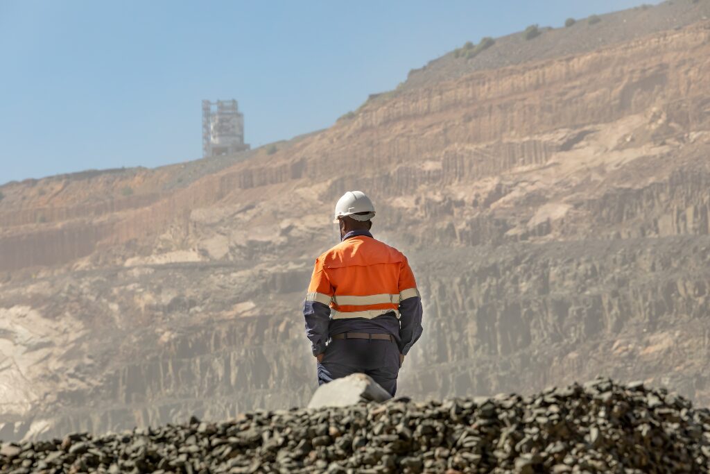
The resources industry faces unique challenges that require innovative and data-driven solutions. At NGIS, we provide advanced geospatial solutions to solve real-world problems and unlock operational efficiencies that benefit projects of all stages.

Geospatial technology solutions for all stakeholders and project needs
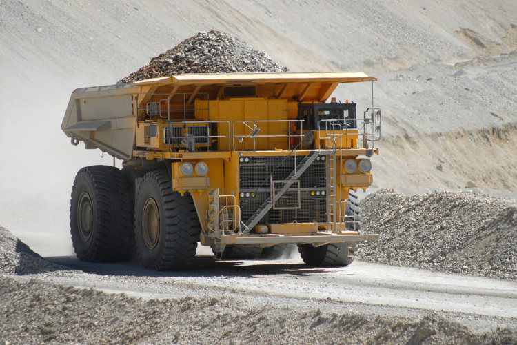
NGIS provides geospatial solutions to optimise operations and support decision-making in the mining and resources sector. By leveraging enterprise GIS, we enable mining companies to centralise their spatial data, integrate diverse datasets such as drillhole data, geophysical surveys, and environmental assessments, and streamline workflows across exploration, production, and compliance activities.
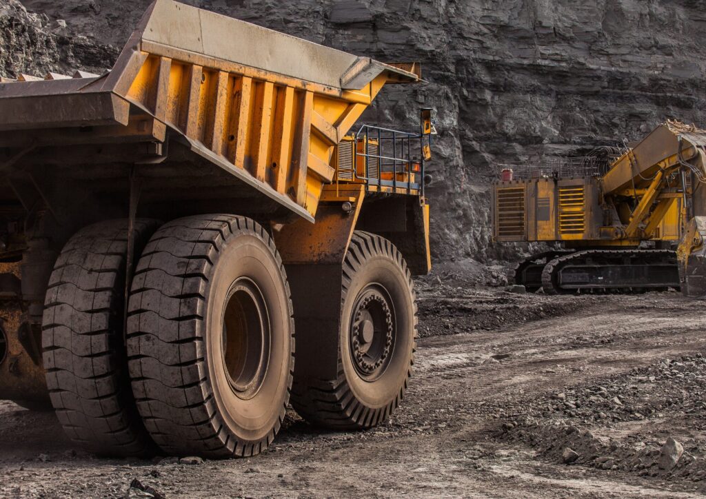
Our custom applications can be designed to address industry- or operation-specific challenges, such as tracking material movements, monitoring tailings storage facilities, or visualising site layouts in 3D. These tools provide actionable insights that improve operational efficiency, reduce risks, and support maintaining regulatory compliance.
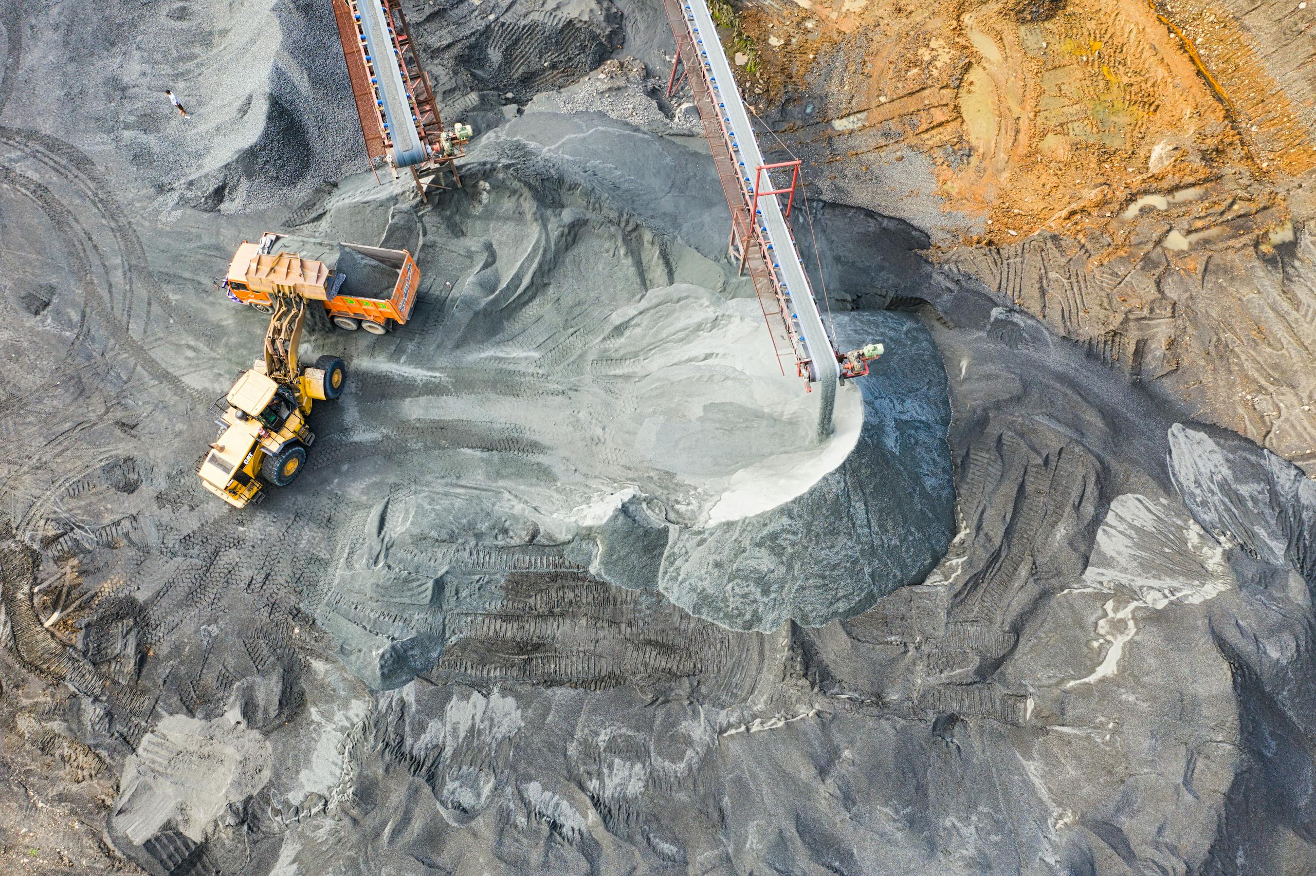

Resource sector challenges and geospatial use cases
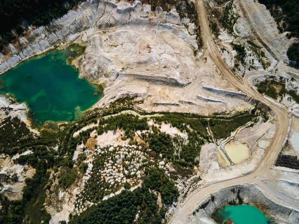
For exploration teams, NGIS offers earth observation services that utilise satellite imagery and remote sensing data, monitor vegetation or surface water changes and assess environmental impacts. This cost-effective approach allows for large-scale monitoring and improved targeting of exploration efforts.
Whether supporting greenfield exploration, streamlining mine operations, or tracking regulatory compliance, NGIS delivers practical geospatial solutions that add value across the mining lifecycle.

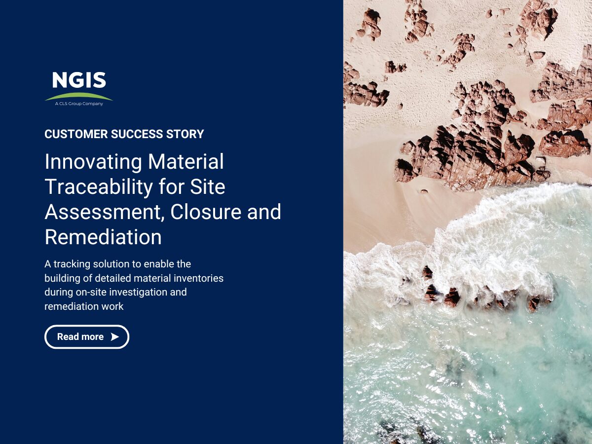
Innovating Material Traceability for Site Assessment, Closure and Remediation
NGIS developed a geospatially driven solution that could integrate with existing systems, and enable the building of detailed material inventories and tracking of materials movements during on-site investigation and remediation works
Case studies
Tailored Training for a Major Mining Company
When a major resource company approached NGIS for training, they already had a clear picture of the skills their team wanted to strengthen. After completing a detailed competency matrix, they came to us with defined knowledge gaps and specific workflows that their staff needed to upskill. This set the foundation for a collaborative and customised…Improving Imagery Workflows in the Mining Sector
With the rise of drones, satellites and LiDAR, access to spatial imagery is easier than ever; however, turning this raw data into usable insights is another challenge entirely. In mining, up-to-date imagery is crucial for site planning, environmental monitoring and operational decision-making, from tracking haul roads to assessing land disturbance.Innovating Material Traceability for Site Assessment, Closure and Remediation
In the remote northwest of Australia lies a globally renowned Class A Nature Reserve, well known for its biodiversity and ecological significance. This area supports diverse terrestrial and marine ecosystems and many of their rare species. Currently, parts of the reserve are the focus of an extensive resource-industry decommissioning, remediation, and rehabilitation effort aimed at returning, and preserving, its long-term ecological value. The remediation effort involves site assessments and targeted earthworks across historically disturbed areas such as infrastructure pads, roads, tracks, and borrow pits.Building a common operating picture
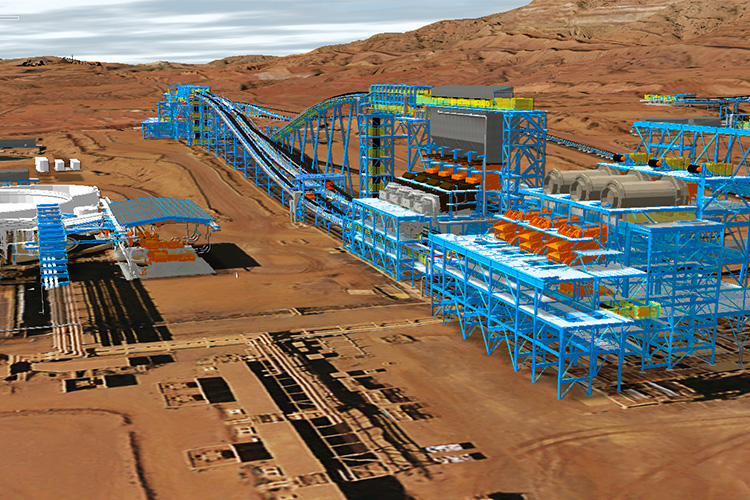
A leader in the iron ore industry, recognised for its innovation and industry leading development of world class infrastructure and mining assets in the Pilbara, Western Australia, worked with NGIS to build a state of the art solution.


Impact through Reach
Industries
As a global leader in the geospatial industry, our expertise spans a wide range of sectors. We believe there is no limit to the transformative power of geospatial.
Agriculture
Enabling the agricultural sector to optimise operations, improve yield predictions and enhance data-driven decision-making.
Resources
Empowering the resources sector with technology, insights, and real-time visualisations into their operations.

Transport
Delivering innovative solutions to optimise logistics, improve journey time experiences, and reduce fuel use.


