News and events
Stay informed with the latest updates covering groundbreaking projects, industry events and company news.
Blog
-

Why Planet isn’t your old-school Earth observation provider
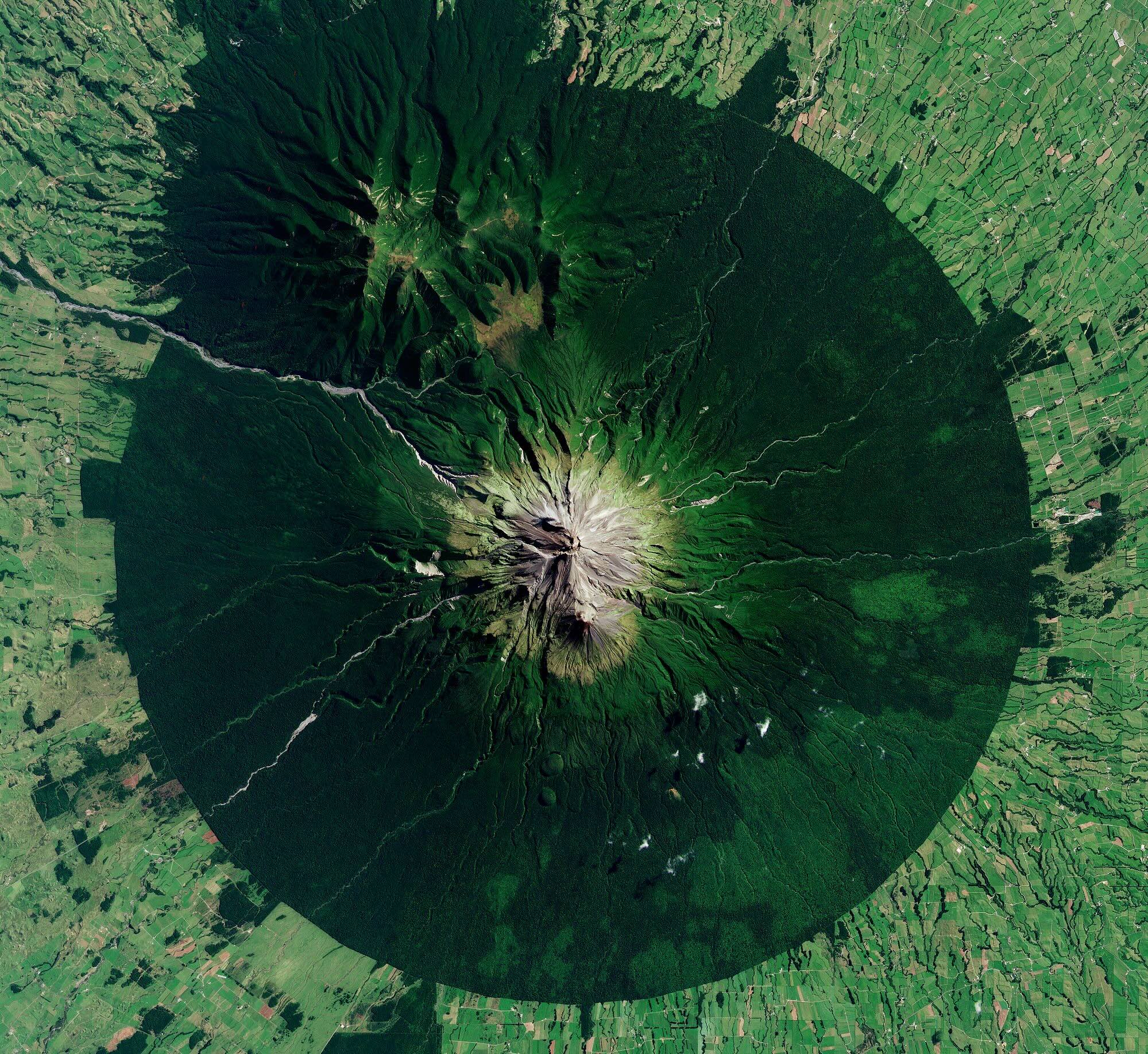
When most people think of Earth Observation (EO), they think of complex systems, long lead times, and imagery that’s already out of date by the time it’s delivered. Historically, satellite data has been the domain of specialists, slow to access, expensive to use, and challenging to scale. Planet takes a different approach. Built for speed,…
-

Women in GIS at NGIS
The geospatial industry has long been male-dominated, but women are making strides and shaping its future. At NGIS, women make up 43% of our team, demonstrating our commitment to diversity and inclusion. We are proud to celebrate the talented women at NGIS who are pushing boundaries, driving innovation, and inspiring the next generation. Ahead of…
-

Monitoring the disappearing underwater forest
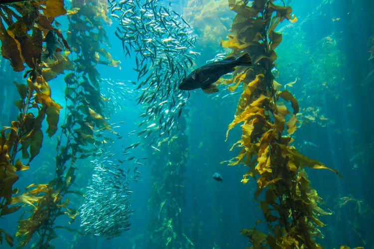
What if one of the most critical ecosystems in our oceans was vanishing before our eyes without us even noticing? 95% of Tasmania’s kelp forests have vanished. Along Australia’s southern coastline, Giant Kelp forests, known for their towering underwater canopies and vital role in marine biodiversity, are quietly disappearing. NGIS is proud to be part…
Podcast
-

The best data for emergency services CAD systems
HERE Technologies has just been recognised as the top ranked location platform by industry analysts at Strategy Analytics. The annual report benchmarks the world’s largest location companies and ranks HERE, Google, Mapbox and TomTom across seven categories. We were lucky to speak with two experts in the location technology industry recently, and our discussion dives…
-

Coastal Risk Australia gets an update.
Location Matters welcomes CEO of FrontierSI, Graeme Kernich to the podcast for the first time to get the scoop on the updated Coastal Risk Australia, climate modelling tool which was first built in 2015. In partnership with FrontierSI, NGIS developed Coastal Risk Australia to illustrate the severity of rising seas based on the latest scientific…
-

Drone mapping with Karen Joyce
We are excited to have Karen Joyce, She Maps Founder and Senior Lecturer in Remote Sensing, back on the Location Matters podcast this week! Karen sat down with our Senior GIS Consultant, Marty Rocks, and Winyama IT Coordinator, Time Cable, to talk about everything drone mapping. Tune in to this episode to learn about some of…

