Our services
With a focus on innovation, NGIS offers a range of services tailored to meet your unique needs.
Shaping the future of geospatial
Underpinned by innovation and over 30 years of industry-leading expertise, NGIS has a comprehensive suite of services to help to transform geospatial insights into actionable intelligence. From optimising your GIS performance and building capability within your team, to exploring geospatial technology solutions, developing software, and leveraging the power of earth observation solutions, we have the experience to help you achieve tangible outcomes.

RESULTS through GEOSPATIAL
Our services
Enterprise GIS
Transform your business with advisory and consultancy services, solution architecture, deployment, and migration for seamless integration and efficient data management.

Capability Building
Maximise the impact of your GIS capabilities with comprehensive public courses, tailored training, roadmap building, skills assessments, and resource capacity.

Geospatial Technology Solutions
Enhance your geospatial capabilities with our global technology partners. Offering value-added integration, team workshops, and customer success management.
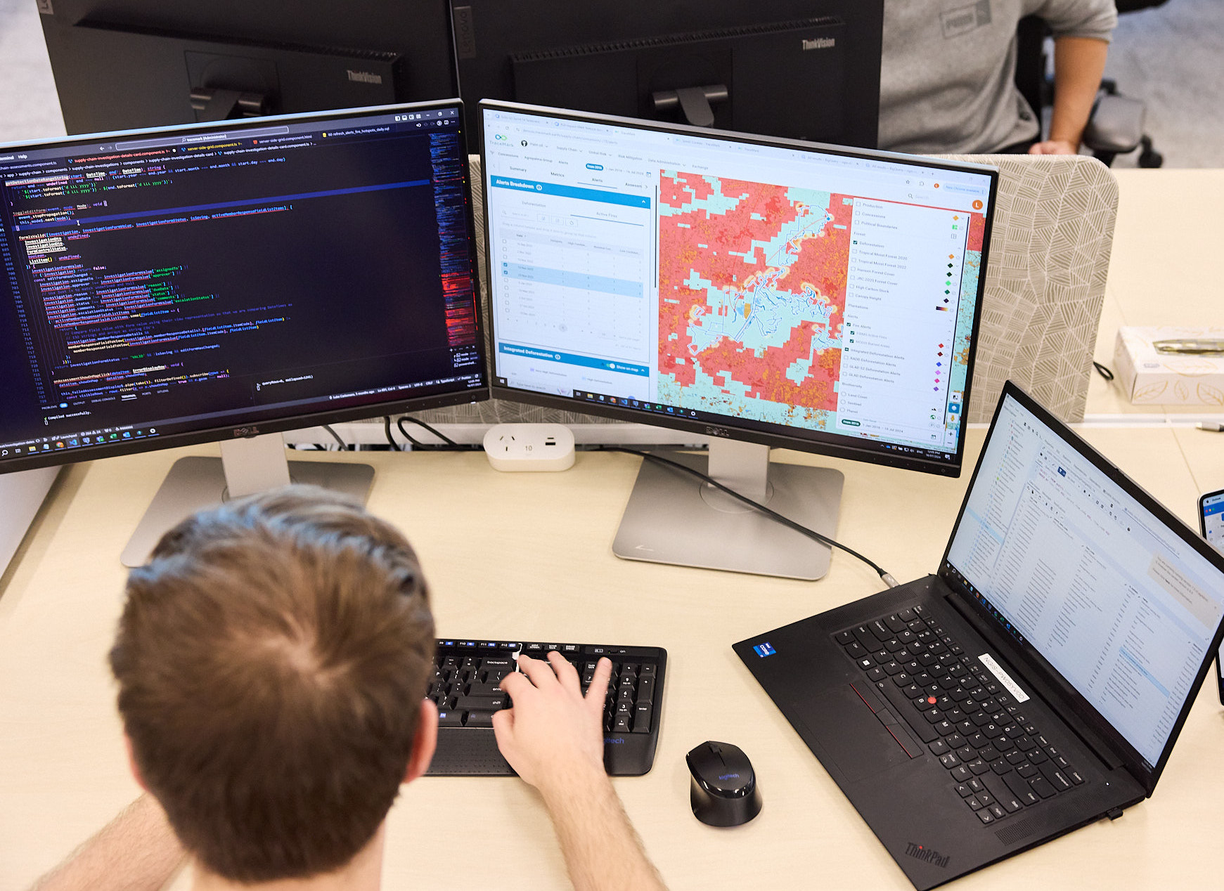
Geospatial Software Engineering
Unlock the potential of geospatial technology with our expert software engineers, creating map-centric applications, internal tools, and award-winning SaaS products.

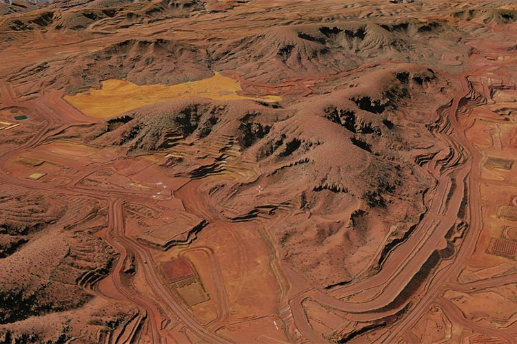
Earth Observation Solutions
Leverage earth observation data science with our suite of satellite and machine learning services.
Case studies
Discover how NGIS has transformed organisations and communities through innovative geospatial solutions in our detailed case studies.
Seeing the City in a Whole New Dimension
The City of Canterbury Bankstown needed a better way to plan and communicate urban development. NGIS delivered a powerful 3D digital model using the Skyline Enterprise Technology Suite, giving council staff, planners, developers and residents a dynamic, interactive view of the city.A Smarter Way to Manage Western Australia’s Roads
The Real Time Operations Platform (RTOP), developed by NGIS in partnership with Main Roads Western Australia, integrates data from 28 sources into a single map-centric system to enhance real-time monitoring, incident response, and road network management across Western Australia’s extensive road network, improving operational efficiency, situational awareness, and user experience for millions dailyTailored Training for a Major Mining Company
When a major resource company approached NGIS for training, they already had a clear picture of the skills their team wanted to strengthen. After completing a detailed competency matrix, they came to us with defined knowledge gaps and specific workflows that their staff needed to upskill. This set the foundation for a collaborative and customised…Customising Geospatial Training for NRM South
NRM South were looking to enhance their team’s ability to use GIS in environmental project delivery, they turned to NGIS for a flexible and practical learning solution. Together, we developed a tailored training program that aligned with their goals and reflected their diverse skill levels.