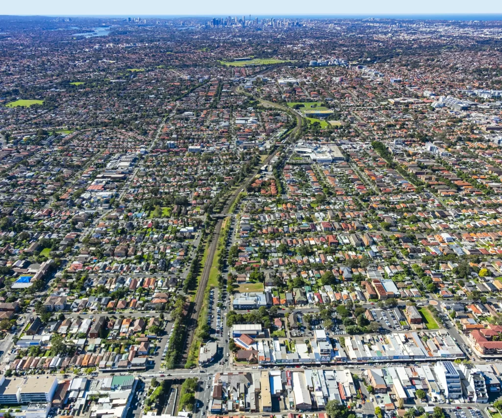
Seeing the City in a Whole New Dimension
The City of Canterbury Bankstown needed a better way to plan and communicate urban development. NGIS delivered a powerful 3D digital model using the Skyline Enterprise Technology Suite, giving council staff, planners, developers and residents a dynamic, interactive view of the city.