Impact & Sustainability
Delivering Impact through Geospatial. Learn how GIS and sustainability go hand in hand.
Shaping a sustainable future through geospatial insight
NGIS looks to the future with a sense of responsibility and a clear vision. The drive to create a positive impact on the planet and its people continues to be our heartbeat, guiding every decision and action. We recognise the power of geospatial technology as a visualisation and communication tool, unlocking massive archives of data about our physical environment. By distilling petabytes of information into key trends and insights, we assist organisations around the globe in making better-informed decisions to shape a more sustainable and equitable future.
2024 Impact report
Making a positive impact on the world
The NGIS 2024 Impact Report is a testament to our commitment to positive change and sustainable impact. It outlines our approach to impact: Innovating and harnessing technology to empower individuals, businesses, and communities, collaborating with partners to enable positive change at a global scale. The report delves into the stories of our impactful initiatives from 2024, emphasising that creating value extends beyond financial success.


Assessing Biological Ecosystems In Consumer Electronics Supply Chains:
Northern Việt Nam Case Study
NGIS expanded its TraceMark platform—originally designed for deforestation-free sourcing under EU regulations—to calculate ecosystem services metrics aligned with the UN’s 2030 Global Biodiversity Framework. Using Google Earth Engine to process large-scale geospatial datasets, TraceMark now assesses ecosystem health across categories including land use change, water quality, biodiversity integrity, and soil productivity for TNFD and SBTN reporting.
For Google’s pilot at two facilities in Northern Vietnam, NGIS and Second Nature Ecology + Design augmented TraceMark with local expert insights, identifying 217 focal species of ecological, economic, and cultural importance. This cohort-based approach enables high-impact mitigations addressing multiple species simultaneously through TraceMark’s visual dashboard, allowing users to quickly prioritise critical biodiversity mitigation actions.
Protecting giant kelp forests
This collaborative project serves as a response to the decline of Giant Kelp forests, aiming not only to restore ecosystems but also to contribute vital information for national conservation strategies. NGIS is proud to be involved in this collaborative effort, blending expertise and technology. As Australia pioneers the restoration of its giant kelp forests, the project offers hope to the future of marine ecosystems globally.

Impact through Technology
Technology
We recognise and celebrate the collaborative nature of our industry; our strategic partnerships are integral to our success. Our choice in partners is driven by our desire to scale, evolve and continuously improve our solutions. The leading technology companies we partner with share the bravery and professionalism that sets NGIS apart – each offering cutting-edge, disruptive technology that allows us to achieve the best possible outcomes for our customers.


Impact through Technology
Industries
As a global leader in the design and delivery of impactful geospatial solutions, our expertise spans a wide range of sectors. We believe there is no limit to the transformative potential of geospatial. As the industries, organisations, and global communities we work with continue to expand, we are inspired by the reach of the work we do.
Environment
Addressing complex global climate and sustainability challenges through geospatial analysis.
Resources
Addressing complex global climate and sustainability challenges through geospatial analysis.
Transport
Addressing complex global climate and sustainability challenges through geospatial analysis.
Emergency Services
Addressing complex global climate and sustainability challenges through geospatial analysis.
Impact through innovation
About NGIS
NGIS develops geospatial solutions for organisational and global challenges. We work to deeply understand our clients’ needs and form long-lasting partnerships built on trust and results. We deliver a range of services including expert geospatial consulting, off-the-shelf technology, and innovative packaged solutions.
With capabilities across Enterprise GIS, Software Engineering, Cloud Engineering and Earth Observations, our experience is varied and extensive. Every day, in all that we do, we seek to create meaningful impact through the power of geospatial.
Case studies
As we navigate the complexities of our global landscape, we recognise the importance of addressing some of the world’s most pressing challenges. Geospatial technology is key in our pursuit of impactful solutions, enabling us to contribute meaningfully to the broader conversation on business ethics and sustainability reporting. Explore our case studies, and discover how the use of geospatial technology is creating a better, more sustainable future.
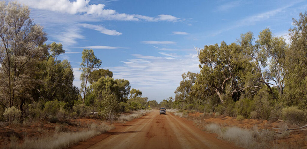
Customising Geospatial Training for NRM South
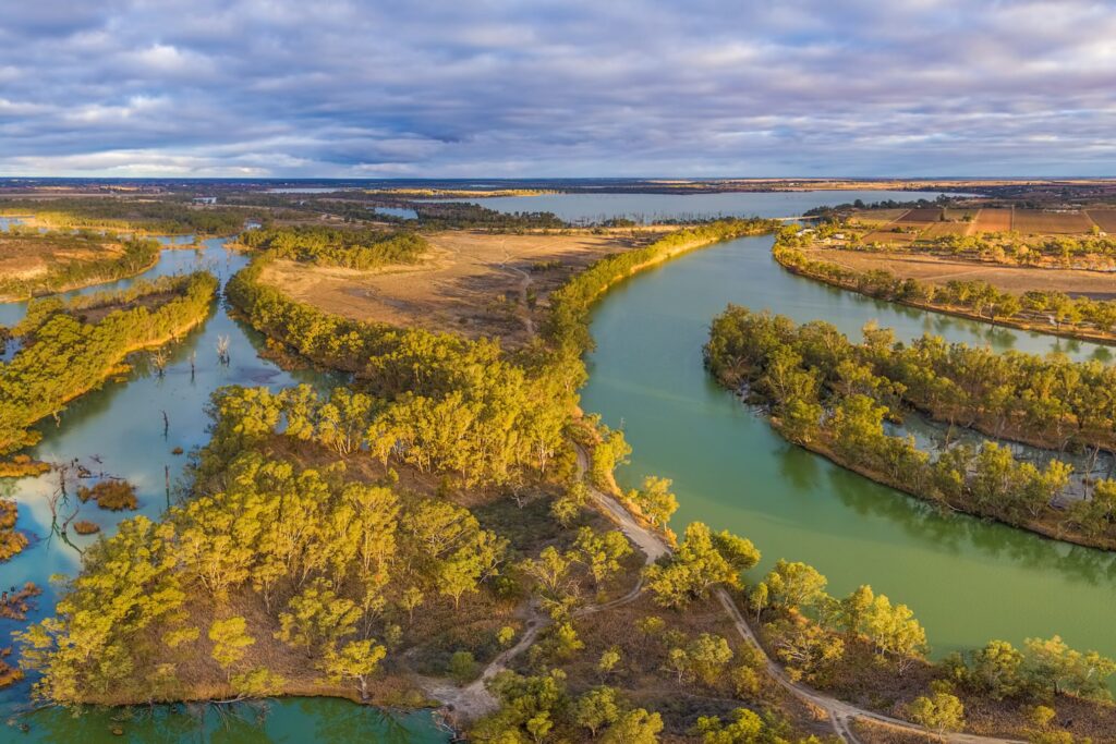
NRM South were looking to enhance their team’s ability to use GIS in environmental project delivery, they turned to NGIS for a flexible and practical learning solution. Together, we developed a tailored training program that aligned with their goals and reflected their diverse skill levels.Developing a water monitoring system for the Murray-Darling Basin
NGIS, in collaboration with NSW DCCEEW, developed EOWater, a Google Earth Engine (GEE)-based toolkit that enables large-scale monitoring of water surface areas. Designed as a low-cost, automated solution, EOWater provides real-time, high-resolution insights that help government agencies and water managers make informed decisions.Digital transformation strategy
Digital transformation strategyLightning strike detection
Lightning strike detection