News and events
Stay informed with the latest updates covering groundbreaking projects, industry events and company news.
Newsroom
-

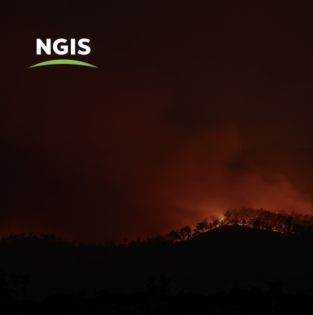
How Satellite based Earth Observation Supports Emergency Response Teams
Natural disasters are an increasingly familiar reality, yet their unpredictability remains a core challenge. This is why preparedness is our best means of mitigating impact when disaster does occur. Satellite technology plays a critical role in enabling this readiness, but why? To understand this, you need only consider the sheer scale and diversity of Australia’s landscapes, waters and ecosystems. The continent spans 7.7 million square kilometres and, relative to its total area, has a low population density. This…
-

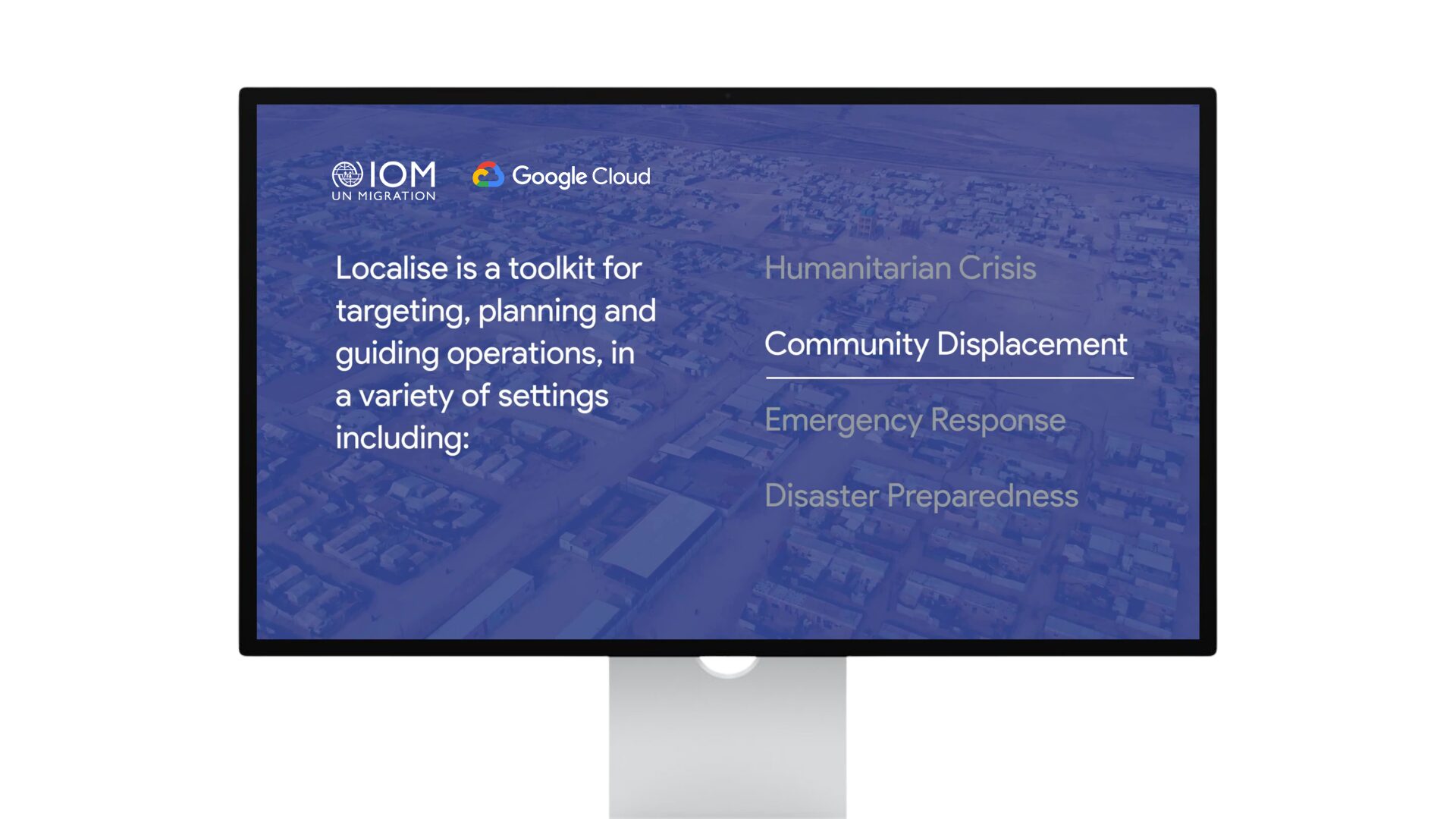
United Nations, Google Cloud and NGIS Team Up to Bring AI-Powered Planning to Communities in Crisis
The United Nations International Organization for Migration (IOM), in partnership with Google Cloud and NGIS are advancing data-driven humanitarian planning through the use of AI and Geospatial powered tools, helping humanitarian organisations to analyse the most vulnerable locations across multiple areas and proactively plan for disaster response, climate driven displacement, and long term community recovery. At the centre of the initiative is the…
-

Celebrating Women in GIS: More than Maps
From tracking deforestation to building geospatial tools from the ground up, the women at NGIS are driving impactful real-world outcomes. This International Women’s Day, we spoke to three women across our Earth Observation, software engineering and spatial analysis solutions, to find out what first attracted them to GIS, what keeps them here, and what they’d tell their younger selves starting out.
Podcast
-

The best data for emergency services CAD systems
HERE Technologies has just been recognised as the top ranked location platform by industry analysts at Strategy Analytics. The annual report benchmarks the world’s largest location companies and ranks HERE, Google, Mapbox and TomTom across seven categories. We were lucky to speak with two experts in the location technology industry recently, and our discussion dives…
-
Coastal Risk Australia gets an update.
Location Matters welcomes CEO of FrontierSI, Graeme Kernich to the podcast for the first time to get the scoop on the updated Coastal Risk Australia, climate modelling tool which was first built in 2015. In partnership with FrontierSI, NGIS developed Coastal Risk Australia to illustrate the severity of rising seas based on the latest scientific…
-
Drone mapping with Karen Joyce
We are excited to have Karen Joyce, She Maps Founder and Senior Lecturer in Remote Sensing, back on the Location Matters podcast this week! Karen sat down with our Senior GIS Consultant, Marty Rocks, and Winyama IT Coordinator, Time Cable, to talk about everything drone mapping. Tune in to this episode to learn about some of…