Agriculture
Geospatial analysis and earth observation expertise for agriculture.

Working with the agriculture industry
The use of GIS in commercial agriculture is growing rapidly, unlocking opportunities for improved efficiency, sustainability, and profitability. NGIS delivers geospatial solutions tailored to meet evolving demands in this sector, helping agribusinesses harness the power of location-based insights.
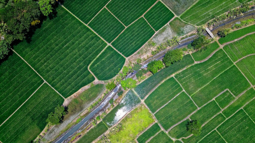
Through satellite imagery and earth observation tools, we provide actionable data on crop health, soil moisture, and water use efficiency. These insights empower organisations to optimise irrigation, predict yields, and reduce input waste, resulting in cost savings and improved resource management.


Advancing agriculture
Custom geospatial applications can support or enhance farm planning, pest and disease management, and precision agriculture practices. By integrating spatial data with operational systems, businesses can streamline workflows, monitor assets, and make informed decisions that improve productivity.
Our geospatial analytics capabilities, coupled with AI and machine learning, reveal patterns and trends critical to agriculture. This includes predictive modelling for crop performance, risk mitigation strategies, and dynamic resource allocation.
As GIS adoption increases in commercial agriculture, the potential for efficiency gains, data-driven decision-making, and improved sustainability becomes even more apparent. NGIS partners with the agriculture sector to deliver innovative solutions that meet today’s challenges while supporting the future of effective land management.
Client Success Stories: Impact in Action
From improving water use efficiency in horticulture to optimising land management for broad-acre farming, NGIS has partnered with agricultural organisations across Australia to deliver measurable outcomes. The following case studies demonstrate how our geospatial solutions translate satellite data, spatial analytics, and custom applications into practical tools that drive productivity, reduce costs, and support sustainable practices.
Precision agriculture platform
Having a simple platform that assists farmers to take accurate and comparable soil samples and then analyse and store the data makes it is simple to see if they need more fertiliser or not to make their crop as productive as possible.
Putting pixels into practice
Faced with the challenge of extracting the most value out of Planet data, SWAN turned to its trusted and long term collaborator, NGIS, to ensure the platform made the most of the data available. Having worked with NGIS in the past, SWAN engaged our team to help deliver the Planet integration and technical support.

Impact through Reach
Industries
As a global leader in the geospatial industry, our expertise spans a wide range of sectors. We believe there is no limit to the transformative power of geospatial.
Agiculture
Enabling the agricultural sector to optimise operations, improve yield predictions and enhance data-driven decision-making.
Resources
Empowering the resources sector with technology, insights, and real-time visualisations into their operations.

Transport
Delivering innovative solutions to optimise logistics, improve journey time experiences, and reduce fuel use.


