![]()
The Geo for Good 2023 summit, held in Mountain View, California, brought together leaders and students from earth and climate sciences, sustainability and conservation with geospatial technologists from Google and the wider community to address some of the world's most urgent and critical challenges.
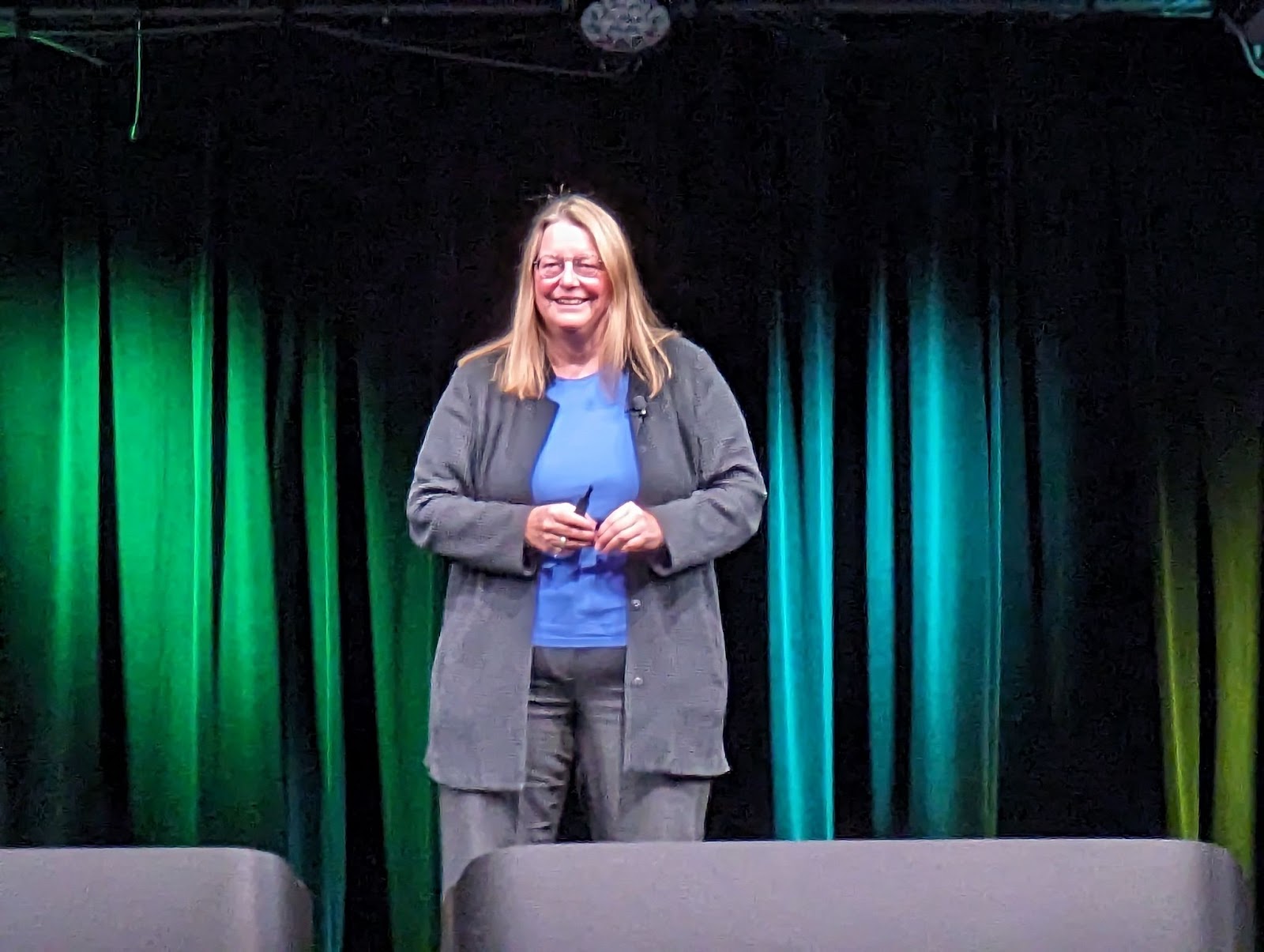
The summit commenced with a captivating keynote address by Rebecca Moore, founder of Google Earth Outreach - the team that created Google Earth Engine. In the face of alarming climate change records, she set the tone with an inspiring message: "We are not here to curse the darkness, but to light the candle."
Another notable keynote speaker was Eric Dinerstein, Director of the Biodiversity and Wildlife Program at RESOLVE. He introduced the Global Safety Net, a new map that extends beyond the existing protected areas (WDPA). This innovative data layer outlines areas where new protected zones are urgently needed to avoid the sixth mass extinction. Moreover, it identifies optimal locations for protected corridors, allowing species to migrate between protected areas. Notably, he said the cost of establishing these vital protected areas would be less than the US spends on pets each year.

Following this was a panel discussion on the Earth Engine Catalog, which contains over 1000 datasets, updated and curated by Simon llyushchenko from the Earth Engine Data team. With an extensive collection exceeding 90 petabytes, users can instantly access, search, remix, and display the data using the Earth Engine API.
Bobby Pinter, our North America General Manager, unveiled the new Publisher Catalog initiative, featuring Geosciences Australia. In this initiative, NGIS can assist public sector data producers to publish directly to the Earth Engine Publisher Data Catalog.
Also announced is the new Community Catalogs, featuring the ‘awesome gee catalog’ curated by Samapriya Roy, with over 1300 datasets contributed. This catalog includes the new Biodiversity Intactness dataset which is now available on Earth Engine.
Other new Earth Engine features announced include exporting features directly to BigQuery tables. Data scientists were very excited about the new ability to convert image collections to python xarrays, effectively streaming collections to multidimensional Python arrays. There is an extraordinary new AI based Cloud Score Plus band for sentinel 2 images that detects clouds and cloud shadows more effectively and is much easier to use.
(Keynote: Rebecca Moore, Director, Google Earth, Earth Engine & Outreach at Google)

There was a full-day workshop by Professor Qiusheng Wu on geemap. The Earth Engine team is now supporting and maintaining core parts of geemap in an initiative to improve the Python environment for interacting with Earth Engine. Geemap is preinstalled on Colab notebooks.
Additionally, Bobby participated in a panel discussion that shed light on the new EUDR rules coming into effect at the end of 2024. Under the new rules, to export any commodity to the EU, such as coffee, it will be necessary to understand the sustainability risks from where the commodity was sourced. This means integrating transaction data. Issues surrounding the EUDR include mixed sourcing, faked origins and what will happen to the commodities not accepted in the EU and how to collect and integrate the data. Implementation and compliance will be a huge challenge for the FMG sector.
Addressing another front of environmental concern, methane emissions emerged as a pivotal topic. Over a 20-year span, uncombusted methane causes 85 times more atmospheric heating than CO2. Tackling methane emissions is a critical short-term strategy for mitigating harmful climate change.
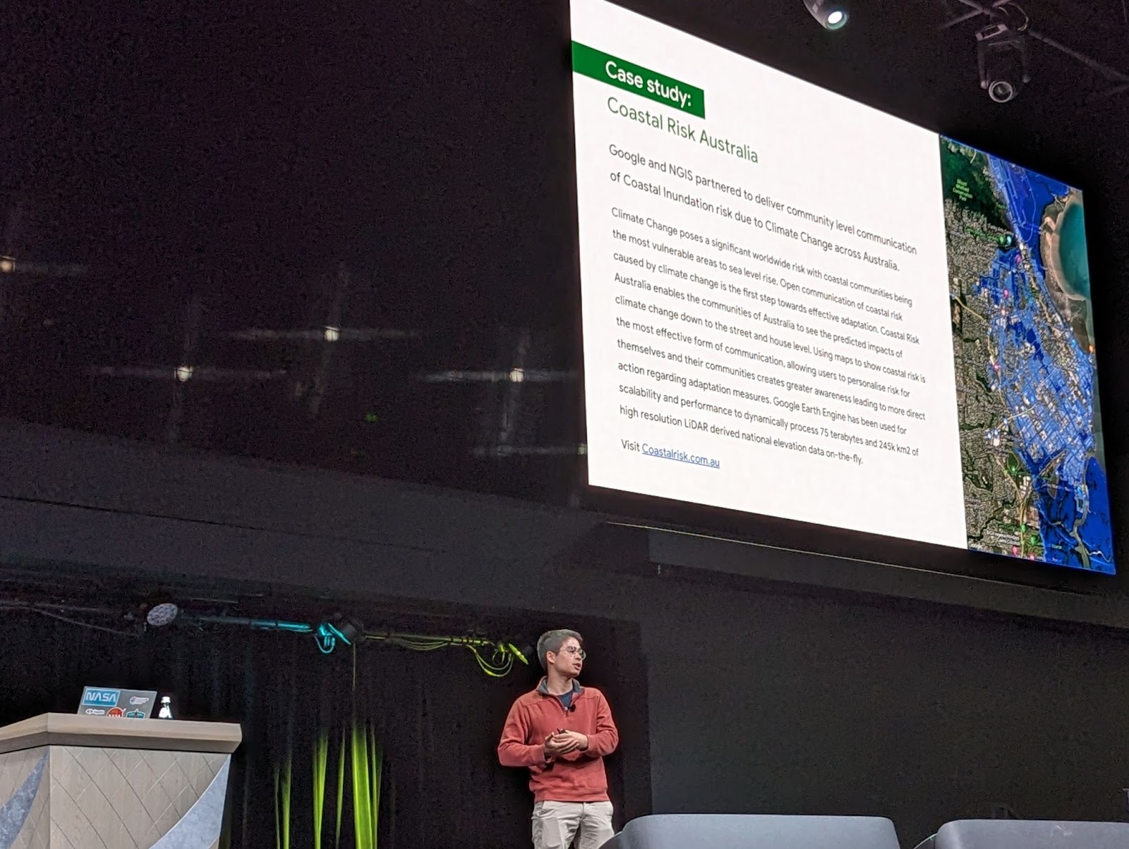
(Bobby Pinter)
MethaneSat is being built by the Environmental Defense Fund to integrate their images into Earth Engine as soon as the satellite launches early next year. The satellite can detect methane to three parts per billion in a 700x700m pixel. To estimate plumes and point sources, the raw data is processed by subtracting the wind effects. Just like finding fire sources from smoke plumes.
The Earth Engine team is working on a model to detect gas and fuel infrastructure from satellite images. The methane and infrastructure layers will work well together to identify easily fixable gas leaks.This rapidly evolving solution addresses an urgent need to rapidly reduce climate heating.
Tackling methane emissions will require gas and oil producers to track their emission reductions.
Over the course of three intensive days, attendees engaged with a multitude of sessions, including 62 speakers, 35 technical sessions, 30 demos, and 5 applied solution tracks, including:
This year's Geo for Good summit welcomed 130 Googlers who play a pivotal role in creating and maintaining transformative geospatial technology. One of the summit's highlights was the unique opportunity for the geospatial community to interact directly with these talented experts, gaining insider knowledge and insights. During one enlightening session, the discussion centred on the potential integration of a large language model (LLM) interface to control geospatial tools, a development that holds the promise of significant productivity gains.
(Alica Sullivan, Product Manager for Google Earth Engine, hosting an EUDR panel)
Back To News Stories