Newsroom
Discover more about the impactful work we do globally.
Filter

Paul swims to Rottnest
NGIS Managing Director Paul Farrell and his brother Brynne completed the Rottnest Channel Swim as a duo on February 27. Setting off shortly after sun rise, the swimmers joined thousands of others for the 19.7 kilometre open water challenge. They finished the swim in 6 hours and 45 minutes.

NGIS travelling to USA for Esri and Google conferences
In early March, NGIS Director Richard Bentley and New South Wales Manager Jeeten Chauhan are travelling to Palm Springs and Las Vegas in the United States of America to get the latest updates from Esri and Google via their exclusive Partner events. The two technology giants are hosting conferences for Premium partner organisations within days

Graham Griffiths new Chairman of NGIS board
The Directors of NGIS Australia are pleased to announce that Graham Griffiths has been appointed as Chairman of the Board. Griffiths was appointed chairman at the beginning of 2016 and brings a wealth of ICT experience to the position. He has multi-faceted (management/tech/sales/marketing/R&D) international experience over 39 years in the IT industry, and geospatial since
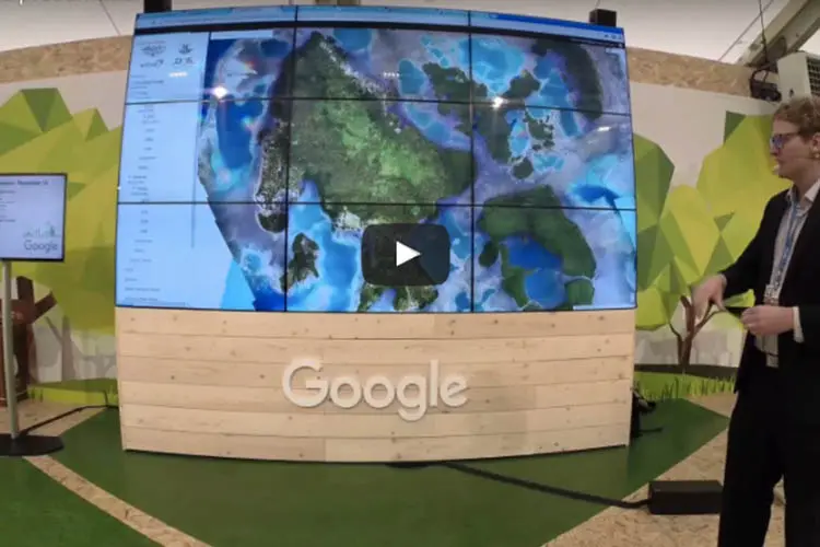
Why GIS training will help your team excel
Decision making is more time sensitive and data driven than ever before. To stay competitive and be leaders in your field, you need to be able to make decisions based on real data in context. Companies like Uber on a global scale and REIWA in Western Australia are using spatial technology to differentiate their brand
![The power of mapping for business [Video]](https://ngis.com.au/wp-content/uploads/2024/05/the-power-of-mapping-for-bus.jpg.webp)
NGIS and CRCSI presenting at Climate Change Conference
Nathan Quadros from CRCSI and Nathan Eaton from NGIS Australia demonstrate at the Paris Climate Change Conference how familiar technologies and high quality fundamental data sets can help people model sea level rise accurately, to allow future infrastructure and town planning.
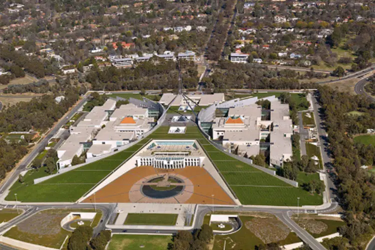
How can Governments transform customer service using their data?
Using Data : A series on governments leading the way in executing innovation “Given the current fiscal constraints and increasing expectations and demands on government services, including for flexible and high quality online/mobile services, new and better uses of existing assets such as data are important now more so than ever.” – Department of Premier & Cabinet,

From Paris with maps: how location data is helping to mitigate and adapt to the effects of climate change
In December around 50,000 people attended the Climate Change Conference in Paris to continue the momentum for a global approach to climate change. An historic alignment of 195 countries to a common goal and a common target of a 1.5-degree increase in temperature from pre industrial time was reached. Much of the work done with

How mapping technology impacts real lives in the Pacific
The mapping application Vanuatu Globe that models sea level rise due to climate change is making a real difference to the lives of the people of Vanuatu. The tool shows people where the greatest impact will be due to sea level rise in low lying Pacific nations, so they can plan their towns and infrastructure for the future.
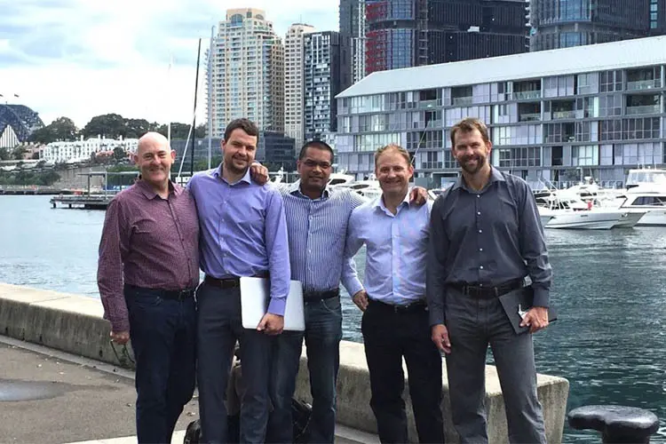
NGIS visits Google offices in Sydney
The NGIS Google Maps team recently visited the Google offices in Sydney to find out about all the latest improvements and changes to the Google for Work suite. The NGIS team met with other Premier Partners and a delegation from Mountain View, California to discuss possible new features and ways of going to market in Australia. Google’s


