Newsroom
Discover more about the impactful work we do globally.
Filter
Bringing paper maps to life with Mapbox GL
Traditionally, maps have been static images on paper that were only referred to when requiring specific locations. They seldom change and had large print runs in frequency cycles of three to five years. The industry changed with the advent of online mapping services and libraries from technology providers like Google, HERE Technologies, Esri, Mapbox, and
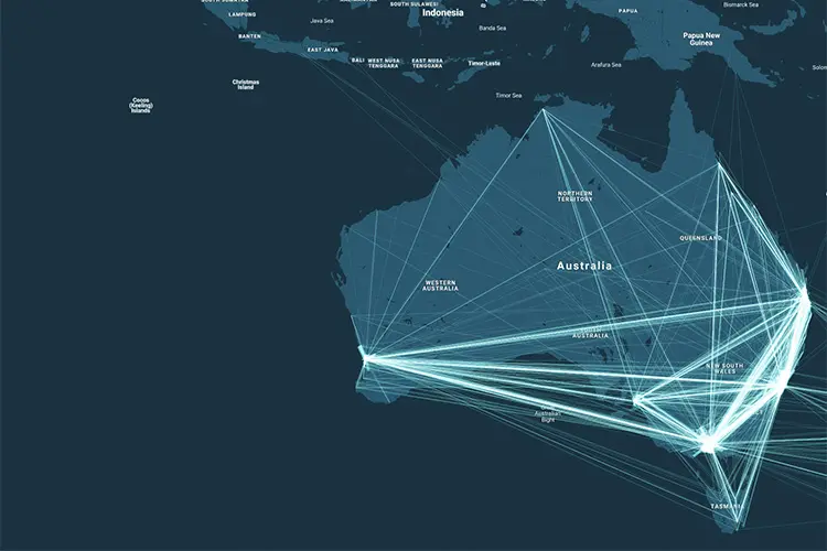
Google Analytics spatial data visualised with BigQuery and CARTO
Google Analytics is a staple component in most business intelligence team’s decision making processes. It provides insights about traffic sources to your website, tracks the success of your paid Ad campaigns and monitors the buyer’s purchasing behavior. However, despite the wonderful insights you can glean using Google Analytics, the location data attached to each prospect’s
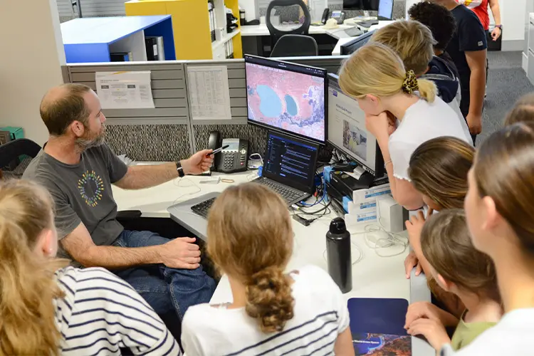
Who’s the boss? NGIS celebrates another Kids at Work Day
The NGIS, Liveli, EO Data Science and Winyama teams celebrated their sixth annual Kids at Work Day on Friday 9th October 2020. It was the biggest turn out ever for the annual event which brought together 21 children, as young as two and as old as 15, and gave them the opportunity to step into their parents shoes and find
Transform, store and analyse your GIS data with FME and BigQuery
Good news Feature Manipulation Engine (FME) users! If you want to crunch your GIS data in BigQuery, it’s now possible with FME available in the Google Cloud Marketplace. This announcement is a gamechanger as it means that geospatial data processing power can now be performed at a previously unmatched level. GIS professionals are really excited

The merits of using the Python API in Google Earth Engine
My own GIS weapon of choice was born of a development by the U.S. Army Corps of Engineers’ Construction Engineering Research Laboratory over 35 years ago – and I attest that GRASS GIS is still one of the best GIS desktop tools in my opinion (but that’s for another Geotech Friday). However, two other weapons that have

Building an Indigenous digital cultural recording
A digital cultural recording is the use of mapping technology and other digital technology recorders, such as video and audio clippings, to document and map the cultural knowledge in the minds of Indigenous Elders. These recordings are crucial as (a lot of the time) Elders can sometimes be too sick to go out on country

How can GIS technology help you work remotely?
For years, Geographic Information Systems (GIS) and remote sensing methods have been utilised in various industries for visualisation, monitoring and management. However, the potential to use GIS to work from home or the office is increasing in popularity as we face various levels of restrictions and safety precautions due to the global COVID-19 pandemic. These
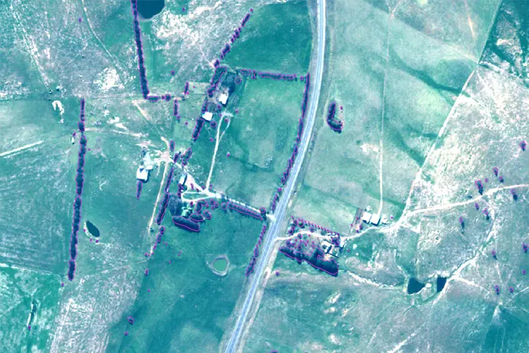
Training your machine learning models properly
Machine learning (ML) is when algorithms learn from data to find patterns, make decisions and evaluate their performance using a specified dataset. This is useful for applications such as image analysis in remote sensing work. Recently, deep learning – a subclass of ML – has become increasingly popular for image processing and computer vision problems.

How the world has embraced spatial technology during the pandemic
As COVID-19 has spread throughout the world, you may have noticed that you’ve been looking at maps more frequently. You probably see these maps during news bulletins, on social media or on official government websites. Most likely, they are communicating levels of infection, recovery rates or death rates. But beyond the morbid statistics, the science
The Power of GDAL
The role of a remote sensing scientist is primarily to capture and extract useful information from spatial data. Taking spatial data and extracting useful, actionable information is an on-going challenge. There are a wide range of commercial software packages to assist in this task that are dedicated to analysing spatial data. However, out-of-box solutions for


