Newsroom
Discover more about the impactful work we do globally.
Filter
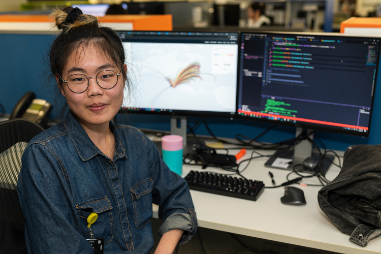
Graduate Developer Daphne Yu
Want to know what it’s really like to work as a Graduate Developer in our team? We asked our talented Graduate, Daphne Yu, to share her experience as a developer in the NGIS Graduate Program, particularly what her day-to-day working life looks like. What does a typical day look like for you at NGIS?

“You will never stop learning” – Jimmy Cheung
No one day looks the same for every employee at NGIS, especially not for our graduates who get many exciting opportunities to work on diverse projects and learn new skills each and every day. To capture the essence of a typical day as a graduate at our organisation, we spoke to our first official GIS

NGIS sponsor and judge ‘How Cool is your School’ competition
NGIS was thrilled to sponsor and select a winner for this year’s She Maps ‘How Cool is your School’ competition. She Maps is a drone and geospatial education company that encourages early student education on mapping skills. Their annual competition asks students to log the amount of shade on their school grounds, calculate the percentage of that

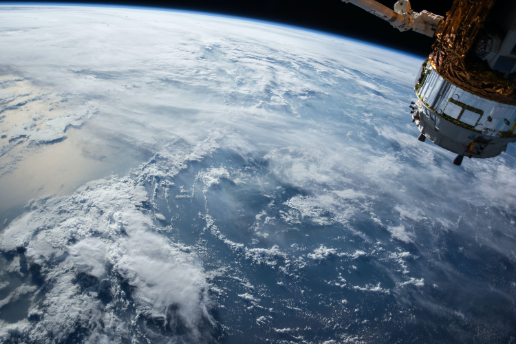
Using Google Earth Engine to render satellite layers on a map
Satellite imagery tells useful stories that can’t be told from the ground—such as providing information about weather and climate, geography and human settlement. This information can be vital for managing global supply chains, predicting and mitigating extreme weather events, and monitoring the environmental impacts of human development. Harnessing this information and moulding it in a

An NGIS Upgrade Solution
The adage ‘time is money’ has never been more relevant as our world grows more connected, we grow more impatient, making only small allowances for inconveniences and downtime when it comes to almost anything. We can all think of a time when our smartphone or PC has needed an upgrade and we have to forego

Accessing geospatial software from anywhere, on any computer.
Geospatial software needs a lot of computing power to operate at its best. If you throw complex 2D or 3D data into the mix, a dedicated graphics processing unit is also required. These factors mean that it can be difficult for those in the geospatial industry to work remotely because in most cases, their work

A sustainable CPG future with cloud geospatial
Nathan Eaton, Executive Director at NGIS, featured at CARTO’s Spatial Data Science in CPG & Retail Summit on May 19th this year. Together with Jeff Sternberg—Technical Director of Applied AI at Google—the pair discussed how NGIS and Google have partnered with CARTO to explore the CPG (consumer packaged goods) and retail industries with a focus on geospatial analytics
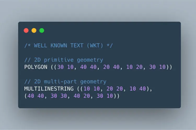
A developer’s guide to working with geospatial data
Coming from a software engineering discipline with no background in geographic information systems (GIS), I have been picking up all sorts of mapping libraries and terms since I joined NGIS over six months ago. In today’s Geotech Friday blog, I will be sharing some beginner concepts for handling geospatial data and some of the useful data types you may
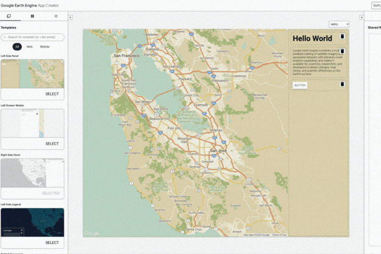
How App Creator helps you make Google Earth Engine Apps
At the Geo for Good Summit 2020, David Gibson, Software Engineer at Google, announced the App Creator which allows users to easily build an Earth Engine App interface. Earth Engine Apps are dynamic user interfaces for sharing your Earth Engine analyses and results online. The app can be viewed by anyone, even if they are not Earth Engine
How to build custom plugins in QGIS
When I needed to change a part on my 4WD expedition truck, there was no spanner known to man that could get the job done. So, I welded one up out of scrap material I had laying around, and while it wasn’t pretty, it did the job. Now, whenever I need to undo that part


