Newsroom
Discover more about the impactful work we do globally.
Filter

Next Mile grows with Iris
With a positive and outgoing attitude, we knew Iris Lee would be the perfect fit to be our new Sales Development Representative in Sydney. Growing up in Hong Kong, Iris achieved a degree in environmental and earth science but soon got bored of the city and decided she wanted a change. Her options were endless with

Rebecca finds her fit at NGIS
Rebecca Moore– Project Manager and Governance Lead, NGIS Born and bred in the UK, Rebecca achieved a Degree in Geography and later completed her Masters in Geographic Information System (GIS). After visiting Australia, she fell in love with the laid-back lifestyle and decided to re-locate with her partner to a property in WA’s wheatbelt, where

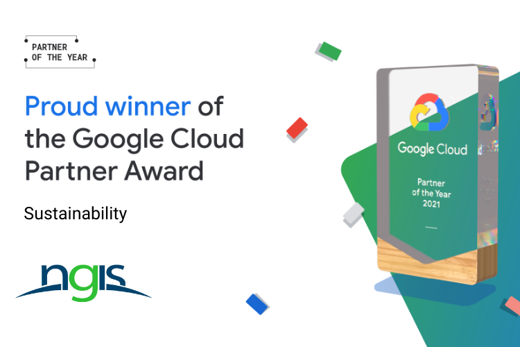
NGIS/TraceMark Achieves Sustainability Partner designation in the Google Cloud Partner Advantage Program
NGIS/ TraceMark today announced that it has achieved the Google Cloud Ready – Sustainability designation in the Google Cloud Partner Advantage Program. By earning the Sustainability designation, NGIS/ TraceMark has proven their success in building and producing solutions and tools on Google Cloud to help customers achieve their sustainability and Environmental, Social, Governance (ESG) goals.

Improving Road Infrastructure Management with Location Intelligence
“Working with NGIS and the CARTO platform has made our day-to-day work more safe and efficient. We’ve overcome field challenges relating to asset identification and ensuring works are reported correctly.” Todd Munro, Asset Management Systems Coordinator, ConnectEast The Client: ConnectEast ConnectEast owns and operates the 39km EastLink toll road, Melbourne’s fastest and most delay-free freeway.

NGIS named in Australian Financial Review’s Sustainability Leaders list
Today NGIS was named a category innovator in the Australian Financial Review’s Sustainability Leaders List of 2022, in association with Boston Consulting Group (BCG) for our work in delivering next generation climate and geospatial solutions with our sustainable sourcing product TraceMark. Alongside 180 other Australian businesses, we were assessed on how we are making real
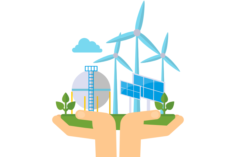
Geospatial is at the heart of a sustainable future
By Brittany Dahl Here’s why NGIS is at the forefront The most innovative, exciting work in Australia right now operates around world-changing solutions, delivered by businesses addressing all four pillars of sustainability, for our global sustainable future: environmental, cultural, social, and economic. There are many ways to achieve the four pillars of sustainability, from environmental
NGIS wins global Google Cloud Sustainability Award.
Perth, June 15th — NGIS today announced that it has received the Google Cloud Industry Solution Partner of the Year – Sustainability award. NGIS is extremely proud to be named the global Google Cloud Industry Solution Partner of the Year for the Sustainability category. This global award recognises our outstanding success in 2021, working with
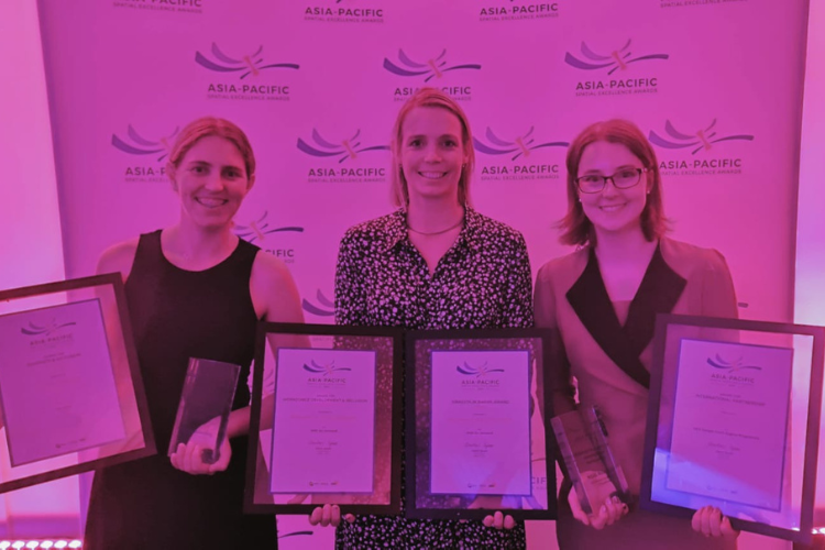
NGIS and partners win two National APSEA awards.
The 2021 National Asia Pacific Spatial Excellence Awards (APSEAs) saw NGIS and our partners EO Data Science and Winyama achieve two awards for our excellence in contributing to the spatial industry throughout the year. After the regional level awards, held in each state and territory in Australia, the winners for each category automatically progress to
Earth Observation technology, a powerful tool for WA business
To celebrate Earth day, I want to provide a simple explanation to our business community here in Western Australia about the power of Earth Observation. There is enormous focus on developing a space industry in Australia and the capabilities that go with it, and the benefits from Earth Observation are part of this. The question


