Blog
Discover more about the impactful work we do globally.
Filter
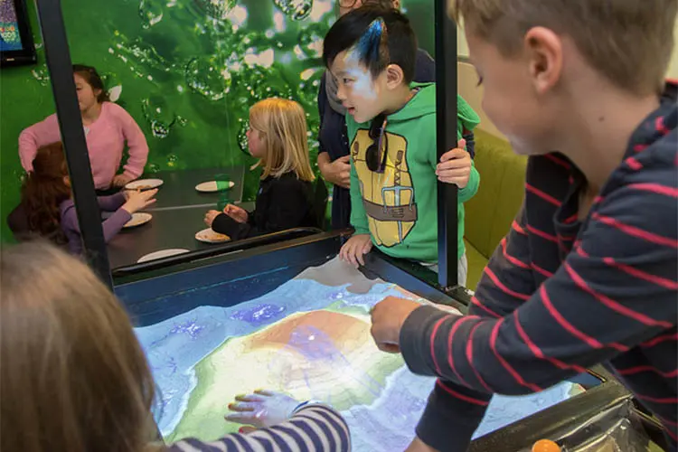
Kids take over NGIS office
NGIS parents brought their kids to work on July 13 so they could learn about where they work and pick up some knowledge about mapping. Bring Your Kids to Work Day is an internationally recognised initiative where children have an opportunity to spend time in their parent’s workplace to learn about the environment and gain some understanding of…

Whether you like it or not, you compete with Uber
You might think you don’t compete against Uber. The reality is you do. We live in a world where we all need to continuously become more efficient. Doing the same or more with less resources is the reality we all live with and the challenge is to make your service as valuable and attractive as…
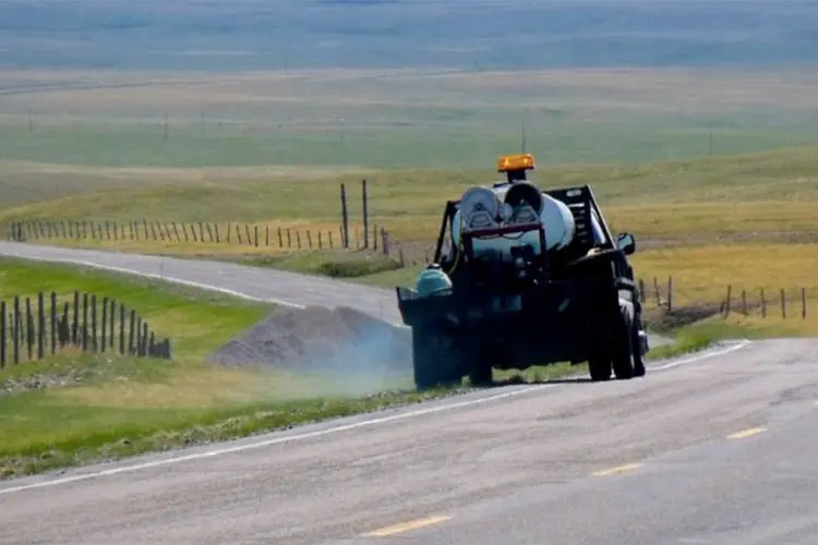
Four ways mapping chemical spray helps councils and business
For companies and council departments in charge of chemical spraying, including pesticides and weed killers, spray logging and mapping is fast becoming an indispensable business tool. The arduous task of keeping track of what chemicals have been sprayed where, when and in what quantities is made easy with spatial tools. That’s because the location of…
How does asset tracking make your business more efficient?
If your company is dependent on a mobile workforce, you no doubt already use some form of a GPS for navigation, but did you know you can get more from it than just directions? By enhancing maps with real-time asset tracking, businesses can achieve greater operational efficiency. When vehicles and drivers are operating smoothly, businesses suffer…

Mapping your next step
I was recently fortunate enough to travel to the US, where I was able to immerse myself into the ESRI US culture for a full 2.5 days culminating in a Business Partner showcase where I saw some cutting edge technology businesses taking the spatial paradigm to a new level, somewhere far from the reach of…

How mapping saves lives and property in an emergency
Limiting the damage a bushfire or storm event has on a community requires emergency response staff to have quick access to accurate information. They need to know where to focus first and where there have already been the worst effects: burnt out buildings, fire fronts and wind direction. Emergency response is becoming more and more…

Using analytics to improve your maps
Free tools like Google Analytics can help you improve your map functionality, ensuring your map credits are used efficiently and give clients the best experience possible for your investment. During the design phase of a project, you have an idea of the functionality your clients will need and try to design accordingly. The design you…

Josh wins SSSI National Map Award
We are very proud of our Josh Coniglio for winning the SSSI National Map (Static – Tertiary) award for his bicycle map of Curtin University. Not only did Josh do a wonderful job of crafting a high quality map but he also managed to combine two of NGIS’ passions (cycling and maps) into the one…

Does your code enable all Google Maps features?
New features, bug fixes and performance improvements are continually being added to the Google Maps for Work API, but they are only added to the new versions of the code. The question is: why should I use the latest version of the API? Google announces new functionality via their development pages. Some recent improvements include…

NGIS wins overall APSEA award
NGIS has won the overall Asia Pacific Spatial Excellence (APSEA) Awards award as well as the category award for the Cyclone Pam Crisis Map, which was built with the CRCSI and Digital Globe. The awards ceremony was part of the Locate16 Conference, APSEA Awards recognised spatial work from 2015. The JK Barrie overall excellence award…


