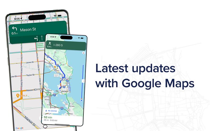
Does your code enable all Google Maps features?

New features, bug fixes and performance improvements are continually being added to the Google Maps for Work API, but they are only added to the new versions of the code.

The question is: why should I use the latest version of the API?

Google announces new functionality via their development pages. Some recent improvements include the addition of predictive travel time, a useful fleet management and dispatch coordination feature. Other, more technical improvements are made on a regular basis.

NGIS recommend that you update to the latest stable API version every six months to strike the balance between programming cost and access to improved functionality.

Are you supported?

While building apps, developers will often use the experimental API code (3.exp) until they launch. The experimental API version is at the cutting edge of functionality, but it can potentially be unstable.

The experimental API is also not covered under the service level agreement (SLA) and is not supported by Google in production environments.

If you’re unsure about your API version or licence status and need help upgrading, please contact NGIS.


Related Articles

Here are more related articles you may be interested in.

Empowering the Abu Dhabi Department of Municipalities and Transport in Traffic Monitoring and Flood Mitigation

Posted on
TraceMark™ Flow an NGIS Solution has helped the Abu Dhabi Department of Municipalities and Transport (DMT) in traffic monitoring and flood mitigation. During the heavy rain event in April 2024, TraceMark™ Flow proved instrumental in managing traffic disruptions and infrastructure challenges by providing real-time data and intuitive dashboards for swift, informed decision-making. Beyond traffic monitoring, TraceMark™…
Read More Empowering the Abu Dhabi Department of Municipalities and Transport in Traffic Monitoring and Flood Mitigation

TraceMark takes home the Transformative Solutions Award at The INCITE Awards

Posted on
We are pleased to announce that NGIS has won the Transformative Solutions Award for our TraceMark™ Sustainable Sourcing platform at this year’s INCITE Awards. Earlier this month, our team attended the awards ceremony at The Westin Perth. It was a wonderful evening, and a fantastic opportunity to meet so many West Australian innovators. This award…
Read More TraceMark takes home the Transformative Solutions Award at The INCITE Awards

NGIS shines at Locate24: celebrating success and innovation in geospatial technology

Posted on
Last month, NGIS had the pleasure of being the premium sponsor at Locate24, a premier event packed with highlights and opportunities for the geospatial community. The bustling three-day conference, held at ICC in Sydney, saw over 1000 delegates attend from around Australia and overseas. It was a fantastic platform for connecting with our peers, partners…
Read More NGIS shines at Locate24: celebrating success and innovation in geospatial technology

Unveiling our Inaugural Impact Report: Building a Better Future Together

Posted on
We are thrilled to unveil our first Impact Report, showcasing our commitment to making a positive impact in everything we do. We’re proud to share with you the initiatives we’ve undertaken to solve some of the most pressing global issues. Join us as we celebrate our achievements and highlight impact through geospatial. Key Achievements: Bridging…
Read More Unveiling our Inaugural Impact Report: Building a Better Future Together

Navigating the future: Unlocking the power of immersive 3D realities from Google

Posted on
In a world that is anything but flat, our digital experiences often remain confined to the limitations of a 2D environment. However, the real world is three-dimensional and the potential for innovation lies in bridging the gap between our digital and physical realities.  While 3D data and applications have been around for some time, they…
Read More Navigating the future: Unlocking the power of immersive 3D realities from Google