Blog
Discover more about the impactful work we do globally.
Filter

Groundwater management gets boost with new tool
The Perth Groundwater map allows you to easily visualise groundwater information within the Perth metropolitan area. Designed to help water-bore drillers, irrigators and private householders establish groundwater bores within the watertable, under the Earth’s surface. This map is useful for indicating suitable areas for development, measuring depths and indicating groundwater salinity levels for approved groundwater licenses. Built by…
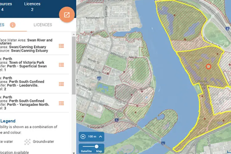
Finding water register information now easier
The Department of Water’s Water Register map now allows you to search, view and print all water licensing and availability information for both surface and groundwater resources. Providing an interactive and intuitive map allows you to access all licensing and resource information at any point of interest within WA. The Water Register Map is crucial in facilitating…
Carto: turn your business data into intelligence
Mapping data in your business has historically been the domain of GIS experts and has relied on complex software that takes time to learn. Strong business cases were needed to justify building applications to display data. Enter Carto: one of the biggest disruptions to the business intelligence industry yet. Carto is a cloud based GIS system for…

Geofencing: perfectly timed communications for better business
You park at your local shopping centre and your phone buzzes. It’s an instant notification from the centre’s bakery: “Fresh-baked rye bread 50% off today!” This kind of timely, relevant and useful B2C communication is made possible by geofencing and if you’re not already using geofencing technology in your business, now is the time to…

How 3D mapping software can help local councils
3D GIS software Skyline allows councils to evaluate the aesthetic, practical and environmental impact of a proposed project or natural event. This cutting edge technology provides a realistic 3D environment, above and below ground where users can build, edit, navigate, query and analyse data. Skyline provides solutions to local councils’ top problems: shadow analysis and sight calculations,…
Four challenges in last-mile delivery that still cost businesses money
At the recent Home Delivery Asia Pacific conference in Melbourne around 80 people gathered to discuss the challenge of the notorious “last mile”, the most complex leg of the delivery journey from sender to receiver. Challenges around the exact location of customers – in various places in the world where standard addressing conventions might not…

Aussies help neighbours most at risk from rising seas
For the first time, Pacific Islanders living in Vanuatu can visualise how their homes, neighbourhoods – and even popular Australian tourist spots – will be inundated by rising sea levels driven by climate change. The Coastal Risk Vanuatu website, created in Australia and launched globally today, charts low-lying coastline of a number of Vanuatu islands…
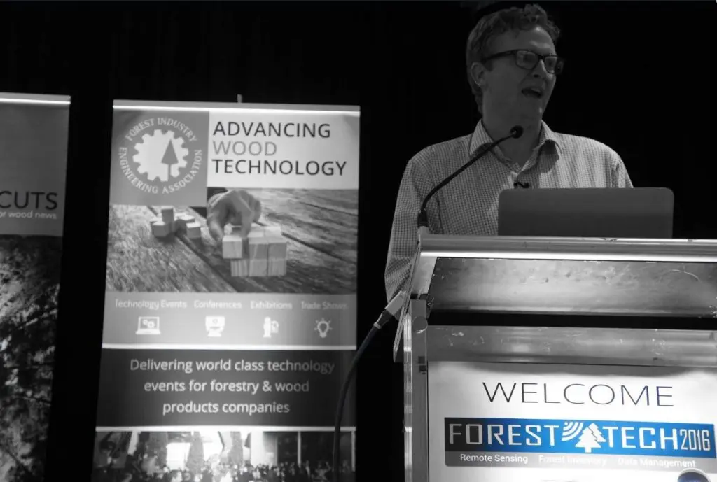
Data-driven approach helping with forestry management
Remote sensing and the increasing use of UAVs are making the management of forestry more accurate than it has ever been. Rapid progress in data capture sensors and techniques in forestry means a massive expansion in the data available to the industry. The opportunity currently presented to the forestry industry is to make this data…
Staff culture — how it has unlocked our success
At after work drinks recently we were enjoying the sunshine and the view of the Perth skyline over the Swan river, when a group of women entrepreneurs came and asked to share our table. Naturally we started networking and one lady said to me she was completely blown away by the passion as I spoke…
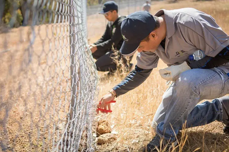
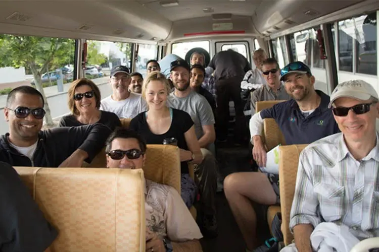
NGIS volunteering day 2016 a success
NGIS has completed another successful annual volunteer day, this year at the Paruna Wildlife Sanctuary: 19 hectares of pristine bushland in the Avon Valley and Walyunga National Park region. The company flew members of the team from New South Wales and Victoria to Perth and took time out of the office to help preserve native…


