Blog
Discover more about the impactful work we do globally.
Filter

Kids bring the holiday season to NGIS
NGIS had another successful Bring Your Kids to Work Day on July 13 when children joined the office and spent time learning about their parent’s workplace. Learning sessions for the 13 kids in attendance were based on the theme of holidays, using a personalised map, Geoguessr and plenty of doughnuts. The kids were able to draw out detailed pictures of what they did…

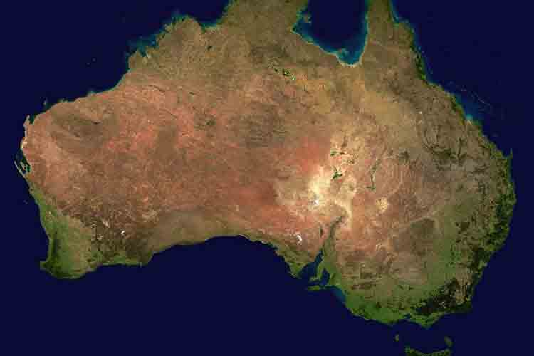
Coastal Risk Australia shows worsening sea-level changes
NGIS Australia have updated Coastal Risk Australia, to show the worsening effects of coastal flooding driven by climate change. This years’ National Oceanic and Atmospheric Administration (NOAA) reported in the US revealed an increase in sea levels by 2.7 metres by 2100, following on a high- emissions path. This was initially considered a worst case scenario…
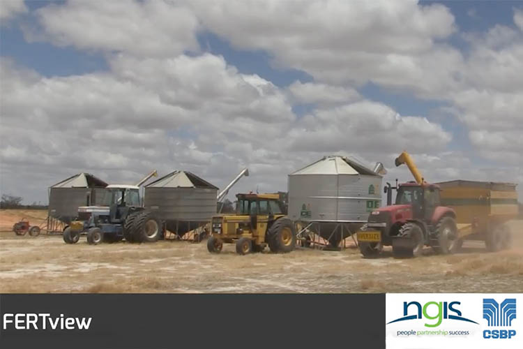
NGIS wins WAITTA award: Most effective platform
NGIS Australia won the Most Effective Platform category for FERTview, partnering with CSBP Limited at the Western Australian Information Technology and Telecommunications Awards (WAITTA). NGIS Australia also confirmed a National finalist position for the Most Disruptive Technology category with GreenPrecision, also partnering with CSBP Limited. The recognition at WAITTA for building disruptive and sustainable solutions is…

Driverless cars will change how we live
Riding the RAC Intellibus – a view to the future I went on the RAC Intellibus in March to see what the future of driverless vehicles might look like. The future is very bright and it is going to change how we live in ways that we might not expect. The bus ride itself…

Who is your “Hey Bob”?
by Richard Bentley, Executive Director Do you have a “hey Bob” in your office? Your chief “hey Bob” will be easy to spot. They are the anointed power user of a piece of software/system or several pieces of software or systems. The problem with the office Bob is they are probably one of your least…
NGIS finalists in three ICT Innovation awards
WAITTA INCITE AWARDS: NGIS Australia has been nominated as finalist in three categories at the WA Information Technology and Telecommunication Alliance Awards. NGIS Australia is the most recognised company in the awards, finalists for most disruptive technology, most effective platform and most impactful social benefit. The WAITTA INCITE awards recognise innovation across the information and…
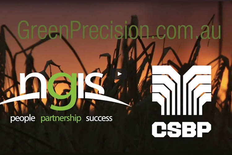
NGIS win APSEA People and Community Award
NGIS Australia won the regional Innovation and Commercialisation award at the Asia Pacific Spatial Excellence Awards in April. The APSEA awards recognises excellence by organisations and individuals in the spatial industry across the Asian Pacific region. NGIS Australia, in partnership with CSBP Limited, received the Innovation and Commercialisation award for their technology, GreenPrecision. Green Precision…
NGIS wins water grant to innovate in market
NGIS is set to undertake a feasibility study with the help of the Business Research Innovative Initiative Grant 2017. The BRII Grant will allow NGIS to tap into innovative solutions for current problems within Australian water markets. The focus of this feasibility report will be to improve the transparency and reliability of water market information…

Groundwater management gets boost with new tool
The Perth Groundwater map allows you to easily visualise groundwater information within the Perth metropolitan area. Designed to help water-bore drillers, irrigators and private householders establish groundwater bores within the watertable, under the Earth’s surface. This map is useful for indicating suitable areas for development, measuring depths and indicating groundwater salinity levels for approved groundwater licenses. Built by…


