Four ways mapping chemical spray helps councils and business

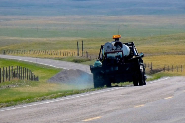
For companies and council departments in charge of chemical spraying, including pesticides and weed killers, spray logging and mapping is fast becoming an indispensable business tool.
The arduous task of keeping track of what chemicals have been sprayed where, when and in what quantities is made easy with spatial tools. That’s because the location of each spraying session is automatically logged onto a map and stored with additional data such as the date and time, chemical type, operator name and the quantity applied.
This kind of detailed information is crucial in today’s health and environmentally conscious society. Communities are increasingly aware of chemical usage in their local environment and customers expect accountability, demanding thorough reporting from chemical sprayers.
Accurate reporting is also easier with spray logging technology. In the event of community concern, it makes reporting easier by delivering accuracy and traceability. For suppliers, logging overhauls the entire reporting process with dramatic time and cost saving results.
1. Less Paperwork, Greater Accuracy
Typically, workers use pen and paper to record where they have sprayed, including details of the chemicals and quantities used. This is then manually transcribed into a computer system by office staff. Electronic capture not only frees data-entry staff to complete higher value tasks, it also saves on paperwork with the following benefits:
- Data is captured at the source with little room for introduced errors
- Reporting is consistent, automated and up-to-date; it is not dependent on workers’ timeliness or completeness
- There is no need for workers to visit head-office to submit paperwork. Transient workforce management is therefore made easy, with data uploaded at the end of each job
- Information roll-up happens without collating paperwork or time-consuming spreadsheet calculations. Instead, job data rolls up by itself to give head office a complete map of usage
2. Superior Traceability
By equipping each spray rig (on a vehicle or a backpack) with a flow-meter and a connected GPS unit, it is possible to pinpoint where chemicals are sprayed, in exact quantities. In addition to monitoring chemicals, management can also monitor workers to check if they are doing their work as scheduled. The overall result is:
- Superior chemical management and traceability
- Mitigated public liability (for example, through more accurate spraying and no over spraying)
- Improved compliance and customer satisfaction
- Ability to respond to public enquiries
3. Reduced Human Error
Manual reporting and person to person data transfer is prone to human error. Spray logging and mapping takes the onus off staff members and reduces the likelihood of expensive mistakes:
- No need for staff to record spray data, submit paperwork or complete data entry tasks
- Workers don’t need to worry about inaccuracy of maps or their ability to read and annotate maps; all geodata is logged automatically
- Data won’t be at risk of loss during transfer from workers to head office as it is transferred automatically
- Minimal training is required to use spray logging and mapping systems; simply give the GIS enabled spray equipment to workers, show them how to turn it on and they’re ready to go
4. Accurate Auditing, Closeout and Billing
When it comes to auditing projects, billing for work and paying contractors, automated reporting systems dramatically reduce the workload of administration, payroll and accounting departments. Instead of wasting hours chasing up people and information, everything is stored in one accessible central location:
- Chemical spraying projects can be audited using a map, enabling easy checking of completeness and accuracy
- Contractors and workers can also be audited, making it easy to see which contractors completed each section of work
- Closeout information can be viewed on a per project basis for easy invoicing and reporting to customers
- Job and hours information can be viewed on a per contractor basis for accurate payment and payroll
Before spray logging technology, detailed reporting for chemical spraying was more expensive, paperwork intensive and prone to human error. Now, mapping technology helps companies and councils save money.
NGIS Australia are agents for Agterra’s SprayLogger, and we’re ready to help your company get started. We can provide advice, training workers and supply hardware and software. Get in touch with us to find out more.
Related Articles
Here are more related articles you may be interested in.


