Geospatial Technology Solutions

    Seeing the City in a Whole New Dimension

    Seeing the City in a Whole New Dimension

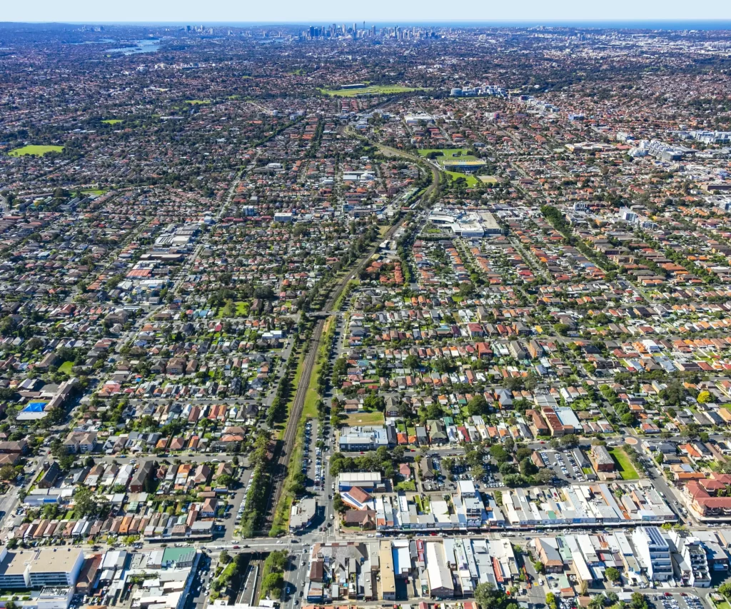
    The City of Canterbury Bankstown needed a better way to plan and communicate urban development. NGIS delivered a powerful 3D digital model using the Skyline Enterprise Technology Suite, giving council staff, planners, developers and residents a dynamic, interactive view of the city.

    Read more
    How Abu Dhabi is using AI-Data to reduce traffic Congestion

    How Abu Dhabi is using AI-Data to reduce traffic Congestion

    NGIS was engaged by the Integrated Transport Centre (Abu Dhabi Mobility) to implement the Google traffic service TraceMark™ Flow. TraceMark™ Flow by NGIS is a next-generation traffic monitoring product designed for public sector organizations

    Read more
    Remotely monitoring protected lakes

    Remotely monitoring protected lakes

    Remotely monitoring protected lakes

    Read more
    Communicating with maps: Data driven innovation for the grains industry

    Communicating with maps: Data driven innovation for the grains industry

    Communicating with maps: Data driven innovation for the grains industry

    Read more
    Using carto to display data: National planning with local context

    Using carto to display data: National planning with local context

    Using carto to display data: National planning with local context

    Read more
    Mapping sports data for insight

    Mapping sports data for insight

    Mapping sports data for insight

    Read more
    Event and road closure planning

    Event and road closure planning

    Using maps to communicate

    Read more
    University campus wayfinder

    University campus wayfinder

    Helping people get around campus

    Read more
    Improving mapping technology for the University of Auckland

    Improving mapping technology for the University of Auckland

    A university map that allows on and off campus navigation

    Read more
    Indoor navigation enhancing the event industry

    Indoor navigation enhancing the event industry

    Paper maps are a thing of the past

    Read more