Event and road closure planning

Busy venues
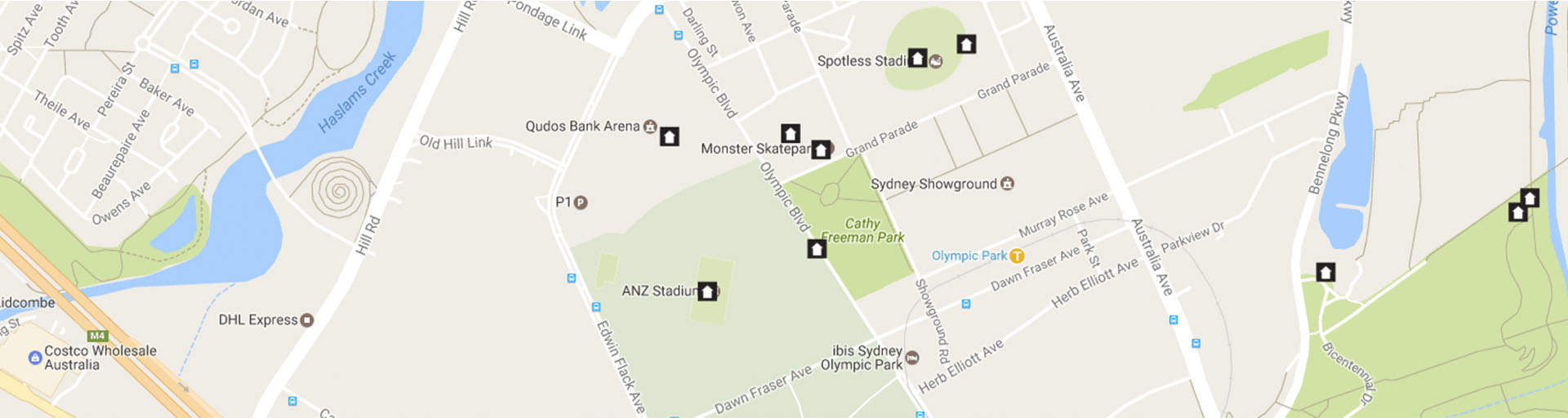
Sydney Olympic Park is a fast-growing vibrant suburb in the heart of metropolitan Sydney. Sydney Olympic Park is renowned in Australia as a premier destination for cultural, entertainment, recreation and sporting events all year round.
Sydney Olympic Park Authority is the NSW Government agency responsible for managing and developing Sydney Olympic Park as a lasting legacy of the Sydney 2000 Summer Olympic and Paralympic Games. They look after $1.8 billion of infrastructure, and public assets such as open spaces, sporting venues, parklands and development areas.

Improved wayfinding
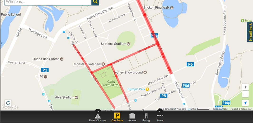
The Authority needed to improve wayfinding and customer experience, particularly around planned road closures and locating other points of interest in and around Sydney Olympic Park. Customers needed a way to plan their journey with a user-friendly map.
NGIS developed a cross-platform and device-compatible web and mobile application. This interactive app gave users information on road closures based on dates, allowing customers to plan their journey by clicking on a calendar date and viewing all the planned road closures.
This was done using Google Cloud Platform and Google Maps API, as the most cost-effective, highly available and scalable architecture. The authority is able to manage the content with an admin portal to add, remove, schedule and manage road closures.