Empowering the Abu Dhabi Department of Municipalities and Transport in Traffic Monitoring and Flood Mitigation

Empowering the Abu Dhabi Department of Municipalities and Transport in Traffic Monitoring and Flood Mitigation

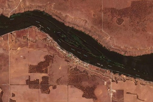
TraceMark™ Flow an NGIS Solution has helped the Abu Dhabi Department of Municipalities and Transport (DMT) in traffic monitoring and flood mitigation. During the heavy rain event in April 2024, TraceMark™ Flow proved instrumental in managing traffic disruptions and infrastructure challenges by providing real-time data and intuitive dashboards for swift, informed decision-making. Beyond traffic monitoring, TraceMark™…

Read article

NGIS shines at Locate24: celebrating success and innovation in geospatial technology

NGIS shines at Locate24: celebrating success and innovation in geospatial technology

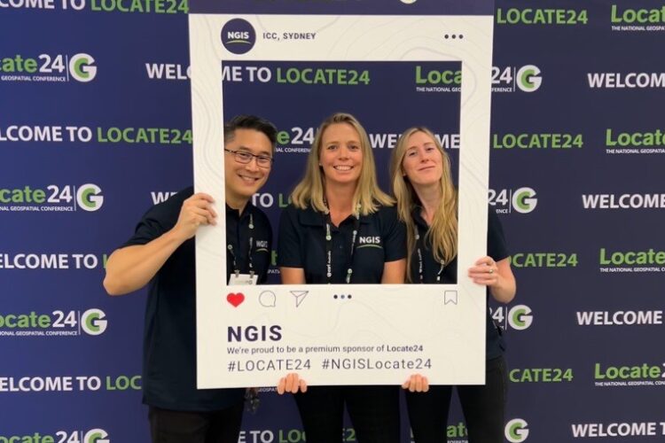
Last month, NGIS had the pleasure of being the premium sponsor at Locate24, a premier event packed with highlights and opportunities for the geospatial community. The bustling three-day conference, held at ICC in Sydney, saw over 1000 delegates attend from around Australia and overseas. It was a fantastic platform for connecting with our peers, partners…

Read article

How NGIS enhanced REIWA’s property search with advanced GIS mapping

How NGIS enhanced REIWA’s property search with advanced GIS mapping

NGIS and the Real Estate Institute of Western Australia (REIWA) collaborated to update the  property hunting landscape on reiwa.com. As the leading representative of more than 85% of active agents in the state, REIWA aimed to elevate its online listings platform by incorporating advanced features and providing users with comprehensive and up-to-date property information. What…

Read article

NGIS creates an interactive battle hologram for Australian Defence Force

NGIS creates an interactive battle hologram for Australian Defence Force

NGIS teamed up with Skyline and Axiom, the world leaders in hologram equipment, to create a Commander’s Augmented Reality Mission Support Application System (C-ARMSAS) as an innovative exploration of concepts for the Australian Army.  C-ARMSAS is a next generation technology that could be used to assist in mission planning, war-gaming, and execution capability. The holographic…

Read article

Using Earth Observation to monitor floods with Planet imagery

Using Earth Observation to monitor floods with Planet imagery

Australia is experiencing a widespread flooding crisis. From heavy rainfall in Northern and Central Queensland, rising waters in New South Wales and South Australia, to ongoing major flooding in Western Australia – the rains are causing havoc all over the country. While floods can bring welcome relief for ecosystems suffering from drought, they pose a serious…

Read article

The Future is Now: Next Generation Geo Enterprise Solutions in Sustainability

The Future is Now: Next Generation Geo Enterprise Solutions in Sustainability

On Tuesday, November 15th, NGIS partnered with Google and held an exclusive launch of sustainability solutions using Google Earth Engine at Google’s office in Sydney. The event focused on real life environmental, agriculture and climate risk  applications where Google Earth Engine is used.  Speakers at the event included Nathan Eaton from NGIS and Ian McPherson…

Read article

A National Digital Environmental Health Decision Support Platform

A National Digital Environmental Health Decision Support Platform

By 2030, the direct damage of costs to health is expected to be between $3-6 billion per year, due to rising temperatures, extreme weather and increasing carbon dioxide levels. In turn, these have an impact on heat-related illness and death,cardiovascular failure, injuries, vector-borne and water-borne diseases, asthma, cardiovascular disease, respiratory allergies, and mental health.  …

Read article

Geospatial is at the heart of a sustainable future

Geospatial is at the heart of a sustainable future

By Brittany Dahl Here’s why NGIS is at the forefront The most innovative, exciting work in Australia right now operates around world-changing solutions, delivered by businesses addressing all four pillars of sustainability, for our global sustainable future: environmental, cultural, social, and economic. There are many ways to achieve the four pillars of sustainability, from environmental…

Read article

Earth Observation technology, a powerful tool for WA business

Earth Observation technology, a powerful tool for WA business

To celebrate Earth day, I want to provide a simple explanation to our business community here in Western Australia about the power of Earth Observation. There is enormous focus on developing a space industry in Australia and the capabilities that go with it, and the benefits from Earth Observation are part of this. The question…

Read article

Adding data value to your current GIS stack

Adding data value to your current GIS stack

It is common within mining, transport and logistics, government, utilities and emergency services organisations to see extensive investments made into the use of enterprise GIS technologies. What businesses like about technology like Esri’s ArcGIS, QGIS or Skyline is their ability to scale and perform highly complex GIS tasks for major projects. What many people don’t…

Read article