Newsroom
Discover more about the impactful work we do globally.
Filter
Subscribe to the #GeotechFriday newsletter
If you want to keep up-to-date with exciting new developments and technologies in the geospatial industry, then you’re in luck. NGIS has a team of GIS analysts and developers that are working with an array of technology stacks. NGIS has released #GeotechFriday, the fortnightly blog written by and dedicated to the people who are working every…

What Cloud data warehouse is best for geospatial processing?
Spatial science teams need a data warehouse that can support the sheer volume of geospatial data they have to process. There are now a number of Cloud data warehouse options available in the market and this has created a new challenge for organisations; how does a GIS team decide which data warehouse will meet the…
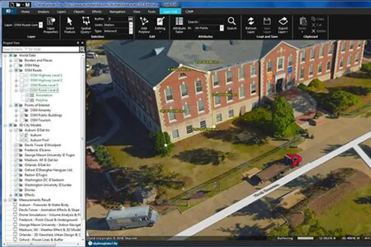
How to stream GIS data into online virtual reality
Building a Virtual Reality (VR) environment using spatial data was a task previously reserved for developers with a strong understanding of Geographic Information System (GIS) data and gaming engines, which – as you can guess – was a niche area of expertise. However, Skyline’s TerraExplorer 7.2 release is the first GIS platform to make streaming…

The benefits of staying QGIS savvy
QGIS has been revolutionising the availability and usability of geographic information systems (GIS) for professionals and amateurs alike. Its ability to do almost anything spatial – from creating maps and performing spatial operations to analysing geospatial data has made it the most used desktop GIS application in the open-source space. With more features and plugins…