Blog
Discover more about the impactful work we do globally.
Filter

No phone reception? No problem with ArcGIS Field Maps
Have you ever been navigating somewhere with Google or Apple Maps when all of a sudden your base map stops updating? Then you look at your phone and realise you are out of mobile reception range? Living in the big state of Western Australia, I’ve had this issue many times. This is where offline capable…
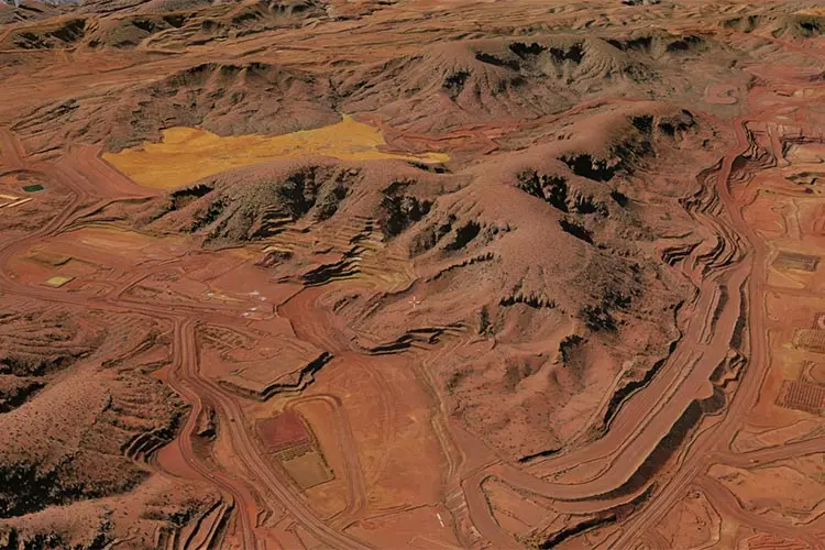
Stacking up 3D GIS heavyweights: Google Earth Enterprise & Skyline
Of the 3D Geospatial Information System (GIS) platforms currently available on the market, Skyline and Google Earth Enterprise (GEE) are usually found at the top of people’s lists. Skyline is a commercially licensed and supported GIS platform, whereas Google Earth Enterprise is an unsupported and open source GIS platform. When it comes to choosing a platform that works with…
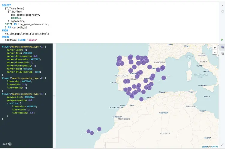
Want to query GIS data in Google Cloud? You need to know Spatial SQL
In one of our most recent Location Matters podcast episodes, BigQuery Product Manager at Google, Chad Jennings and Director of Spatial Data Science, Matt Forrest, both acknowledged that for the up and coming GIS experts, it was a must to learn Spatial Structured Query Language (SQL). But why? As a society, we are ingesting more…
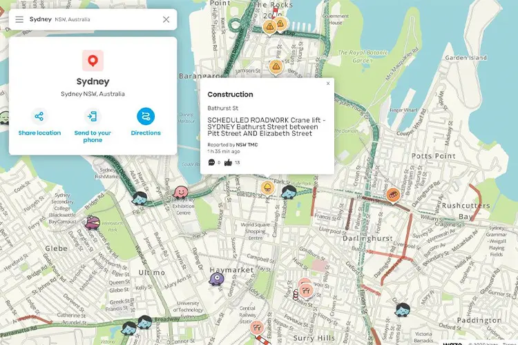
Importing real time roads and traffic data into Waze
Waze is a GPS navigation app owned by Google that combines Google’s road network information with their data feed partners. This information is collected and verified plus provides timely updates to changes on the road from planned road works to broken down cars and speed camera locations. Waze partners can independently communicate road closures and…

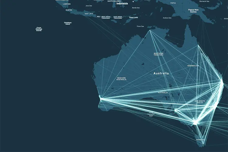
Bringing paper maps to life with Mapbox GL
Traditionally, maps have been static images on paper that were only referred to when requiring specific locations. They seldom change and had large print runs in frequency cycles of three to five years. The industry changed with the advent of online mapping services and libraries from technology providers like Google, HERE Technologies, Esri, Mapbox, and…
Google Analytics spatial data visualised with BigQuery and CARTO
Google Analytics is a staple component in most business intelligence team’s decision making processes. It provides insights about traffic sources to your website, tracks the success of your paid Ad campaigns and monitors the buyer’s purchasing behavior. However, despite the wonderful insights you can glean using Google Analytics, the location data attached to each prospect’s…
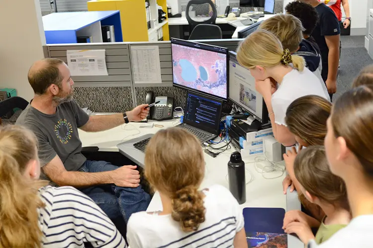
Who’s the boss? NGIS celebrates another Kids at Work Day
The NGIS, Liveli, EO Data Science and Winyama teams celebrated their sixth annual Kids at Work Day on Friday 9th October 2020. It was the biggest turn out ever for the annual event which brought together 21 children, as young as two and as old as 15, and gave them the opportunity to step into their parents shoes and find…
Transform, store and analyse your GIS data with FME and BigQuery
Good news Feature Manipulation Engine (FME) users! If you want to crunch your GIS data in BigQuery, it’s now possible with FME available in the Google Cloud Marketplace. This announcement is a gamechanger as it means that geospatial data processing power can now be performed at a previously unmatched level. GIS professionals are really excited…

The merits of using the Python API in Google Earth Engine
My own GIS weapon of choice was born of a development by the U.S. Army Corps of Engineers’ Construction Engineering Research Laboratory over 35 years ago – and I attest that GRASS GIS is still one of the best GIS desktop tools in my opinion (but that’s for another Geotech Friday). However, two other weapons that have…

Building an Indigenous digital cultural recording
A digital cultural recording is the use of mapping technology and other digital technology recorders, such as video and audio clippings, to document and map the cultural knowledge in the minds of Indigenous Elders. These recordings are crucial as (a lot of the time) Elders can sometimes be too sick to go out on country…


