Blog
Discover more about the impactful work we do globally.
Filter

Morrison Government backs Aussie industry for Critical Intelligence Program
The Morrison Government can today reveal two Australian businesses and a leading NSW university will share in $1.2 million as part of a program to strengthen Australia’s critical geospatial intelligence capabilities. Spatial consulting agency NGIS, Perth-based technology company ISOLABS and the University of Wollongong are the successful applicants for the second round of the Australian Geospatial-Intelligence Organisation (AGO) Analytics…
From GIS student to Data Scientist
Working as a data scientist at NGIS means that each day in the office is different. One day you could be monitoring deforestation using Google Earth Engine, the next you could be providing crucial capacity building training to researchers who are tackling some of the world’s most challenging environmental issues. That’s what ‘work life’ looks…
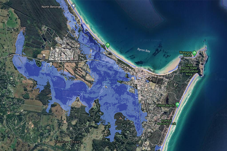
New report shows iconic Australian beaches could be washed away
Without immediate climate action, Australia’s pristine coastline, iconic beaches and tourism hotspots could be washed away. Coastal Risk Australia illustrates the severity of rising seas based on the latest scientific modelling, via an interactive web map that allows the public to search how rising sea levels may encroach on their community. The website, developed in partnership…

Adding data value to your current GIS stack
It is common within mining, transport and logistics, government, utilities and emergency services organisations to see extensive investments made into the use of enterprise GIS technologies. What businesses like about technology like Esri’s ArcGIS, QGIS or Skyline is their ability to scale and perform highly complex GIS tasks for major projects. What many people don’t…
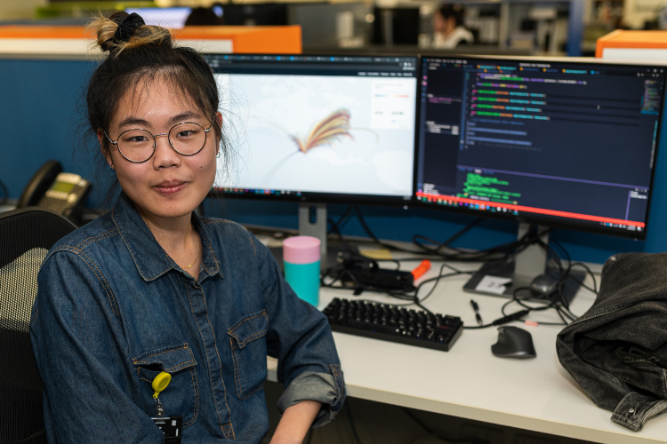
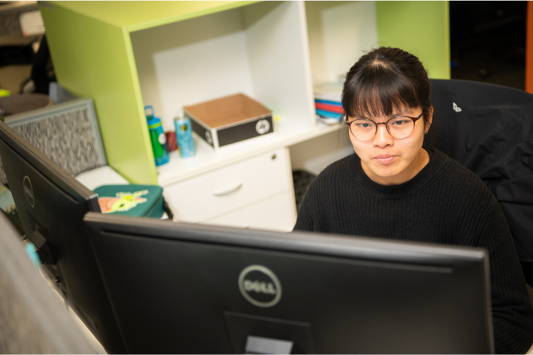
Graduate Developer Daphne Yu
Want to know what it’s really like to work as a Graduate Developer in our team? We asked our talented Graduate, Daphne Yu, to share her experience as a developer in the NGIS Graduate Program, particularly what her day-to-day working life looks like. What does a typical day look like for you at NGIS? …

“You will never stop learning” – Jimmy Cheung
No one day looks the same for every employee at NGIS, especially not for our graduates who get many exciting opportunities to work on diverse projects and learn new skills each and every day. To capture the essence of a typical day as a graduate at our organisation, we spoke to our first official GIS…

NGIS sponsor and judge ‘How Cool is your School’ competition
NGIS was thrilled to sponsor and select a winner for this year’s She Maps ‘How Cool is your School’ competition. She Maps is a drone and geospatial education company that encourages early student education on mapping skills. Their annual competition asks students to log the amount of shade on their school grounds, calculate the percentage of that…

Using Google Earth Engine to render satellite layers on a map
Satellite imagery tells useful stories that can’t be told from the ground—such as providing information about weather and climate, geography and human settlement. This information can be vital for managing global supply chains, predicting and mitigating extreme weather events, and monitoring the environmental impacts of human development. Harnessing this information and moulding it in a…

An NGIS Upgrade Solution
The adage ‘time is money’ has never been more relevant as our world grows more connected, we grow more impatient, making only small allowances for inconveniences and downtime when it comes to almost anything. We can all think of a time when our smartphone or PC has needed an upgrade and we have to forego…

Accessing geospatial software from anywhere, on any computer.
Geospatial software needs a lot of computing power to operate at its best. If you throw complex 2D or 3D data into the mix, a dedicated graphics processing unit is also required. These factors mean that it can be difficult for those in the geospatial industry to work remotely because in most cases, their work…


