Empowering You with Real-World GIS Expertise
NGIS is an independent training provider offering a comprehensive suite of GIS training courses designed to increase the capabilities of geospatial professionals at every level.
Our hands-on courses cover essential GIS skills, from foundational knowledge to advanced techniques, tailored to industries such as utilities, resources, natural resource management, environment and health. Whether you’re seeking to improve efficiency, or upskill, our training ensures you’re fully equipped.
We specialise in public courses and curating private geospatial training programs tailored to fit organisational needs.
Organisations Trained
Training Participants
Experienced Trainers
Dedicated Learning Facilities

Why NGIS Training?
- Practical, Industry-Relevant Skills: Learn from professionals working on live geospatial projects.
- Relatable Examples: Courses built using Australian data and real-world use cases.
- Truly Independent: Licensed or open source, we train across multiple platforms. The right tool depends on your needs, not ours.
- Built Around Your Team: Private programs can be configured from our module library to address your team’s specific workflows and goals.
- Post-Training Support: Our trainers remain on hand to help you embed new skills long after the course ends.
- Real-World Application: Gain the confidence to apply what you have learned from day one.
Your Learning Journey
At NGIS, we believe in continuous learning, whether you are just starting out or looking to develop more advanced skills.
For our ArcGIS and QGIS courses, we offer a structured learning pathway that builds from foundational knowledge through to advanced analysis and automation. Our public courses are expert-curated selections from our module library, giving you a clear picture of what each course covers and how it connects to the next step.
For Google Earth Engine and PostgreSQL and our other courses, our trainers bring the same depth of practical expertise and industry experience regardless of the platform.
Our ArcGIS Learning Journey

Our QGIS Learning Journey

The NGIS QGIS Advanced course was an insightful and fun training workshop that I would recommend to anyone looking to elevate their QGIS skills or dive into the geospatial world. It’s given me a boost of confidence and a fresh perspective on the power of spatial data.
Sabrina Ginting, Biologic

Built to your training requirements
Private Geospatial Training
We create tailored private training programs for teams and organisations. Each program is designed around your goals, your team’s geospatial skills, and the software platforms used across your organisation.
Our ArcGIS and QGIS private training programs are built from a growing module library, letting you select the topics most relevant to your team. Beyond our library, we can engineer custom training content to complement your chosen topics. For other platforms, we work with you directly to scope and build the right program.
Client Success Stories: Impact in Action
See how our customised training programs have transformed organisations across industries. Our collaborative approach has helped industry leaders like Rio Tinto, Queensland Health and NRM South build robust GIS capabilities, enhance workflow efficiency, and drive technological innovation across their teams. Explore these success stories to learn how we can help your organisation achieve similar results.
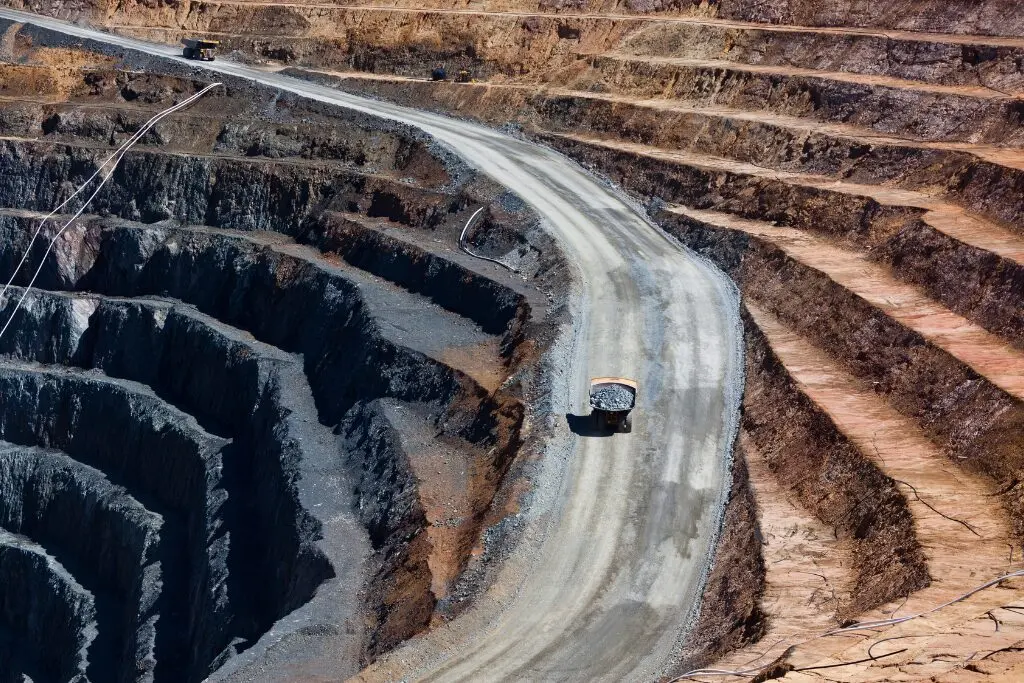
Tailored Training for a Major Mining Company
When a major resource company approached NGIS for training, they already had a clear picture of the skills their team wanted to strengthen. This set the foundation for a collaborative and customised training experience.

Improving Public Health Insights with GIS Training at Queensland Health
Partnering with NGIS, HPRB set out to close skill gaps, efficiently utilise existing investment in technology, and support its workforce in visualising, analysing, and sharing public health information and data more effectively.

Customising Geospatial Training for NRM South
When NRM South were looking to enhance their team’s ability to use GIS in environmental project delivery, they turned to NGIS for a flexible and practical learning solution. Together, we developed a tailored training program that aligned with their goals and reflected their diverse skill levels.
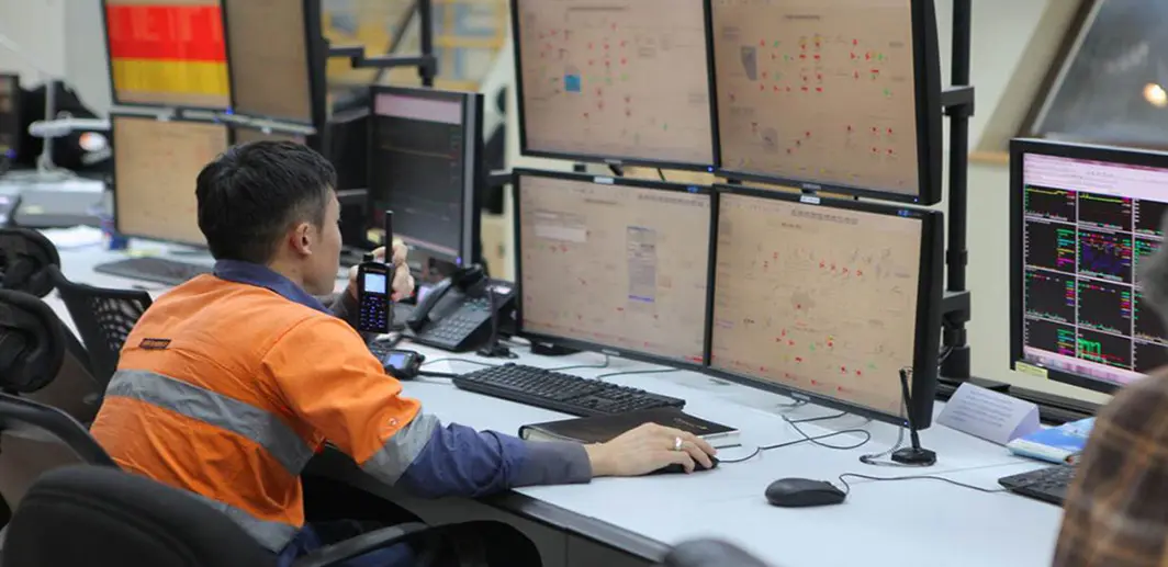
Rio Tinto – GIS Capacity Building
NGIS Australia worked in close collaboration with Rio Tinto Iron Ore to design a GIS training program that would enable the effective use of Esri technology across the business.
Meet our Training Team

Abby Boulter
Manager of Training – Combining over 10 years of urban planning experience with 5 years in satellite imagery customer success, Abby leads NGIS’s training program with a focus on making GIS accessible and practical. Her diverse background enables her to develop training programs that effectively bridge technical knowledge with real-world applications.

Marcel Maron
Lead Trainer – A geospatial industry veteran with over 20 years of experience, Marcel leads NGIS’s training program, delivering courses in ArcGIS and QGIS. His extensive background in environmental and resource sector GIS, combined with his dual degrees in Cartography and GIS, enables him to bring real-world applications into the training environment.

Yvonne Fong
Senior GIS Consultant – Yvonne is a geospatial consultant specialising in spatial analysis, workflow automation, and GIS training across the Esri stack, FME, and Google Earth Engine. Holding a Master of Environmental Science from UWA, she brings deep experience delivering solutions across resources, land administration, construction, and agriculture.
Frequently Asked Questions
We’ve gathered the most frequently asked questions about our training programs to help you find the information you need. If you have any questions that aren’t covered here, please don’t hesitate to reach out to us at training@ngis.com.au – we’re always happy to help.
CONTACT US
Unlock Your GIS Potential
Fill out the form to start a conversation with our team of experts.