GIS Training
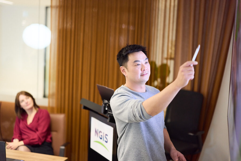
Renowned for our excellence in both public and private training delivery, NGIS has built an exceptional reputation as a quality training provider.
Empowering You with Real-World GIS Expertise
NGIS is an independent training provider offering a comprehensive suite of GIS training courses designed to increase the capabilities of geospatial professionals at every level.
Our hands-on courses cover essential GIS skills, from foundational knowledge to advanced techniques, tailored to industries such as utilities, resources, natural resource management, environment and health. Whether you’re seeking to improve efficiency, or upskill, our training ensures you’re fully equipped.
We specialise in public courses and curating private geospatial training programs tailored to fit organisational needs.
Organisations Trained
Training Participants
Experienced Trainers
Dedicated Learning Facilities
Why NGIS Training?
- Practical, Industry-Relevant Skills: Learn from professionals working on live projects.
- Relatable Examples: Specifically developed courses using Australian data and use cases.
- Independent: Licensed or open source, we provide training for multiple software types.
- Tailored Training: Option to customise courses to meet your team’s specific needs and goals.
- Post-training Support Packages: Our trainers remain on hand to help you embed new skills and techniques well after the course ends.
- Real-World Application: Gain the confidence to apply your skills immediately in your role.
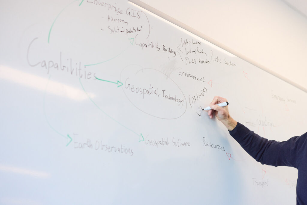
Your Learning Journey
At NGIS, we believe in continuous learning whether you’re just starting out or looking to uncover new tools and techniques.
Our structured learning journeys guide you from beginner to advanced expertise, ensuring every step builds on your previous knowledge and expands your capabilities.
The NGIS QGIS Advanced course was an insightful and fun training workshop that I would recommend to anyone looking to elevate their QGIS skills or dive into the geospatial world. It’s given me a boost of confidence and a fresh perspective on the power of spatial data.
Sabrina Ginting, Biologic

Private training
Private Geospatial Training
We specialise in group training, providing tailored learning journeys and bespoke training solutions for organisations seeking to build internal capacity especially during times of technological change. Our training offerings can be customised to your team’s specific challenges, ensuring that your workforce is equipped with the skills needed for your key processes and unique workflows.
Client Success Stories: Impact in Action
See how our customised training programs have transformed organisations across industries. Our collaborative approach has helped industry leaders like Rio Tinto and Queensland Health build robust GIS capabilities, enhance workflow efficiency, and drive technological innovation across their teams. Explore these success stories to learn how we can help your organization achieve similar results.
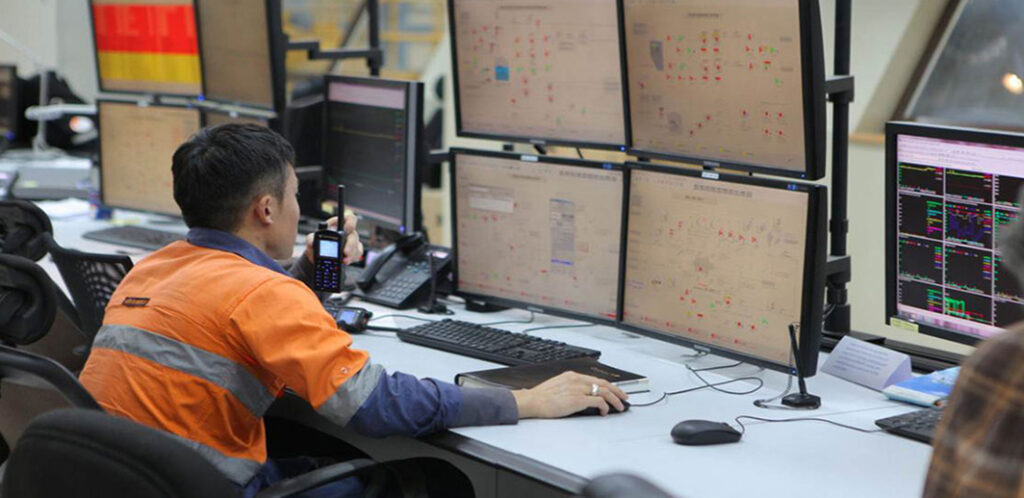
Rio Tinto – GIS Capacity Building
NGIS Australia worked in close collaboration with Rio Tinto Iron Ore to design a GIS training program that would enable the effective use of Esri technology across the business.

Improving Public Health Insights with GIS Training at Queensland Health
Partnering with NGIS, HPRB set out to close skill gaps, efficiently utilise existing investment in technology, and support its workforce in visualising, analysing, and sharing public health information and data more effectively.
Meet our Training Team

Abby Boulter
Manager of Training – Combining over 10 years of urban planning experience with 5 years in satellite imagery customer success, Abby leads NGIS’s training program with a focus on making GIS accessible and practical. Her diverse background enables her to develop training programs that effectively bridge technical knowledge with real-world applications.

Marcel Maron
Lead Trainer – A geospatial industry veteran with over 20 years of experience, Marcel leads NGIS’s training program delivering courses in ArcGIS and QGIS. His extensive background in environmental and resource sector GIS, combined with his dual degrees in Cartography and GIS, enables him to bring real-world applications into the training environment.

Alison Blackstock
Principal GIS Consultant – A geospatial industry veteran with 20 years of experience across Australia and Canada, Alison specialises in environmental resource management, infrastructure, and utilities solutions. Her expertise in spatial analysis and visualisation, combined with her dual degrees, enables her to effectively bridge technical GIS capabilities with practical business applications.
Frequently Asked Questions
We’ve gathered the most frequently asked questions about our training programs to help you find the information you need. If you have any questions that aren’t covered here, please don’t hesitate to reach out to us at training@ngis.com.au – we’re always happy to help.
CONTACT US
Unlock Your GIS Potential
Fill out the form to start a conversation with our team of experts.


