Women in GIS at NGIS

International Women’s Day
Hear inspiring stories from four GIS ladies at NGIS.
Celebrating International Women’s Day 2025
In 2024, the number of women enrolling in university STEM Courses and working in STEM have increased. However, women still make up only 37% of university STEM enrolments and represent just 15% of the STEM workforce.1
The geospatial industry has long been male-dominated, but women are making strides and shaping its future. At NGIS, women make up almost 43% of our team, demonstrating our commitment to diversity and inclusion. We are proud to celebrate the talented women at NGIS who are pushing boundaries, driving innovation, and inspiring the next generation.
Department of Industry Science and Resources (2024) The state of STEM Gender Equality in 2024, Department of Industry Science and Resources. Available at: https://www.industry.gov.au/news/state-stem-gender-equity-2024. (Accessed: 26 February 2025)
Ahead of International Women’s Day, we spoke to four remarkable women in GIS about their journeys, challenges, and advice for those looking to enter the field. Here’s what they had to say:

Shirui Hao
Geospatial Scientist
Can you tell us about your role at NGIS and what a typical day looks like for you? At NGIS, I work as a geospatial data scientist, applying advanced data science techniques to geospatial challenges. A typical day involves developing large-scale remote sensing solutions and pipelines using Google Earth Engine (GEE) and Google Cloud Platform (GCP). I work closely with GIS consultants, developers, and domain experts to design innovative solutions for clients.
What inspired you to pursue a career in GIS, and how did you get into this field? My passion for GIS started during my environmental engineering studies, where I saw the power of remote sensing in tackling real-world environmental issues. I became particularly interested in how geospatial data can be used to monitor ecosystems, predict agricultural trends, and support sustainable decision-making. This curiosity led me to explore remote sensing and GIS further, eventually shaping my academic and career path.
What’s the most rewarding part of your job? Seeing how geospatial technology can drive real-world impact. Whether it’s improving agricultural insights, enabling better environmental monitoring, or helping businesses make data-driven decisions, knowing that my work contributes to meaningful solutions is incredibly fulfilling.
Have you faced any challenges as a woman in the field? Being a woman in a male-dominated industry comes with challenges, such as the need to establish credibility in technical discussions. However, I’ve found that demonstrating expertise, confidence, and continuous learning has helped me overcome these barriers. Supportive networks and mentors have also played a crucial role in navigating these challenges.
What advice would you give to young women interested in a career in GIS? Don’t be afraid to dive into technical challenges and embrace continuous learning. GIS is an exciting and evolving field that intersects with AI, data science, and cloud computing. Build a strong foundation in programming, remote sensing, and machine learning, and seek out mentors who can guide you. Most importantly, believe in your abilities and don’t let stereotypes define your potential.
What’s one piece of advice you wish you had received earlier in your career? I wish someone had told me that it’s okay not to have all the answers right away. The tech industry moves fast, and learning on the go is part of the process. Instead of feeling overwhelmed, focus on problem-solving, continuous learning, and building a strong professional network.
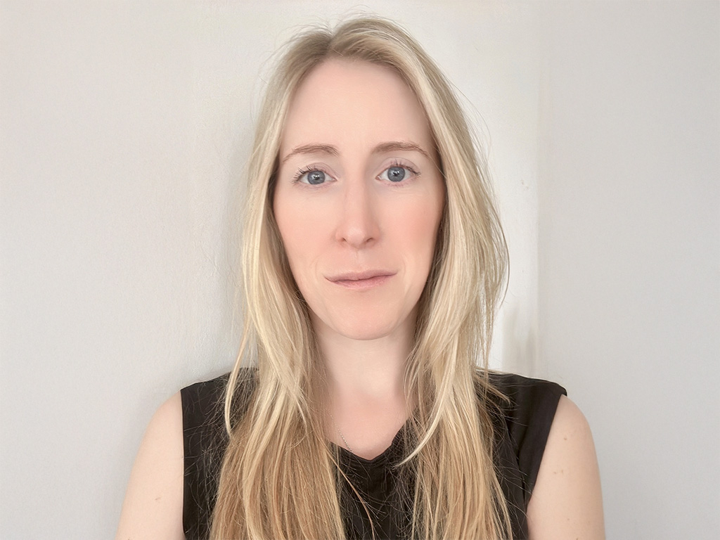
Terri Freemantle
Senior Earth Observation & Geospatial Consultant
Can you tell us about your role at NGIS and what a typical day looks like for you? My role is incredibly dynamic. Some days, I focus on business development and project proposals, while other days, I’m involved in technical work in remote sensing and GIS. I also manage statewide imagery agreements for QLD and NSW Governments, working closely with our partners at Planet. In addition, I run training webinars and speak at conferences when the opportunity arises.
What inspired you to pursue a career in GIS? Growing up, I loved nature, photography, and maps. Initially, I wanted to be a photographer, but during my university studies in environmental geography, I discovered remote sensing. It was a defining moment, I realised I could combine all three passions by using satellite imagery to monitor the Earth.
Did you always know you wanted to work in GIS, or was it something you discovered later? I discovered it later, once I completed my BSc in Environmental Geography, I completed an MSc in Remote Sensing. From there I completed an internship with the Institute of Zoology, at the Zoological Society of London, conducting research into species habitat suitability to reintroduce the Scimitar-horned Oryx in Chad. It was a fantastic opportunity to combine GIS and remote sensing techniques with a real-world application in zoological conservation – the Oryx have since been reintroduced into Chad. Since then, I’ve also worked in humanitarian response, helping UN Aid agencies, NGOs and the UK Government with remote sensing and geospatial data and solutions to monitor and assist in conflict situations in Ethiopia and Yemen – this work directly helped people in need, which is incredibly rewarding.
Have you had any mentors or role models who influenced your journey? David Attenborough and his work in nature broadcasting had a huge influence on my desire to work in a field that made a positive impact on the natural world. Closer to home, I had a very supportive MSc supervisor at UCL, Professor Jan-Peter Muller, who supported me and taught me a lot about how you can become successful in the field. I’ve been fortunate enough to have built an international network in Earth observation, this network of people has been fantastic at supporting me and providing career advice when needed. I’ve previously worked with mentors, Denise McKenzie and Kate Fairlie who have been fantastic at helping me build my confidence.
Have you faced challenges as a woman in this field? Yes, I have encountered a few challenges. However, I have worked to ensure better representation of women in GIS. I’ve also been involved in STEM outreach, encouraging young women to pursue careers in geospatial technology. While there’s still progress to be made, I’ve seen vast improvements in recent years.
What’s the most rewarding part of your job? Working with fantastic people on projects that have a positive impact, supporting data-driven decision-making, for a company that is incredibly supportive of its employees.
What advice would you give to young women interested in GIS? Gain work experience early, whether through internships or industry collaborations in university projects. Learn to be comfortable with public speaking and seek out mentors-Women in Geospatial is a fantastic network offering mentorship programs. Most importantly, build your professional network; the geospatial community is full of like-minded, supportive individuals.

Nina Westenraad
GIS Analyst
Did you always know you wanted to work in GIS, or was it something you discovered later? Even though I always had an interest in maps and geography, it wasn’t until 2019 that I seriously considered GIS as a career. I made a late decision to change my degree to Environmental Science and Data Science, which turned out to be one of the best choices I’ve made. I took every opportunity to enroll in spatial courses and quickly realised how much I loved working with spatial data and analytics.
Have you had any mentors or role models who influenced your journey? Absolutely! Alex Geer has been an incredible mentor, always encouraging me and helping me grow. I’ve also learned a lot from my colleagues at NGIS—everyone is always happy to share their knowledge, and it makes for a great learning environment.
What’s the most rewarding part of your job? I love solving problems with messy data and turning it into something useful. It’s also really rewarding to work at a company like NGIS, where a lot of our projects focus on sustainability and environmental work. It feels good knowing my work has a positive impact.
What advice would you give to young women interested in a career in GIS? Reach out to people in the industry! The GIS community is super welcoming, and there are so many opportunities to learn and connect. GIS has applications in almost every field- whether you’re into the environment, cities, disaster response, or something else, there’s a place for you.
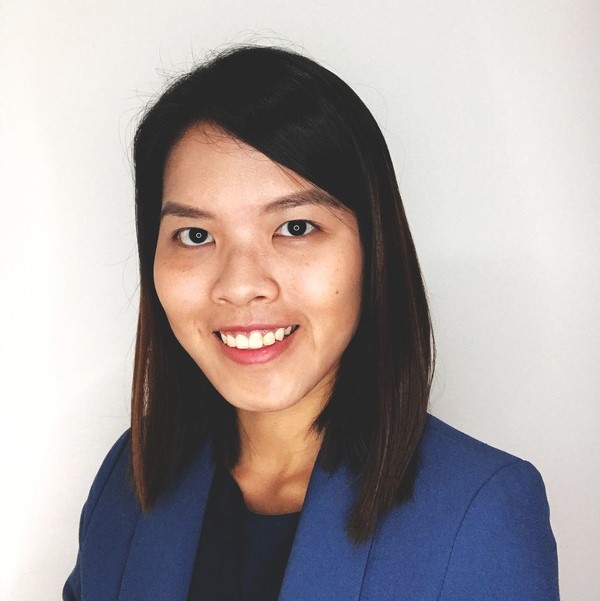
Yvonne Fong
Senior GIS Consultant
Can you tell us about your role at NGIS and what a typical day looks like for you? I am one of several GIS Consultants at NGIS, and a typical day might include meetings with clients, cleaning and organising data, running spatial analyses, developing scripts or tools to automate tasks and streamline data processing workflows, reviewing project timelines, or writing technical reports. Each day can vary considerably depending on the project I’m working on and what is required.
What inspired you to pursue a career in GIS, and how did you get into this field? I picked GIS as one of my specialisations going into my postgraduate studies just thinking it would just be a useful skill to have, after a brief introduction to it during my undergraduate years. But as I explored it further, I discovered I really enjoyed and had an aptitude for it, so I looked for a GIS job after graduating and landed at NGIS.
Have you had any mentors or role models who influenced your journey? My mum! She spent 50 years working in STEM before retiring, and I would say right from the start she had a major influence on my interest in STEM subjects. She was also always supportive of my interests and encouraged me to chase after whatever they were.
Have you faced any challenges as a woman in this field? I have been lucky to be surrounded by supportive colleagues and clients. Although the industry is still male-dominated, I am finding a lot of acceptance and inclusivity which is very encouraging. It can still be a little intimidating when I find myself in a meeting surrounded by men and I occasionally worry about being underestimated or not taken seriously, but once these meetings start I quickly realise my concerns are unfounded.
What’s the most rewarding part of your job? Getting to work on a variety of projects with different clients is one thing I really enjoy about the job as I get to work with different technologies, exercise different skillsets and also interact and learn from different people in various industries. I can’t pinpoint a single most rewarding part, but the top contenders are 1) when the data is clean and organised, 2) when a script runs without errors and gives the desired output, and 3) when receiving positive feedback from clients.
What advice would you give to young women interested in a career in GIS? Ask questions, be curious, be proactive. GIS technologies are constantly evolving, so it is important to stay up to date. Networking is also important, especially when you’re entering the industry, to let people know who you are and what you can offer. It’s a great way to meet and exchange ideas with people who have similar interests as well, so don’t be afraid to put yourself out there.
Breaking the Barriers in GIS
These incredible women highlight the importance of perseverance, confidence, and community in the geospatial industry. While challenges remain, progress is being made toward a more inclusive and diverse field where women are leading and shaping the future of GIS.
As we celebrate International Women’s Day, let’s continue breaking barriers, supporting women in STEM, and inspiring the next generation of geospatial professionals.
Related Articles
Here are more related articles you may be interested in.
How Satellite based Earth Observation Supports Emergency Response Teams
Natural disasters are an increasingly familiar reality, yet their unpredictability remains a core challenge. This is why preparedness is our best means of mitigating impact when disaster does occur. Satellite technology plays a critical role in enabling this readiness, but why? To understand this, you need only consider the sheer scale and diversity of Australia’s landscapes, waters and ecosystems. The continent spans 7.7 million square kilometres and, relative to its total area, has a low population density. This…United Nations, Google Cloud and NGIS Team Up to Bring AI-Powered Planning to Communities in Crisis
The United Nations International Organization for Migration (IOM), in partnership with Google Cloud and NGIS are advancing data-driven humanitarian planning through the use of AI and Geospatial powered tools, helping humanitarian organisations to analyse the most vulnerable locations across multiple areas and proactively plan for disaster response, climate driven displacement, and long term community recovery. At the centre of the initiative is the…Celebrating Women in GIS: More than Maps
From tracking deforestation to building geospatial tools from the ground up, the women at NGIS are driving impactful real-world outcomes. This International Women’s Day, we spoke to three women across our Earth Observation, software engineering and spatial analysis solutions, to find out what first attracted them to GIS, what keeps them here, and what they’d tell their younger selves starting out.NGIS joins global space-based solutions provider CLS
Media Release | 27th January 2026 NGIS is excited to announce that the company will now be part of CLS (Collecte Localisation Satellites), a global leader in monitoring and surveillance solutions for our Earth. The acquisition marks a significant milestone for the Australian geospatial sector, bringing together NGIS’ world-class geospatial expertise with CLS Group’s expansive reach and innovative capabilities in space-based solutions. Beyond technology and commercial…


