Uncategorized

Discover more about the impactful work we do globally.

    Building an Indigenous digital cultural recording

    Building an Indigenous digital cultural recording

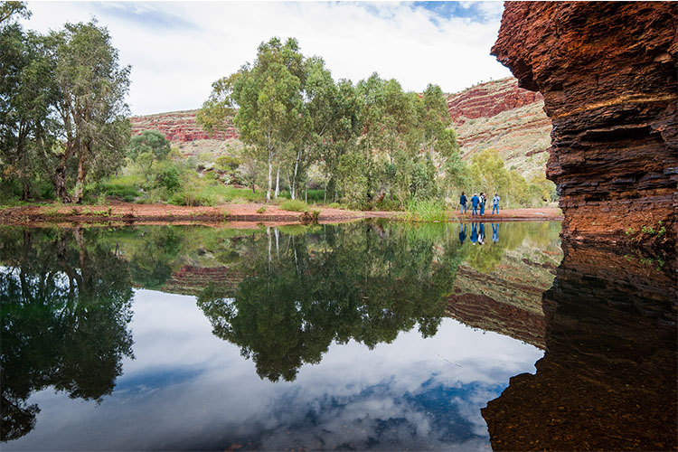
    A digital cultural recording is the use of mapping technology and other digital technology recorders, such as video and audio clippings, to document and map the cultural knowledge in the minds of Indigenous Elders. These recordings are crucial as (a lot of the time) Elders can sometimes be too sick to go out on country

    Read article

    How the world has embraced spatial technology during the pandemic

    How the world has embraced spatial technology during the pandemic

    As COVID-19 has spread throughout the world, you may have noticed that you’ve been looking at maps more frequently. You probably see these maps during news bulletins, on social media or on official government websites. Most likely, they are communicating levels of infection, recovery rates or death rates. But beyond the morbid statistics, the science

    Read article

    The Power of GDAL

    The Power of GDAL

    The role of a remote sensing scientist is primarily to capture and extract useful information from spatial data. Taking spatial data and extracting useful, actionable information is an on-going challenge. There are a wide range of commercial software packages to assist in this task that are dedicated to analysing spatial data. However, out-of-box solutions for

    Read article

    GDA2020 explained for non-GIS people

    GDA2020 explained for non-GIS people

    If geospatial data and systems are deeply embedded into your work operations, you might have heard “GDA2020” muttered around hallways over the past year. That’s because it’s a bit of a big deal.  In late 2017, GDA2020 (Geocentric Datum of Australia 2020) was gazetted as Australia’s official datum – and the existing datum, GDA94, was

    Read article

    Positioning Australia for the future

    Positioning Australia for the future

    In 2018, the Australian Commonwealth Government committed AUD $224.9m to the Positioning Australia program to provide 10 centimetre accurate and reliable positioning to all Australians, as well as accelerate the adoption and development of positioning technology and applications. This is a significant improvement from the 5-10 metre accuracy you can currently achieve using consumer positioning devices.  The

    Read article

    Using open spatial data: key things to consider

    Using open spatial data: key things to consider

    Spatial data can be expensive and time consuming for your team to capture, clean and ingest into geospatial software. However, open spatial data (OSD) is fostering innovation through free and unrestricted access to geospatial data collected by a community of geospatial analysts.  These days, businesses commonly supplement their own business information with OSD to help

    Read article

    Subscribe to the #GeotechFriday newsletter

    Subscribe to the #GeotechFriday newsletter

    If you want to keep up-to-date with exciting new developments and technologies in the geospatial industry, then you’re in luck. NGIS has a team of GIS analysts and developers that are working with an array of technology stacks. NGIS has released #GeotechFriday, the fortnightly blog written by and dedicated to the people who are working every

    Read article

    What Cloud data warehouse is best for geospatial processing?

    What Cloud data warehouse is best for geospatial processing?

    Spatial science teams need a data warehouse that can support the sheer volume of geospatial data they have to process. There are now a number of Cloud data warehouse options available in the market and this has created a new challenge for organisations; how does a GIS team decide which data warehouse will meet the

    Read article

    How to stream GIS data into online virtual reality

    How to stream GIS data into online virtual reality

    Building a Virtual Reality (VR) environment using spatial data was a task previously reserved for developers with a strong understanding of Geographic Information System (GIS) data and gaming engines, which – as you can guess – was a niche area of expertise. However, Skyline’s TerraExplorer 7.2 release is the first GIS platform to make streaming

    Read article

    The benefits of staying QGIS savvy

    The benefits of staying QGIS savvy

    QGIS has been revolutionising the availability and usability of geographic information systems (GIS) for professionals and amateurs alike. Its ability to do almost anything spatial – from creating maps and performing spatial operations to analysing geospatial data has made it the most used desktop GIS application in the open-source space.  With more features and plugins

    Read article