Sustainability is more than being ‘green’

Sustainability is more than being ‘green’

Throughout my career, I have been a part of more changes to the ICT industry than I could count. Among the most recent, a demand for sustainable supply chain solutions to ensure that companies are getting it right when it comes to doing business ethically. What people might not realise is that we have all…

Read article

New report shows iconic Australian beaches could be washed away

New report shows iconic Australian beaches could be washed away

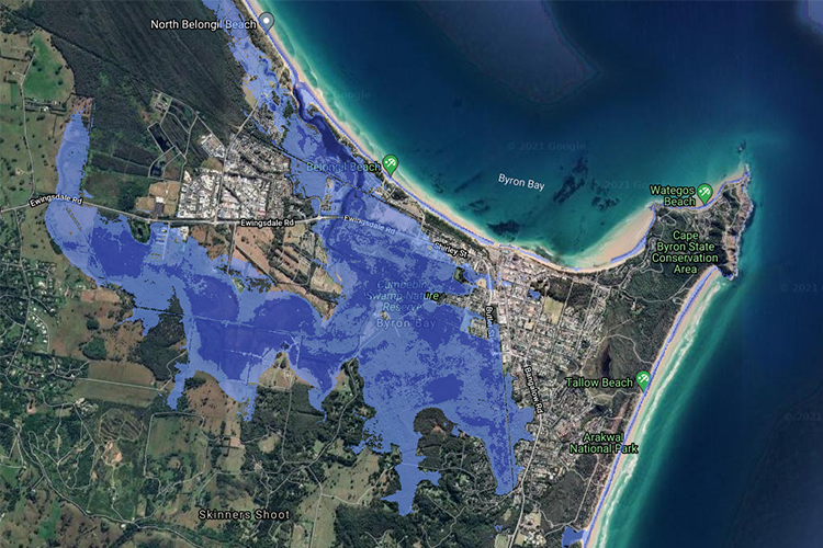
Without immediate climate action, Australia’s pristine coastline, iconic beaches and tourism hotspots could be washed away. Coastal Risk Australia illustrates the severity of rising seas based on the latest scientific modelling, via an interactive web map that allows the public to search how rising sea levels may encroach on their community. The website, developed in partnership…

Read article

A sustainable CPG future with cloud geospatial

A sustainable CPG future with cloud geospatial

Nathan Eaton, Executive Director at NGIS, featured at CARTO’s Spatial Data Science in CPG & Retail Summit on May 19th this year. Together with Jeff Sternberg—Technical Director of Applied AI at Google—the pair discussed how NGIS and Google have partnered with CARTO to explore the CPG (consumer packaged goods) and retail industries with a focus on geospatial analytics…

Read article

SSSI Map-a-thon attendees map areas destroyed by Cyclone Gaja

SSSI Map-a-thon attendees map areas destroyed by Cyclone Gaja

The second SSSI WA Map-a-thon, sponsored by NGIS, saw SSSI members using their mapping knowledge and skills for good. The participants digitised features such as roads and infrastructure in countries experiencing humanitarian crises, that have not been mapped before. Mappers focused their efforts on the southern part of India which is recovering from the destruction…

Read article

UNWGIC convenes to address global challenges

UNWGIC convenes to address global challenges

NGIS’ Director of Services Nathan Eaton went to China in November to discuss the global challenges that GIS can help address. The inaugural United Nations World Geospatial Information Congress (UNWGIC) held in Deqing, China, was a landmark event for the international geospatial community to discuss and address significant global challenges. Participants of the event included…

Read article

Coastal Risk Australia shows worsening sea-level changes

Coastal Risk Australia shows worsening sea-level changes

NGIS Australia have updated Coastal Risk Australia, to show the worsening effects of coastal flooding driven by climate change. This years’ National Oceanic and Atmospheric Administration (NOAA) reported in the US revealed an increase in sea levels by 2.7 metres by 2100, following on a high- emissions path. This was initially considered a worst case scenario…

Read article

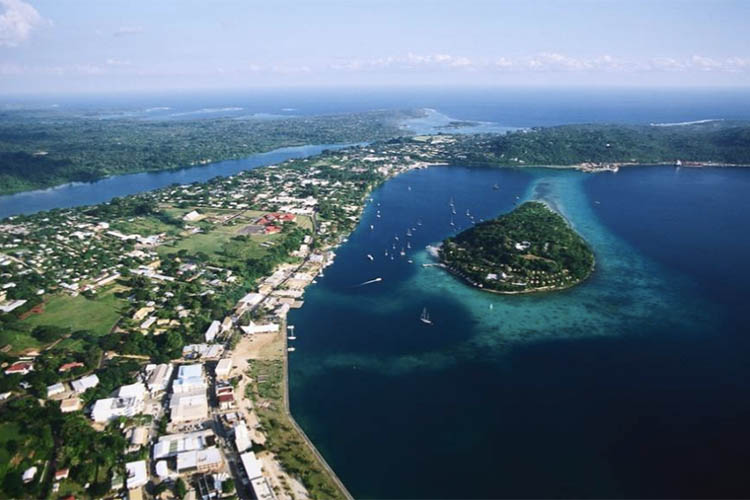
Aussies help neighbours most at risk from rising seas

Aussies help neighbours most at risk from rising seas

For the first time, Pacific Islanders living in Vanuatu can visualise how their homes, neighbourhoods – and even popular Australian tourist spots – will be inundated by rising sea levels driven by climate change. The Coastal Risk Vanuatu website, created in Australia and launched globally today, charts low-lying coastline of a number of Vanuatu islands…

Read article

Data-driven approach helping with forestry management

Data-driven approach helping with forestry management

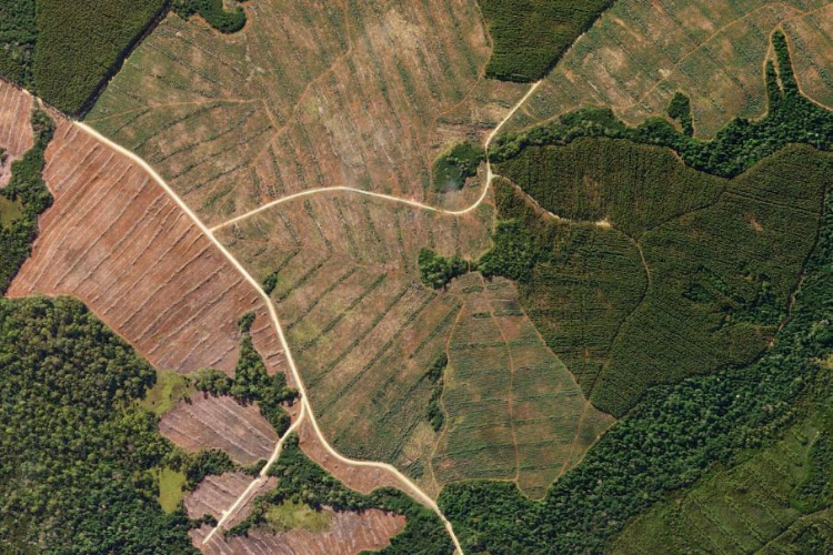
Remote sensing and the increasing use of UAVs are making the management of forestry more accurate than it has ever been. Rapid progress in data capture sensors and techniques in forestry means a massive expansion in the data available to the industry. The opportunity currently presented to the forestry industry is to make this data…

Read article

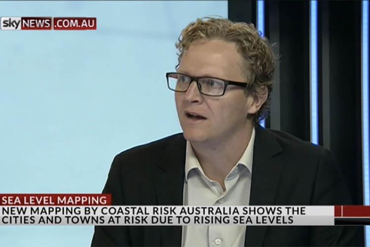
Aussie cities, towns at risk from rising sea levels

Aussie cities, towns at risk from rising sea levels

World-first website empowers coastal communities to take action For the first time Australians can visualise how their homes, neighbourhoods and favourite coastal spots could be vulnerable to rising sea levels driven by climate change. The Coastal Risk Australia website, made available to the public today, charts the majority of Australia’s enormous coastline and is free…

Read article

NGIS and CRCSI presenting at Climate Change Conference

NGIS and CRCSI presenting at Climate Change Conference

Nathan Quadros from CRCSI and Nathan Eaton from NGIS Australia demonstrate at the Paris Climate Change Conference how familiar technologies and high quality fundamental data sets can help people model sea level rise accurately, to allow future infrastructure and town planning.

Read article