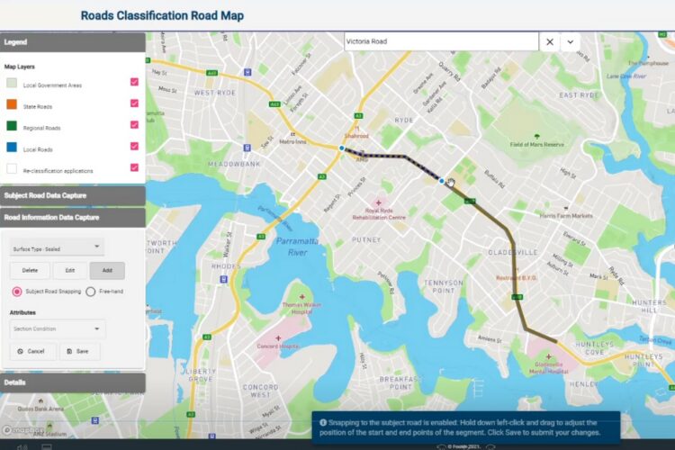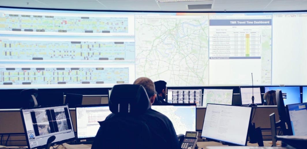
Live network congestion dashboard
A dashboard allowing them to monitor the road network and identify abnormalities.

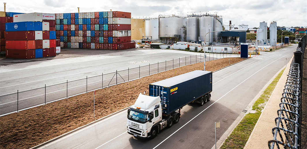
At NGIS, we aim to empower organisations and address global challenges through cutting-edge geospatial solutions.


Copyright © 2026 NGIS