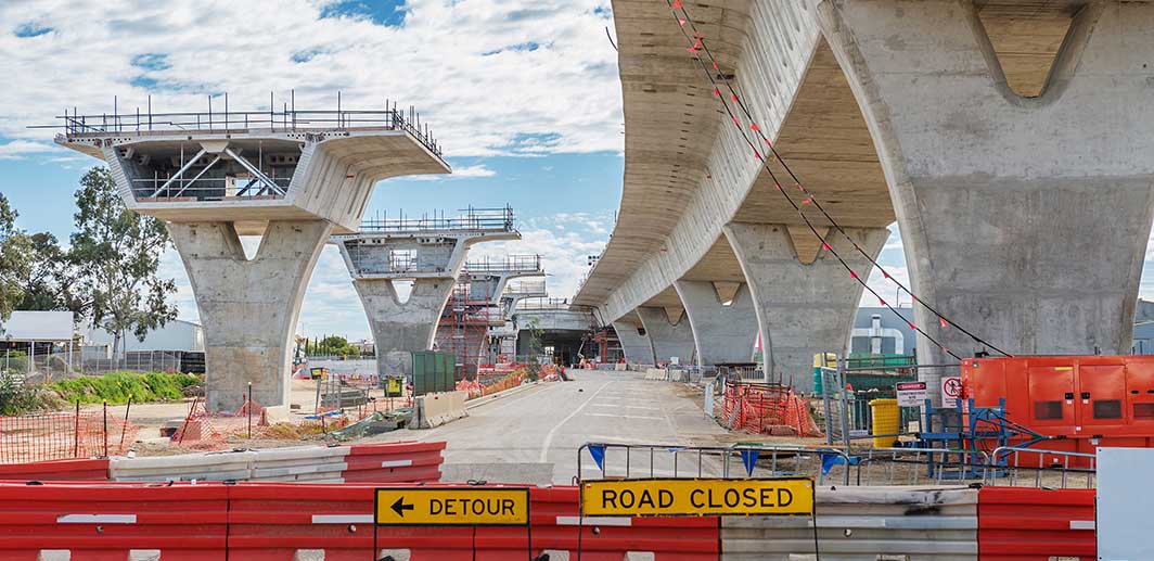
Event and road closure planning

Event and road closure planning

Using maps to communicate

Scaling to meet customer demand

Scaling to meet customer demand

A food delivery company experiencing rapid growth

Migrating cloud environments

Migrating cloud environments

Making location intelligence accessible to the freight industry

Travel time data platform

Travel time data platform

RMS engaged NGIS as Premier Partner of Google to help with procuring data under a unique commercial arrangement that would allow them to store and compare the data over years.

Multiteam geospatial enablement

Multiteam geospatial enablement

Metro Trains is Melbourne’s metropolitan rail service operating across 15 lines, 222 stations and transporting around 450,000 commuters daily.

How Adiona achieved a staggering 99% on time full delivery

How Adiona achieved a staggering 99% on time full delivery

In today’s fast-paced world, timely and efficient delivery services are crucial for businesses to thrive.

Variable message signs

Variable message signs

Live Travel Time prediction signs.

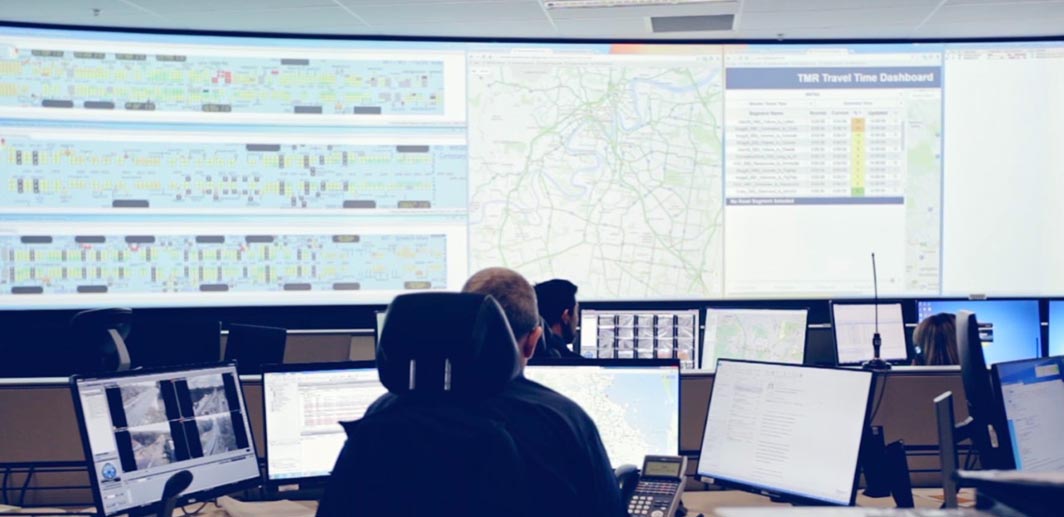
Live network congestion dashboard

Live network congestion dashboard

A dashboard allowing them to monitor the road network and identify abnormalities.

Mobile first mapping applications

Mobile first mapping applications

As Google Maps Engine was being depreciated NGIS recommended CART set up and migrate projects without having to build a bespoke solution.

Traffic incident response planning

Traffic incident response planning

Created a like-for-like digital version of the NSW RMS Incident Response Plan.