Developing a water monitoring system for the Murray-Darling Basin


Freshwater Monitoring
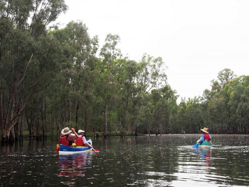
Freshwater resources are critical for sustaining ecosystems, agriculture, and communities. However, monitoring them effectively presents significant challenges, particularly across large and environmentally sensitive regions.
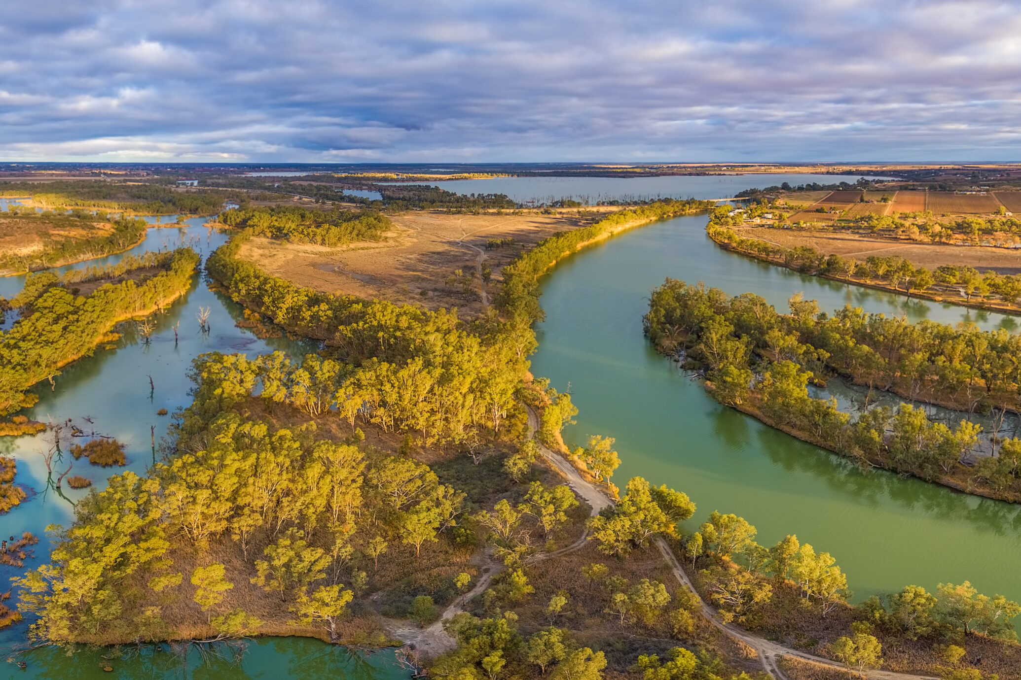
The Murray-Darling Basin, one of Australia’s largest and most complex river systems, faces growing pressures from climate change, fluctuating water levels, and competing demands for water use.
To support effective management, NGIS, in collaboration with the NSW Department of Climate Change, Energy, the Environment and Water (NSW DCCEEW) and with funding from the Australian Government’s Hydrometric Network and Remote Sensing program, part of the Enhanced Water Monitoring and Information Initiative, developed EOWater, a scalable and cost-effective tool for real-time water area monitoring.
Understanding the Murray-Darling Basin
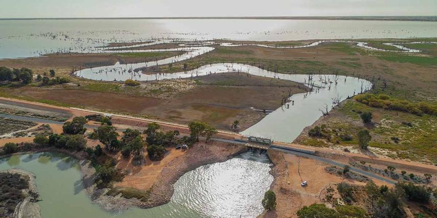
Covering over one million square kilometres, the Murray-Darling Basin is home to 2.4 million people and supports 16 internationally protected wetlands, 35 endangered species, and 120 species of native and migratory birds. It plays a crucial role in Australia’s economy, contributing $30 billion annually through agriculture and water-dependent industries.
The Murray-Darling Basin Authority (MDBA) is responsible for overseeing the sustainable use of this vital resource. Effective water management is essential not only for economic purposes but also for biodiversity conservation, Indigenous cultural heritage, flood mitigation, and water security for both urban and rural communities.
Add a Title
Add a Title
Add a Title
Add a Title
The Challenge
Monitoring water bodies across such a wide area is complex. Traditional methods of data collection are costly, time-consuming, and inconsistent. Additionally, existing satellite-based algorithms often lack the flexibility needed for localised waterbody analysis, making it difficult to track changes in response to seasonal variations, droughts, and extreme weather events.
Without accurate and timely insights, decision-makers face challenges in managing water allocation, environmental flows, and emergency response to drought and flooding. To address these gaps, there was a need for an automated, scalable, and reliable water monitoring solution.
The Solution: EOWater
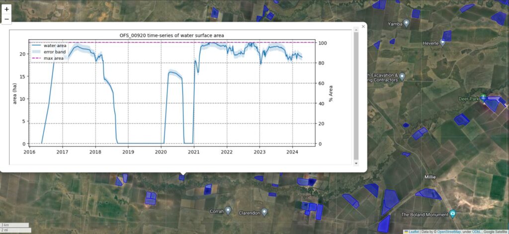 Example output map for NSW Northern Murray Darling Basin. This is a static screen-capture from an interactive Leaflet map, where a user can click on a polygon and display the time-series of water surface area inside that polygon
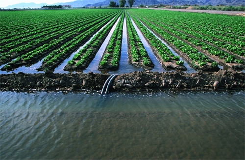
 Satellite image of agricultural fields with overlaid coloured masks representing on-farm water storages
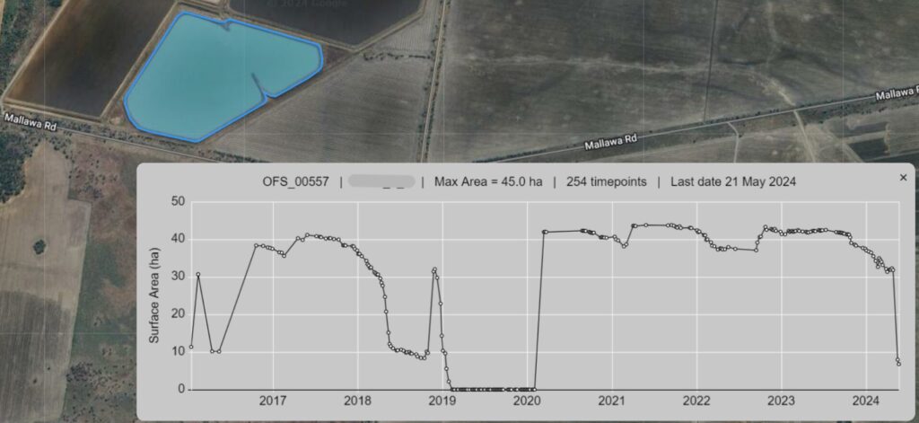 Example output showing time series changes in the surface area of an on-farm water storage. Users can access specific details, such as maximum area, data points, and update dates, by clicking on the storage polygon in the interactive map.


NGIS, in collaboration with NSW DCCEEW, developed EOWater, a Google Earth Engine (GEE)-based toolkit that enables large-scale monitoring of water surface areas. Designed as a low-cost, automated solution, EOWater provides real-time, high-resolution insights that help government agencies and water managers make informed decisions.
Using satellite imagery, EOWater analyses decades of water surface data to detect and map water bodies accurately. Unlike traditional monitoring methods, which rely on resource-intensive vector-based analysis, EOWater employs a pixel-based approach, ensuring:
- Faster processing – 38 years of data processed in just one hour
- Scalability – Can be applied across entire river systems or specific water bodies
- Automated updates – Weekly monitoring via Google Cloud Platform
- Customisable analysis – Tailored thresholds and parameters for different regions
“NGIS has been great help in our journey to automate water monitoring using Earth observation satellite data in northern valleys of NSW.”
EOWater has transformed how water resources are monitored in the Murray-Darling Basin, offering a scalable, cost-effective, and transparent solution for tracking water changes over time. By providing automated, near real-time insights, the tool supports better planning, equitable resource distribution, and long-term water sustainability.
EOWater is now open-source on Earth Observation Water Toolkit | Dataset | SEED and GitHub.


Latest Updates with NGIS
News and Events
Read the latest news from NGIS.


