Custom mapping tool for CRM
Integrating systems to create a seamless user experience
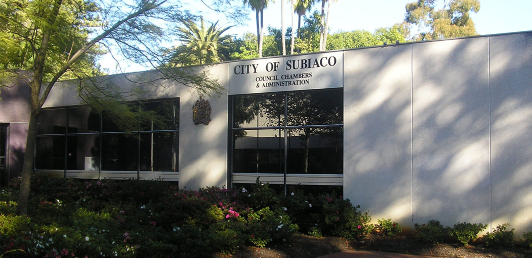
City of Subiaco, located in Perth’s western suburbs, is a council that leads a community-focused agenda and advocates for strong leadership and innovation to build a unique and welcoming place.
The City is committed to making their current systems and processes as efficient as possible for its residents and in mid-2019, they decided that their current Customer Relationship Management (CRM) system required a more user-friendly mapping integration element to help members of their community log their service requests online and subsequently minimise council response and action times.
Collecting more location-specific details from residents
The City committed to building a mapping tool that utilised their current CRM system and GIS data so that residents were able to see their property and explain their request with a location context.
“Previously, users were filling out forms to log a prune tree request on their verge that needed attention and when we sent contractors to do the work, there might’ve been three trees on the street front and they didn’t know which one to tend to,” said Paul Moll, Manager of Information Services at City of Subiaco.
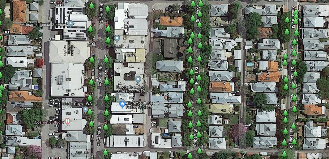
The map needed to be easy to use, show all of the street trees in the City of Subiaco area, display information about the tree and allow the user to indicate which specific tree on the street needed tending to.

“Due to functionality our current GIS can be challenging for our residents, that’s why we decided on integrating google maps, everyone knows it and we knew it would be easy to use”
Paul Moll, Manager of Information services, City of Subiaco
Google maps customised to meet council and community needs
The City of Subiaco initially engaged Liveli as a Google Maps Premier Partner to build the customised Google Maps tool. Liveli and its technology partner, NGIS Australia, ran a scoping workshop with City of Subiaco to understand their needs and systems and built a Google Maps tool that is now embedded in the council and community CRM.
Residents can now log a maintenance request on the map in the CRM and select the specific tree that needs pruning. The map displays the boundaries of the City of Subiaco and incorporates all of the City’s GIS data layers, such as where all of their trees are located and information about the tree species.
“Sometimes people wanted to know simple information, like what tree is outside their property. At one point in time, it would have taken a few days to receive a response, but now they can get an answer immediately by simply clicking the tree on the map,” said Paul.

A mapping tool built to scale
From customer-facing perspective the map is still in its infancy, however, Paul Moll says that the overall benefit for the City of Subiaco is that they have the power to evolve the map functionality as and when it’s needed.
Because Liveli and NGIS Australia built the customised Google Maps tool for scale, the council now has the ability to replicate the map and add supplementary layers of information to make community living and council liaison easier than ever before.
“Brendan built a modular tool with specific parameters and provided us with all the documentation we need to customise the Google Maps integration further. Our next step is to integrate street light information, and after that – anything we have that has a location-based element,” said Paul.

