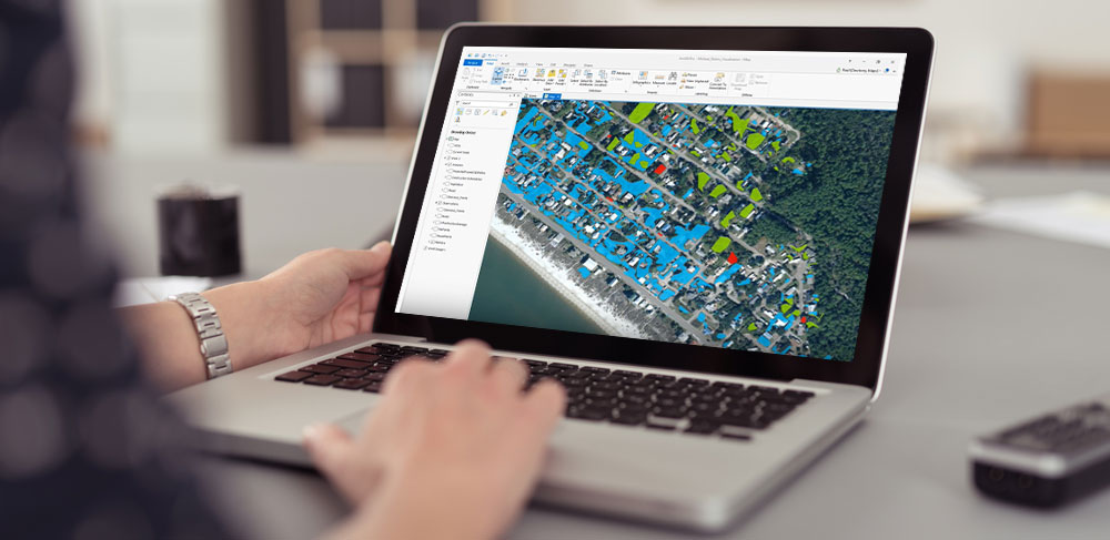
Advanced Geospatial Analysis Tools
TerraExplorer provides comprehensive analytical capabilities including 3D viewshed analysis, elevation profiles, cross-section tools, and precise distance, area and height measurements. Drawing and annotation tools enhance model documentation, whilst shadow analysis across any timespan studies light exposure patterns. From urban planning to defence applications, TerraExplorer transforms point cloud data into actionable insights.
High-Resolution Asset Inspection
Skyline’s partnership with Phase One enables detailed virtual surveying and inspection. This cellular tower model, captured using the Phase One P3 with iXM-GS180 global shutter camera, achieves 0.3mm per pixel resolution. When combined with TerraExplorer’s PhotoInspector tool, users can conduct remote inspections with exceptional accuracy, eliminating the need for costly site visits.
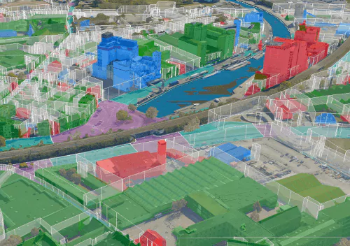
Interactive Urban Planning Solutions
TerraExplorer Fusion transforms 3D city models into powerful planning tools. Visualise zoning and infrastructure plans, integrate CAD/BIM models for design alternatives, analyse terrain and shadows, and measure directly in your browser. This photo-realistic environment at 2.5 cm per pixel resolution supports smarter urban development decisions, from planning new districts to assessing environmental impacts.

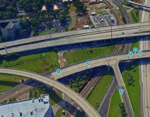
Precision 3D City Modelling
Urban planners and engineers require highly accurate 3D models for large-scale mapping and infrastructure inspection. Skyline’s PhotoMesh, combined with Phase One’s PAS 880 Aerial Camera System, delivers exceptional 3D mesh models at 1.5 cm per pixel resolution. Processing native Phase One IIQ images, PhotoMesh generates engineering-grade models and ultra-high-resolution true orthophotos, enabling faster, more scalable urban mapping for infrastructure planning and disaster response management.
Products

Photo Mesh
3D reconstructiuon that transforms photos into quality, 2D and 3D geospatial data.

SkylineGlobe Server
Securely store and access 3D geospatial data where, when, and how you need it
TerraExplorer
Create, view, analyse & share high resolution 3D geospatial data.
Sectors
Public Sector
Skyline empowers cities and governments with digital twin solutions for smart planning and infrastructure management. The platform brings together multiple data sources to create visual city models, supporting everything from utility networks and traffic patterns to flood risk and property assessment.
Resources
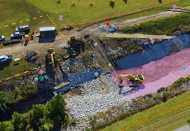
Skyline’s solution enhances safety and efficiency across mining, oil and gas operations through real-time visualisation of operational data. The platform provides access to above and below-ground information for exploration, whilst modelling tools enable accurate visualisation of extraction sites and design options.
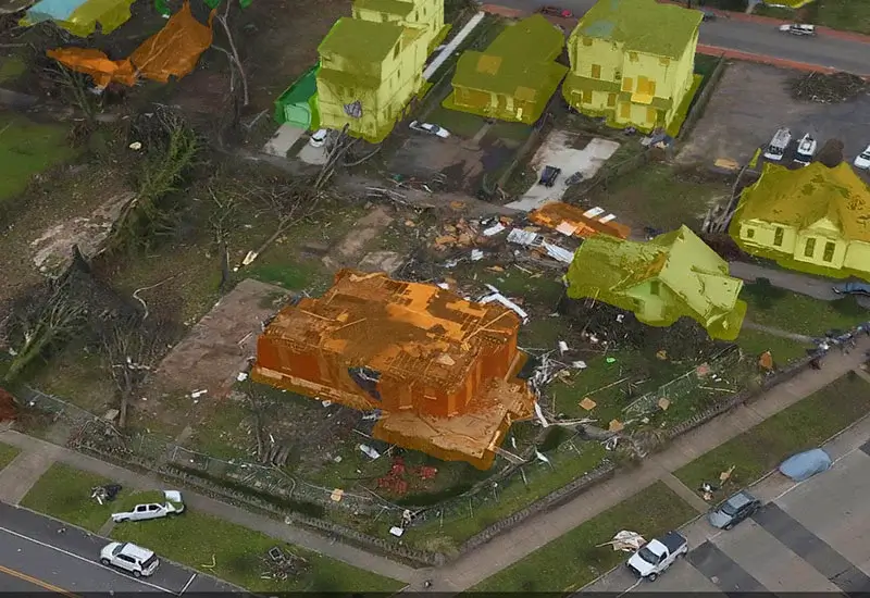
Defence
Skyline delivers mission-critical visualisation tools for defence operations. The platform supports mission planning through terrain analysis and sight-line assessments, whilst providing real-time updates on asset locations and operational intelligence.
Drones
Skyline’s PhotoMesh software transforms drone photography into detailed 3D models, eliminating the need for manual site inspections. The fully automated system converts images into high-resolution mesh models with sub-millimetre accuracy in just 1-2 hours for typical collections.
Professional services
Partner with NGIS
For over 30 years, NGIS has been an independent and innovative leader in geospatial solutions, delivering measurable impact for clients around the globe.
Since 1993, as a 100% Australian-owned company, we’ve grown to a team of over 100 experts accross seven locations worldwide. Our offering encompasses Enterprise GIS, Capability Building, Earth Observation Solutions and Geospatial Engineering solution.


