Capability Building
Harness the potential of GIS with geospatial training, assessments, and resources.
Elevate your GIS capabilities
NGIS provides the training and resources required to enhance your organisation’s ability to harness the potential of GIS. Our approach to training includes targeted assessments of current capability and equipping your team with the latest GIS skills, alongside developing a clear roadmap for GIS development that aligns with your long-term business objectives. We provide expert advice to ensure you have the right skills, at the right time, and we ensure sustainable knowledge transfer, enabling your team to independently manage and expand your GIS operations effectively.


Capability building
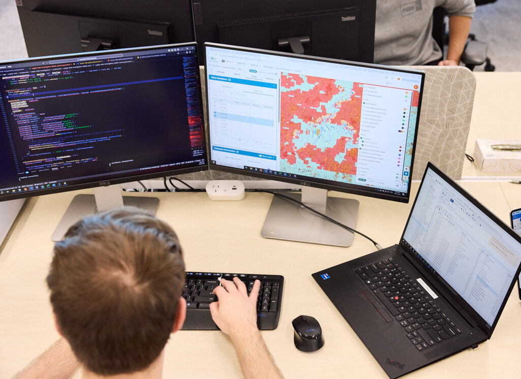
Spatial Capability Assessments
Unlock insights into your GIS capabilities through a comprehensive evaluation of your current capability conducted by our expert team. We delve deep into your current setup, identifying strengths and areas for improvement across data management, system performance, user proficiency, and alignment with business objectives. This assessment empowers more effective decision-making across resource allocation and strategic planning, In addition to guiding any future training programs that need to be implemented.

Capability building
Curated and customisable training solutions
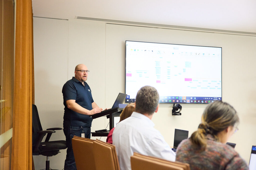
Our Capability Building and Training service is designed to empower individuals and organisations with practical GIS knowledge, tailored to meet the unique demands of data-driven environments. Whether you’re aiming to enhance your understanding of geospatial data or develop advanced GIS capabilities, NGIS specialises in curating flexible and customisable training solutions to suit your unique needs.
With industry experienced trainers, our programs can be delivered on-site, virtually, or in a hybrid format, tailored to fit specific organisational needs. From targeted capability assessments to building long-term GIS roadmaps, we provide training that equips teams with the skills needed to enhance and grow their GIS capabilities, build robust and knowledgeable workforces, and help organisations navigate technological transformations.
Our Capability Building Services
Our experienced trainers work with you to determine the optimal combination of services to match your team’s current skills and future requirements. From introductory workshops to specialised technical training, we develop learning pathways that build progressive competency and confidence in using geospatial tools. Our flexible delivery options and practical, hands-on approach ensure your team gains immediately applicable skills that drive tangible outcomes for your organisation.
Introductory Geospatial Training
Advanced GIS Techniques
Software-Specific Training (e.g. QGIS, ArcGIS)
Custom Training Program Development
On-the-Job Skill Development Workshops
Ongoing Post-Training Support
Capability building
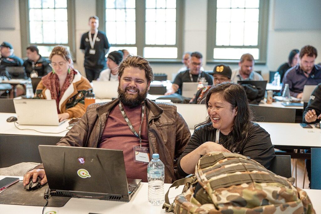
The Indigenous Mapping Workshop
The Indigenous Mapping Workshop (IMW) empowers Indigenous communities to have control over the collection, analysis, and visualisation of community-generated spatial data. It educates Indigenous-led people and organisations on employing digital tools to collect, host, and share maps, supporting diverse community objectives.
Explore more of our industry-leading services
Enterprise GIS
Enterprise GIS enables businesses to manage and utilise geographic information across their entire operation, leading to better decision-making, streamlined operations, and more effective collaboration. NGIS provides expert advice and consultancy on how to leverage the latest GIS technology to meet your unique business objectives

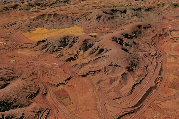
Earth Observation Solutions
Earth Observation harnesses the power of satellite imagery and advanced machine learning techniques to deliver crucial insights across various sectors. By providing precise and actionable information, NGIS empowers organisations to drive outcomes.

Geospatial Technology Solutions
NGIS partners with the world’s leading software, data and technology providers. We deliver business consulting, technical workshops, and advisory support to optimise your use of these cutting-edge tools.
Geospatial Software Engineering
NGIS creates custom GIS solutions with location data at their core. Our team of specialist geospatial software developers are experts in modern cloud frameworks and architectures, ensuring that your applications are built to meet the highest standards.
DISCOVER the power of geospatial
Contact us
We welcome you to contact us so we can understand your unique challenges, and together we can set a path using the power of geospatial.


