Emergency Services
Tailored geospatial solutions to enhance emergency response capabilities.
Enhancing response and resilience with geospatial intelligence
In the field of emergency services, every second counts. NGIS provides cutting-edge geospatial solutions that enhance the ability of emergency management agencies to prepare for, respond to and recover from disasters. By leveraging advanced geospatial technologies, we enable precise decision-making, efficient resource allocation and comprehensive situational awareness.
Making good decisions under pressure
NGIS provides geospatial solutions to support the emergency services sector in managing critical situations with speed and accuracy. By integrating real-time data sources such as live incident reports, weather updates, and asset locations, we help organisations and service providers to improve situational awareness and make informed decisions more readily.
Custom applications, such as incident tracking dashboards and resource allocation tools, can be built to streamline workflows and enhance communication between teams in the field and command centres. Working hand in hand with our global partners, we enable public-private road conflation to ensure that all possible routes are available to emergency responders at all times. These solutions improve coordination during emergencies and ensure resources are deployed effectively.


Solutions to support your unique requirements
Satellite and aerial imagery, combined with advanced geospatial analytics, allow for the identification of high-risk areas, rapid assessment of disaster impacts, , and monitoring of recovery efforts. These insights help emergency services anticipate challenges and adapt their strategies accordingly.
Through targeted training programs, NGIS ensures teams are equipped to use the GIS tools at their disposal effectively for tasks like live mapping, risk analysis, and post-incident evaluation. Our solutions and support can be tailored to the unique requirements of different emergency service providers.


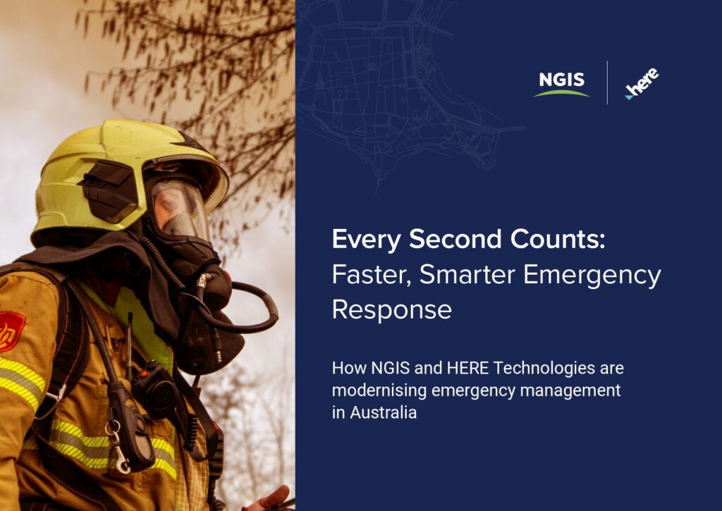
Every Second Counts: Faster, Smarter Emergency Response
When every second counts, the right data and technology can dramatically improve how emergency services respond. Learn how NGIS and HERE Technologies are helping agencies act faster and more effectively.

