HERE Technologies 40+ years of experience in map-making and location technology
How HERE Technologies can elevate your business
Enhance your Geographic Information System (GIS) capabilities with world-leading location data. HERE Technologies offers comprehensive location services and map data, powering enterprise solutions in nearly 200 countries. Their extensive datasets include road networks, buildings, traffic patterns, and more. Through NGIS, you can access unparalleled support and implementation of HERE Technologies’ Map Data into your existing GIS infrastructure. We believe that HERE Technologies Map Data is an essential resource for any GIS, providing significant value and precision.
HERE Technologies comprises a global team of specialists who assist with the realisation of the power of location data and implement solutions across all industries using HERE’s industry-leading products and location services.
HERE GIS Data Suite
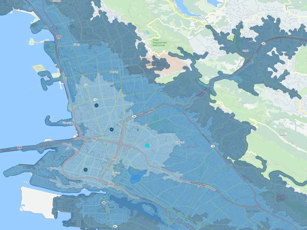
The HERE GIS Data Suite is a high-quality, ready-to-use GIS dataset built on HERE’s long-standing mapping expertise, the foundational data delivers precise, up-to-date, preconfigured and pre-symbolized network datasets, vector tile packages, locator files and additional high value data layers specifically optimised for Esri environments.
Converting HERE’s rich location data into Esri-friendly formats has historically been complex and time-consuming. The HERE GIS Data Suite removes this barrier, enabling seamless integration without heavy data prep.
How it drives value:
- Accelerate customer onboarding with instantly usable Esri-ready data
- Boost project delivery speed by eliminating conversion headaches
- Expand your portfolio with a trusted data source validated by global enterprises
Turn powerful location insights into actionable results, faster and easier than ever before.

Every Second Counts: Faster, Smarter Emergency Response
When every second counts, the right data and technology can dramatically improve how emergency services respond. Learn how NGIS and HERE Technologies are helping agencies act faster and more effectively.
Partnership
Partnering for Impact in Emergency Services
Frontline emergency workers face the challenging task of navigating complex, multi-variable, and multi-incident workflows daily. Situational intelligence, such as real-time traffic updates, incidents, and road closures, equips first responders and dispatchers with the readiness needed for critical, life-saving roles.
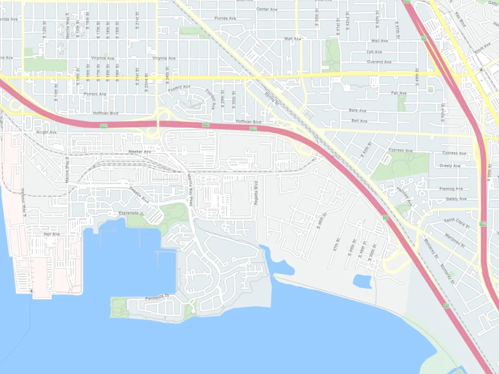
HERE Technologies’ highly accurate road network data, combined with dynamic routing and real-time traffic information, ensures the optimal vehicle is selected and routed efficiently. This data can be further enhanced with local information, such as firebreaks and trails, to make the network more specific for incident response. Unique to HERE Technologies in the emergency services industry is the ability to retrieve:
- Data to build a routable network layer
- Road centerline geometry with attributed left and right side street addressing
- Points of interest to guide emergency services workers accurately


NGIS and HERE work together to deliver powerful location-based solutions that support faster, smarter emergency response. By combining HERE’s high-quality, offline-capable mapping and real-time traffic data with NGIS’s deep geospatial expertise and local implementation experience, we help emergency services teams navigate complex environments with confidence.
From disaster response to daily operations, this partnership enables richer situational awareness, improved planning, and life-saving decision-making in the moments that matter most.


