Using location intelligence to reach your target audience
Organisations have become increasingly location driven in the way they market to consumers, clients and the community.
These days, it isn’t uncommon for location services to be enabled on mobile phones so that we can use apps to get us from point A to point B.
Similarly, we use this setting to locate our phones when we have misplaced them, to track the status of a delivery, to order a cab ride or to share information about where we are in proximity to a friend or loved one.
Almost every piece of data available has a location element attached to it and this information is being made increasingly accessible.
For marketing and communications professionals, geomarketing has transformed the way we understand our target audience, unlocking insights into their behaviour that were not previously known.
However, location data can often come from disparate sources or in complex formats, meaning that it is harder to make sense of what you’re looking at.
Technology providers, such as CARTO, have mastered the way that marketers can access this information to make informed decisions.
So how can you leverage location intelligence to transform your marketing campaign?
Target your audience more effectively by using location data
Using a map allows you to view demographic clusters and areas where your target audience is located.
For example, if you are a communications professional running a campaign that targets people aged between 50 – 70 years old, you can import Census data into CARTO to identify clusters across your city, where this demographic is located in the highest density.
This allows you to focus your marketing and communications efforts more effectively.
Target your audience based on their behaviour
Aside from simply targeting your audience by demographic, maps allow marketing professionals to target their audience based on behaviour.
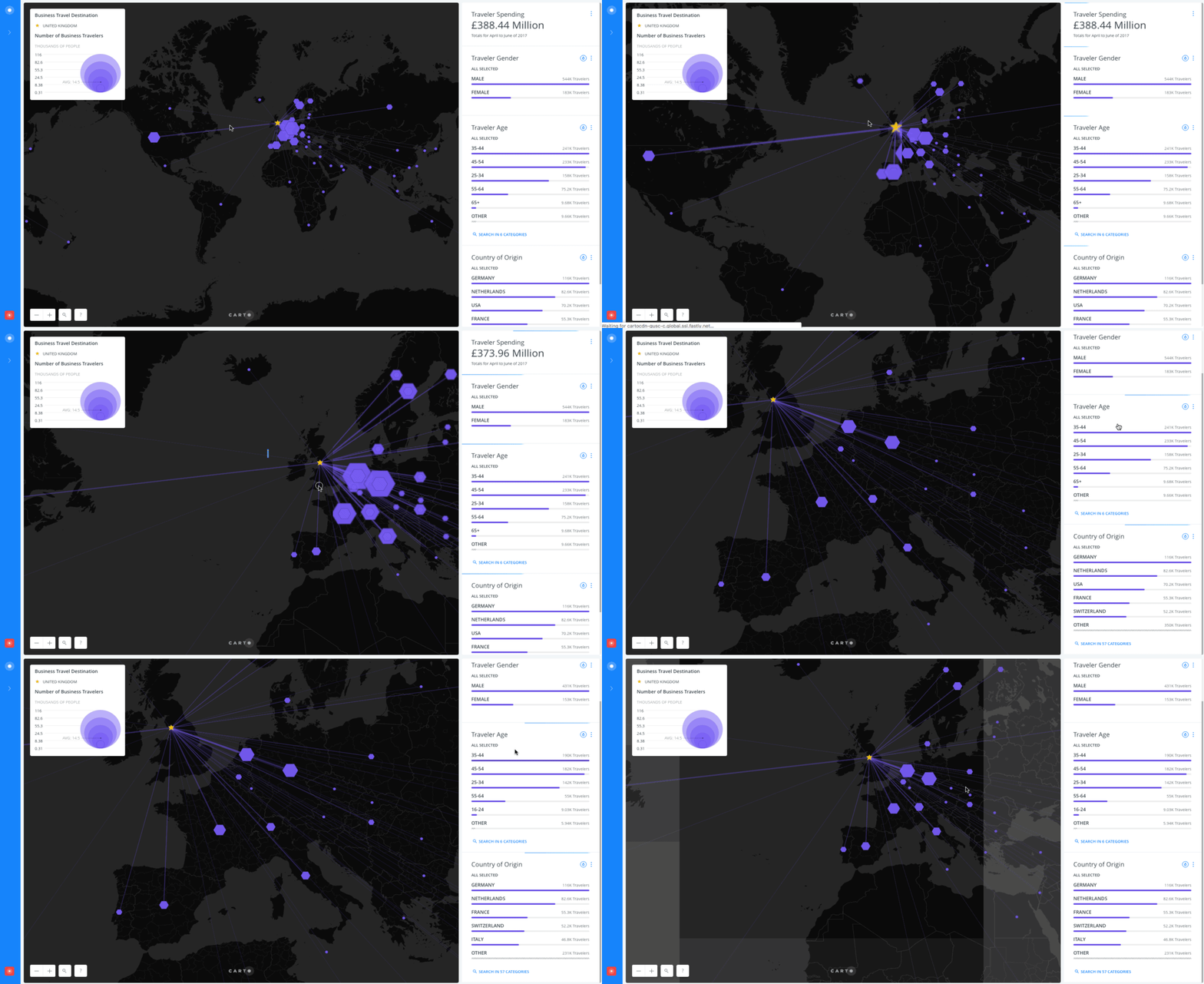
For example, if you are running a campaign for your city’s tourism agency, you can use CARTO to identify areas either domestically or internationally where high-value markets are located around the world.
This intelligence allows you to identify where you should be allocating your budgetary resources for your campaign based on spending behaviour.
Travel is a luxury, so if you choose to target your campaign to the high value markets you see in CARTO, the audience will be more likely to take action as a result of the exposure to your campaign.
Display campaign ROI more effectively
The good news for marketers is that when people are influenced by your campaign to take action, there is generally reporting data attached to that action.
Your campaign may encourage your audience member to make a purchase, book an appointment or respond to a survey.
Using CARTO, marketers are able to show the correlation between their geo-targeted advertising and the georeferenced action taken.
For example, if you are working for a state health department running a campaign to encourage flu injections ahead of the Winter period, you can show your geo-targeted advertising areas on a map and then aggregate the amount of purchased flu shots administered in those areas during the time of your campaign (this is achieved by accessing sales or appointment data from doctors surgeries and pharmacies).
How can I use geomarketing in my business?
Maps help us reach our audience more effectively, they are memorable and easy to use and companies such as CARTO has mastered the way that marketers can access this information to make geographically informed decisions.
NGIS is a CARTO partner and we are happy to help get you started. Get in touch to arrange a free trial with CARTO!
Taken from CARTO: https://carto.com/solutions/geomarketing/
Related Articles
Here are more related articles you may be interested in.


