Meet NGIS team in Ireland

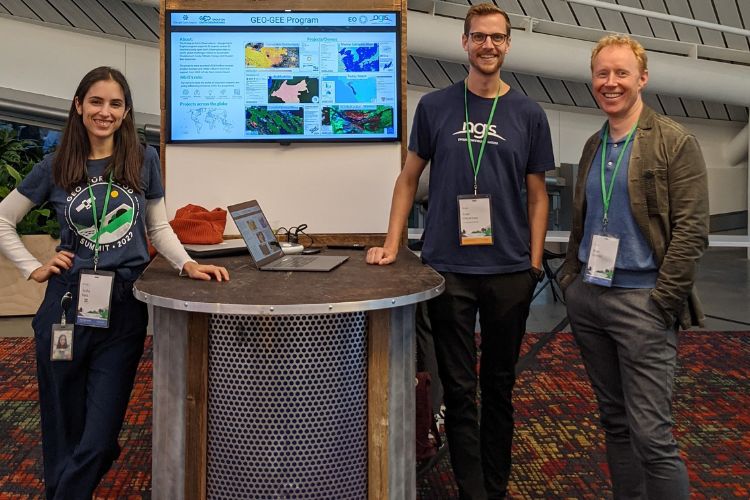
The NGIS group is growing rapidly and we recently opened our Ireland office and established our presence in the European Union. We have welcomed an exceptional team of GIS scientists, consultants and engineers, who are located around Europe and North America, collaborating under our Dublin umbrella.
They are involved in some incredibly exciting projects across a number of industries, which includes work on implementing innovative location technology and solutions that positively impact our environment, such as our sustainability solution TraceMark.

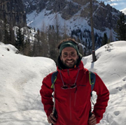
Andrea Melchiorre
Andrea is a Senior Earth Observation Data Scientist and enjoys the variety of work NGIS provides. His typical work week involves finding solutions to clients’ problems and goals, then implementing them.
He started his career at the University of Napoli Federico II in Italy, where he studied a Bachelor and Master of Science degree in Aerospace Engineering. Andrea later achieved a PhD from the University of Idaho, College of Natural Resources, where his dissertation focused on mapping global burned areas using satellite data.
Andrea spent some time in the United Kingdom employed by Telespazio Vega UK, where he worked on several European Space Agency projects. Following this, he moved to Ireland and worked for Mallon Technology as a contractor for the Department of Agriculture, Food and the Marine, in Dublin.
He enjoys working at NGIS because “there are many like-minded people, passionate about GIS and the environment.”
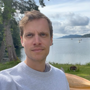
Juan Torres-Batlló
Geospatial Data Scientist Juan has been with NGIS since 2020, where he translates scientific knowledge into practical goods. Currently, he oversees maintaining Google Earth Engine capabilities that support NGIS front-end applications, such as TraceMark.
Juan studied a Master of Science in GIS and Remote Sensing after his bachelor’s degree in Geography in Barcelona. He then went on to complete his PhD at the University of Surrey in the UK, where he evaluated spatiotemporal hydrological changes in the Lake Poopó catchment (Bolivia) using Earth Observation data that was processed through Google Earth Engine.
With many of his interests relating to the environment, Juan knew Earth Observation was the industry he wanted to work in. At the age of 18, he realised how closely society and Earth processes relate to one another and began experimenting with ArcGIS, tabular data, and satellite imageries and has not stopped since!
-Juan Torres-Batlló
Juan enjoys the work/life balance NGIS offers and working remotely allows him to start his day with an early morning surfing or snowboarding session. He loves his co-workers almost as much as he loves writing code to solve environmental problems and he has made strong connections with his team, despite the remote location. “Even if my desk is 13,500 km away from the main office, I feel very close to my team and managers!”
Juan is looking forward to growing further with NGIS.
Evan DeLancey
Based in Canada, Evan is an NGIS Earth Observation Data Scientist, where he provides clients with technical solutions in agriculture, sustainability and environmental monitoring.
His career began at the University of Alberta, where he studied a Masters in Earth Science, with an aim of using technologies to help solve issues around climate change and conservation.
Prior to NGIS, he worked for Biodiversity Monitoring, a non-profit organisation in Canada, where he led the remote sensing group while simultaneously working for the wildfire research team for the Canadian forestry centre.
Evan enjoys working at NGIS as it involves “working with co-workers and clients from across the globe.”
James Dingle
One of the newest recruits to the EU team is Cloud Engineer James Dingle, who helps implement and manage a complete Google Cloud ecosystem for each client. He enjoys working with a huge network and cloud ecosystem and developing performant solutions to complex computational problems.
Previously, James was a Research Software Engineer, where he worked alongside scientists, combining innovative research ideas with a strong foundation in computer science and good coding practices.
From an early age, he was interested in computers, taking them apart, building them or writing software for them, which led him to study a Bachelor of Science with Honours at the University of Plymouth in the United Kingdom.
Even though NGIS is a multinational team, he said the experience has been inclusive and the team has been friendly and welcoming.

-James Dingle

Adriaan Prins
Adriaan is a Geospatial Solution Engineer, who is currently involved with an ‘on and above ground biomass estimation’ project. He enjoys and appreciates the learning and training opportunities offered by NGIS as he gets to learn new skills and improve old ones.
Adriaan found himself in the Geospatial field by accident but ended up achieving three degrees, including Honours and Masters, in Geoinformatics at Stellenbosch University, South Africa.
Adriaan worked for a small South African research and development company in the public, private and academic sector and later moved to the Irish Department of Agriculture, Food and Marine before joining NGIS EU, earlier this year.
Adriaan enjoys working at NGIS because of all the opportunities that the company has to offer, “from learning opportunities, flexible working arrangements and of course working with a great team is a major bonus.”
Shawna Sanfey
Shawna is NGIS EU’s Principal Consultant, who on a typical day analyses a wide range of geospatial and earth observation data. She studied Zoology at Trinity College in Dublin and Conservation and Biodiversity at the University of Exeter in the UK. Before joining NGIS, she worked in statistical analysis and data visualisation, as a marine and environmental consultant.
Shawna said her love of data and mapping drew her to the field and she loves her work at NGIS and the collaboration with like- minded individuals on projects that she is passionate about.

Want to join NGIS? Check out our careers page here.
Related Articles
Here are more related articles you may be interested in.
Celebrating Women in GIS: More than Maps
From tracking deforestation to building geospatial tools from the ground up, the women at NGIS are driving impactful real-world outcomes. This International Women’s Day, we spoke to three women across our Earth Observation, software engineering and spatial analysis solutions, to find out what first attracted them to GIS, what keeps them here, and what they’d tell their younger selves starting out.NGIS joins global space-based solutions provider CLS
Media Release | 27th January 2026 NGIS is excited to announce that the company will now be part of CLS (Collecte Localisation Satellites), a global leader in monitoring and surveillance solutions for our Earth. The acquisition marks a significant milestone for the Australian geospatial sector, bringing together NGIS’ world-class geospatial expertise with CLS Group’s expansive reach and innovative capabilities in space-based solutions. Beyond technology and commercial…The view from the Cuipo Tree: Rethinking Biodiversity Beyond Protected Areas
Biodiversity Biodiversity is often discussed in abstract terms, percentages protected, species at risk, and hectares conserved. Ecological networks operated at vast and local spatial scales. It lives at the intersection of forests and farms, rivers and roads, protected areas and working landscapes. Geospatial intelligence allows us to see these intersections clearly: to understand where species…The Future of Geospatial: Key Trends for 2026
The geospatial sector has evolved and rapidly grown over the past decade, and in 2026, its role within organisations is more critical than ever. What was once primarily used for mapping and visualisation has become a powerful intelligence tool, connecting data, places, and decision-making across industries. As organisations face increasing pressure to operate sustainably, manage…


