Data-driven approach helping with forestry management

Remote sensing and the increasing use of UAVs are making the management of forestry more accurate than it has ever been.
Rapid progress in data capture sensors and techniques in forestry means a massive expansion in the data available to the industry. The opportunity currently presented to the forestry industry is to make this data meaningful. Industry now needs to build solutions which can take this data and produce information products which ultimately lead to improved business.
Better data inputs
Low cost, rapidly deployable flexible data capture through UAVs is suited to the relatively small areas in an agricultural context. There were many presentations at the conference from organisations such as the Forestry Corporation of NSW where there was a strong sentiment that the use of UAV’s is very much in the implementation phase currently. As little as two years ago UAV’s were still being tested and evaluated to see what they had to offer. There is now no doubt that drones have a role to play with providing the forestry industry with access to data.
As well as the use of UAV’s there were innovative applications of a range of sensors including thermal cameras and LiDAR. For controlled burns and wildfires thermal cameras enabled accurate positioning of burn boundaries hidden by smoke clouds. LiDAR sensors are being used to provide more accurate forest inventory capabilities compared to other capture methods.
Forestry relies on GIS. The forestry industry is intrinsically spatial and it was pleasing to see there is widespread adoption of GIS practices. There was no question regarding the value that GIS can provide to the forestry industry and the increase in data available through drones and satellites will make GIS even more valuable to the forestry industry over the coming years.
Nathan Eaton presented at ForestTech2016 regarding initiatives NGIS are delivering in the resource management industry that harvest massive amounts of data and produce meaningful outputs. NGIS are industry leaders in this space, partnering with technology providers Google and ESRI to produce valuable products. See Green Precision and Coastal Risk Australia for examples of our work.
Related Articles
Here are more related articles you may be interested in.
The view from the Cuipo Tree: Rethinking Biodiversity Beyond Protected Areas
Biodiversity Biodiversity is often discussed in abstract terms, percentages protected, species at risk, and hectares conserved. Ecological networks operated at vast and local spatial scales. It lives at the intersection of forests and farms, rivers and roads, protected areas and working landscapes. Geospatial intelligence allows us to see these intersections clearly: to understand where species…The Future of Geospatial: Key Trends for 2026
The geospatial sector has evolved and rapidly grown over the past decade, and in 2026, its role within organisations is more critical than ever. What was once primarily used for mapping and visualisation has become a powerful intelligence tool, connecting data, places, and decision-making across industries. As organisations face increasing pressure to operate sustainably, manage…Streamlining ArcGIS License Management with Automation
The increasing complexity of ArcGIS licensing in recent versions has created challenges for organisations managing larger numbers of users with diverse needs. The legacy license manager for ArcMap and earlier versions of ArcGIS Pro, along with a small number of user types and roles, have now been superseded. ArcGIS Pro licensing has now been consolidated into ArcGIS Enterprise and aligned with user types, which themselves have more fine-grained licensing options. Overlaying this evolving licensing…Teaching Conservation at the Heart of the Coral Triangle
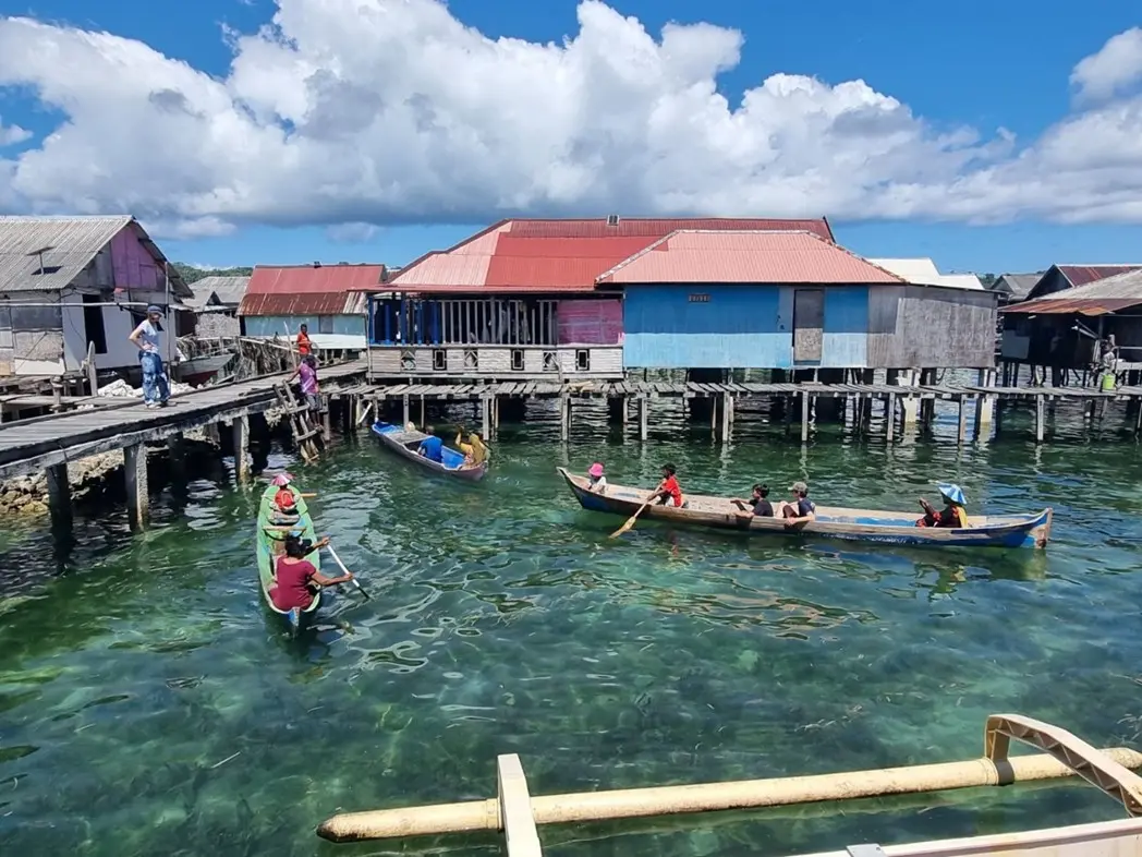
This past summer, I returned to a remote corner of Indonesia, the Wakatobi Marine National Park. The National Park sits at the epicentre of the Coral Triangle, home to the highest marine biodiversity on Earth. However, this time, I wasn’t there as a researcher or on holiday. Instead, I was teaching the next generation of scientists, showing them how geospatial technology can work hand-in-hand with marine conservation.