An NGIS Upgrade Solution

An NGIS Upgrade Solution

The adage ‘time is money’ has never been more relevant as our world grows more connected, we grow more impatient, making only small allowances for inconveniences and downtime when it comes to almost anything. We can all think of a time when our smartphone or PC has needed an upgrade and we have to forego…

Read article

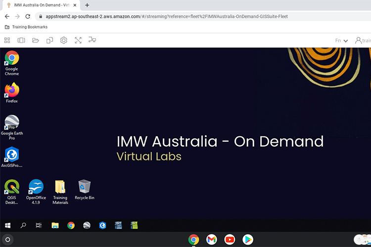
Accessing geospatial software from anywhere, on any computer.

Accessing geospatial software from anywhere, on any computer.

Geospatial software needs a lot of computing power to operate at its best. If you throw complex 2D or 3D data into the mix, a dedicated graphics processing unit is also required. These factors mean that it can be difficult for those in the geospatial industry to work remotely because in most cases, their work…

Read article

A sustainable CPG future with cloud geospatial

A sustainable CPG future with cloud geospatial

Nathan Eaton, Executive Director at NGIS, featured at CARTO’s Spatial Data Science in CPG & Retail Summit on May 19th this year. Together with Jeff Sternberg—Technical Director of Applied AI at Google—the pair discussed how NGIS and Google have partnered with CARTO to explore the CPG (consumer packaged goods) and retail industries with a focus on geospatial analytics…

Read article

How App Creator helps you make Google Earth Engine Apps

How App Creator helps you make Google Earth Engine Apps

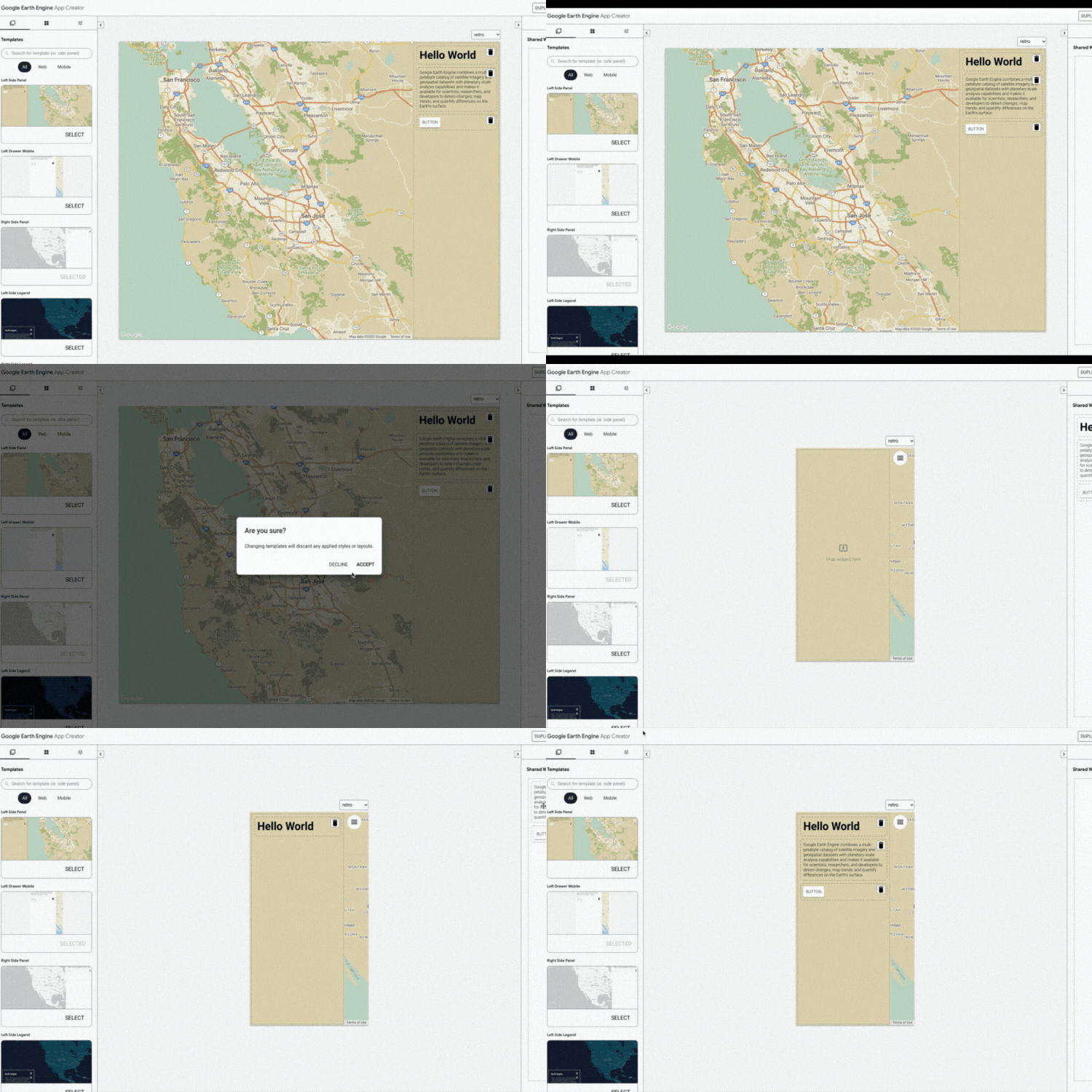
At the Geo for Good Summit 2020, David Gibson, Software Engineer at Google, announced the App Creator which allows users to easily build an Earth Engine App interface. Earth Engine Apps are dynamic user interfaces for sharing your Earth Engine analyses and results online. The app can be viewed by anyone, even if they are not Earth Engine…

Read article

How to build custom plugins in QGIS

How to build custom plugins in QGIS

When I needed to change a part on my 4WD expedition truck, there was no spanner known to man that could get the job done. So, I welded one up out of scrap material I had laying around, and while it wasn’t pretty, it did the job. Now, whenever I need to undo that part…

Read article

Speedy planning and built environment design with LiDAR

Speedy planning and built environment design with LiDAR

Excellent design is a key measure of success for the public sector, especially when it comes to planning within environments that are already fully or partially developed. Examples of this might be a new shopping mall on a main street, installing traffic lights or roundabouts on a busy thoroughfare, or running a tramway down a…

Read article

Choosing the right Machine Learning approach for your geospatial project

Choosing the right Machine Learning approach for your geospatial project

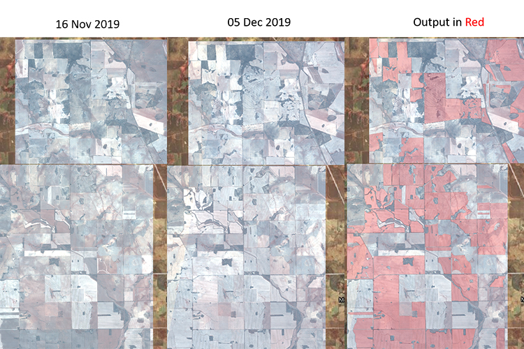
Machine learning (ML) helps us find patterns in data through the use of algorithms. By using algorithms to build models that uncover connections, organisations can make better decisions faster and without human intervention. From a geospatial perspective, an example of using ML is via image analysis in remote sensing work. But how do you choose…

Read article

No phone reception? No problem with ArcGIS Field Maps

No phone reception? No problem with ArcGIS Field Maps

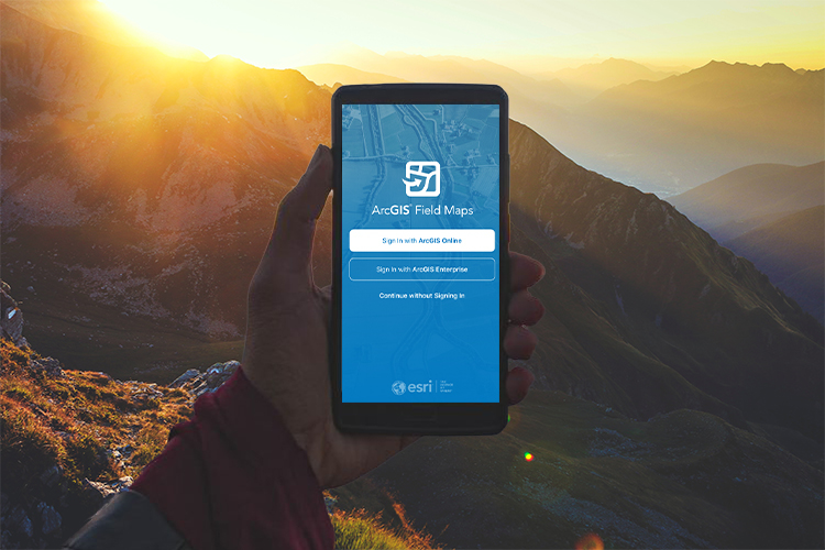
Have you ever been navigating somewhere with Google or Apple Maps when all of a sudden your base map stops updating? Then you look at your phone and realise you are out of mobile reception range?  Living in the big state of Western Australia, I’ve had this issue many times. This is where offline capable…

Read article

Stacking up 3D GIS heavyweights: Google Earth Enterprise & Skyline

Stacking up 3D GIS heavyweights: Google Earth Enterprise & Skyline

Of the 3D Geospatial Information System (GIS) platforms currently available on the market, Skyline and Google Earth Enterprise (GEE) are usually found at the top of people’s lists. Skyline is a commercially licensed and supported GIS platform, whereas Google Earth Enterprise is an unsupported and open source GIS platform. When it comes to choosing a platform that works with…

Read article

Want to query GIS data in Google Cloud? You need to know Spatial SQL

Want to query GIS data in Google Cloud? You need to know Spatial SQL

In one of our most recent Location Matters podcast episodes, BigQuery Product Manager at Google, Chad Jennings and Director of Spatial Data Science, Matt Forrest, both acknowledged that for the up and coming GIS experts, it was a must to learn Spatial Structured Query Language (SQL). But why? As a society, we are ingesting more…

Read article