Maximise Efficiency & Route Optimisation with Google Maps Platform

Maximise Efficiency & Route Optimisation with Google Maps Platform

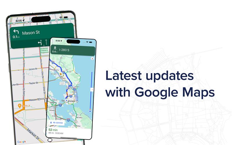
With GMP and NGIS, you’re not just implementing a navigation solution—you’re investing in an advanced mobility strategy that enhances efficiency, reduces costs, and empowers your business to thrive in an ever-demanding world.

Read article

Navigating the future: Unlocking the power of immersive 3D realities from Google

Navigating the future: Unlocking the power of immersive 3D realities from Google

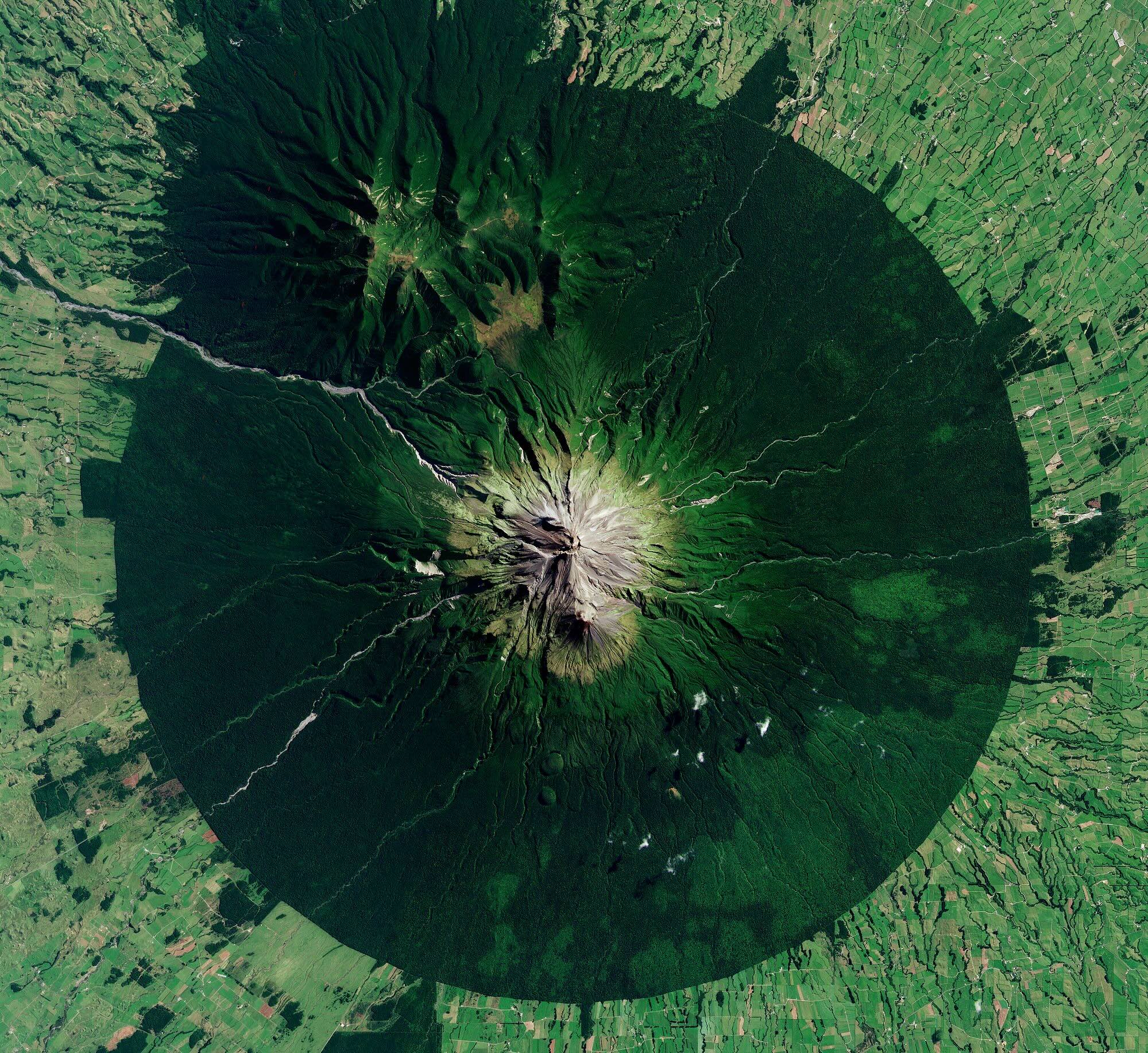
In a world that is anything but flat, our digital experiences often remain confined to the limitations of a 2D environment. However, the real world is three-dimensional and the potential for innovation lies in bridging the gap between our digital and physical realities.  While 3D data and applications have been around for some time, they…

Read article

How Fire and Emergency Services are accessing satellite imagery acquired Australia-wide everyday, to prepare for and mitigate the impacts of the Bushfire Season

How Fire and Emergency Services are accessing satellite imagery acquired Australia-wide everyday, to prepare for and mitigate the impacts of the Bushfire Season

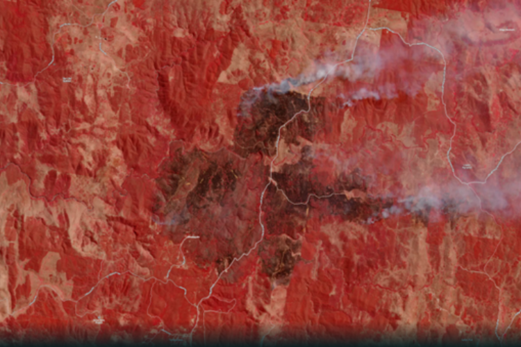
“It’s the biggest risk we’ve faced since the 2019-20 fire season,” New South Wales Rural Fire Service Commissioner, Rob Rogers – Sky News, September 2023. With the Bureau of Meteorology declaring in September that Australia was now in an El Niño climate pattern, Eastern parts of Australia are likely to experience an “increased risk” of…

Read article

NGIS and Google partner to amplify the impact of Public Sector organisations through Google Earth Engine

NGIS and Google partner to amplify the impact of Public Sector organisations through Google Earth Engine

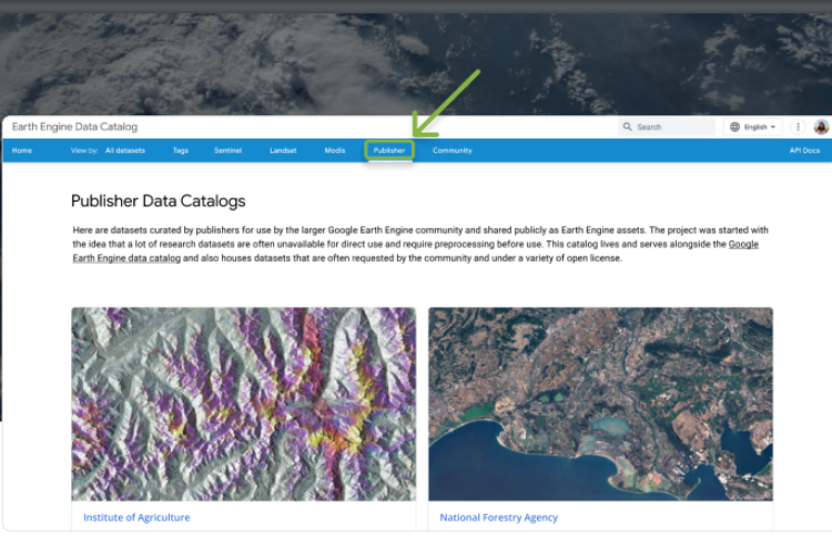
NGIS and Google have launched the Earth Engine Publisher Program to enable the self-service delivery of high value Earth Observation data products from the public sector to a global community of users through the Earth Engine Data Catalog. The program aims to increase awareness and access to leading Earth Observation products globally through the Google…

Read article

SADA and NGIS join forces to accelerate adoption of Google Earth Engine

SADA and NGIS join forces to accelerate adoption of Google Earth Engine

NGIS has formed a strategic partnership with SADA, a leading business and technology consultancy and award-winning Google Cloud partner, to accelerate the adoption of Google Earth Engine technology. This collaboration establishes a powerful alliance that leverages Google Cloud Products and Google Earth Engine for sustainability analysis, and reporting to the North American Enterprise Market. The…

Read article

Using Earth Observation to monitor floods with Planet imagery

Using Earth Observation to monitor floods with Planet imagery

Australia is experiencing a widespread flooding crisis. From heavy rainfall in Northern and Central Queensland, rising waters in New South Wales and South Australia, to ongoing major flooding in Western Australia – the rains are causing havoc all over the country. While floods can bring welcome relief for ecosystems suffering from drought, they pose a serious…

Read article

Google Earth Engine commercialisation: What does this mean for businesses?

Google Earth Engine commercialisation: What does this mean for businesses?

Over the past decade, academics, scientists and non-government organisations (NGOs) have utilised Google Earth Engine (GEE) to make meaningful progress on some of the world’s biggest environmental and social issues. This has led to thousands of noteworthy scientific publications, operational applications and countless positive real-world impacts – including the 32 projects in the GEO-GEE program tackling social and environmental issues…

Read article

Using Google Earth Engine to render satellite layers on a map

Using Google Earth Engine to render satellite layers on a map

Satellite imagery tells useful stories that can’t be told from the ground—such as providing information about weather and climate, geography and human settlement. This information can be vital for managing global supply chains, predicting and mitigating extreme weather events, and monitoring the environmental impacts of human development. Harnessing this information and moulding it in a…

Read article

How App Creator helps you make Google Earth Engine Apps

How App Creator helps you make Google Earth Engine Apps

At the Geo for Good Summit 2020, David Gibson, Software Engineer at Google, announced the App Creator which allows users to easily build an Earth Engine App interface. Earth Engine Apps are dynamic user interfaces for sharing your Earth Engine analyses and results online. The app can be viewed by anyone, even if they are not Earth Engine…

Read article

Stacking up 3D GIS heavyweights: Google Earth Enterprise & Skyline

Stacking up 3D GIS heavyweights: Google Earth Enterprise & Skyline

Of the 3D Geospatial Information System (GIS) platforms currently available on the market, Skyline and Google Earth Enterprise (GEE) are usually found at the top of people’s lists. Skyline is a commercially licensed and supported GIS platform, whereas Google Earth Enterprise is an unsupported and open source GIS platform. When it comes to choosing a platform that works with…

Read article