
In Pictures: Strong rainfall supports record crop yield in 2016
Strong rainfall this winter has led industry groups to predict a 16 percent increase in crop yields across Western Australia. The difference is visible on satellite imagery that measures the Normalised Digitised Vegetation Index, or NDVI, which is an indicator of biomass. According to the rural news service The Weekly Times, the Grain Industry Association

Introducing the GreenPrecision project
GreenPrecision is an innovative website utilising leading edge technology to deliver vegetation analysis across the entire world in an accessible and user friendly tool. By using high performing cloud computing and a massive archive of satellite imagery, users are able to compare vegetation for any location across multiple years to track variability and view changes

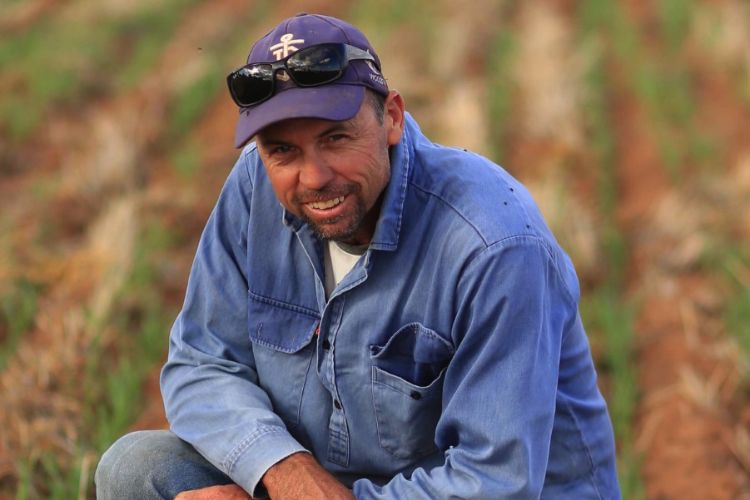
Dowerin Day
In support of our client CSBP, NGIS executives and our CSBP project team recently ventured out bush to the annual Dowerin Field Days. It was a long, but great day, and as you can only imagine, a good bonding experience for the travelling party of six burly NGIS blokes in a 4-wheel drive. It was


