Carto: The latest trends in location intelligence

Location intelligence applications such as CARTO perform iterative, spatial analysis. CARTO optimises everyday strategic decision making and solves complex business problems on an interactive map.
CARTO provides an easy to use, drag and drop interface to easily identify insights from large amounts of data. These insights can be rapidly deployed into applications and are easily customisable.
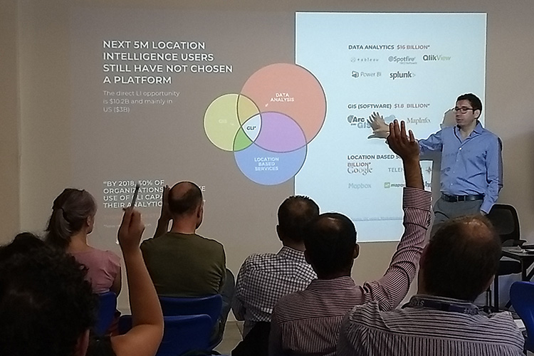
NGIS partnered with CARTO to host three events across Perth, Melbourne and Sydney. CARTO’s representative, Fernando Carrasco explored and demonstrated CARTO’s newest functionality.
The NGIS and CARTO event provided NGIS with the opportunity to connect with users and demonstrate CARTO’s latest functionality, tailored to attendees questions.
New functionality
CARTO’s Engine, Builder and Mobile SDK have recently implemented autostyling and new colour schemes. The new schemes of colours and autostyling capabilities means users can identify clear insights from large amounts of data and find trends that were previously hidden.
Big data connectivity enables seamless visualisation and allows users to explore billions of datasets. This allows users to make the most of smart sampling and data augmentation to optimise their private datasets potential.
How does NGIS fit in?
NGIS is a reseller of CARTO licensing and integrator of the product that help to bring CARTO’s functionality into business projects.
If you would like to see what NGIS does in the space of location intelligence and big data analysis, see our case studies or get in touch.
Related Articles
Here are more related articles you may be interested in.


