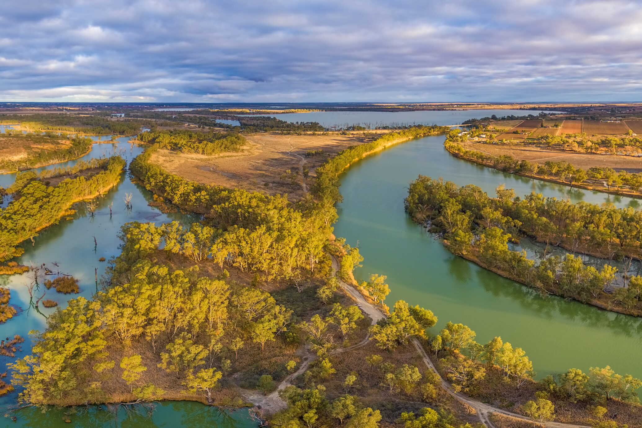
Developing a water monitoring system for the Murray-Darling Basin
NGIS, in collaboration with NSW DCCEEW, developed EOWater, a Google Earth Engine (GEE)-based toolkit that enables large-scale monitoring of water surface areas. Designed as a low-cost, automated solution, EOWater provides real-time, high-resolution insights that help government agencies and water managers make informed decisions.


