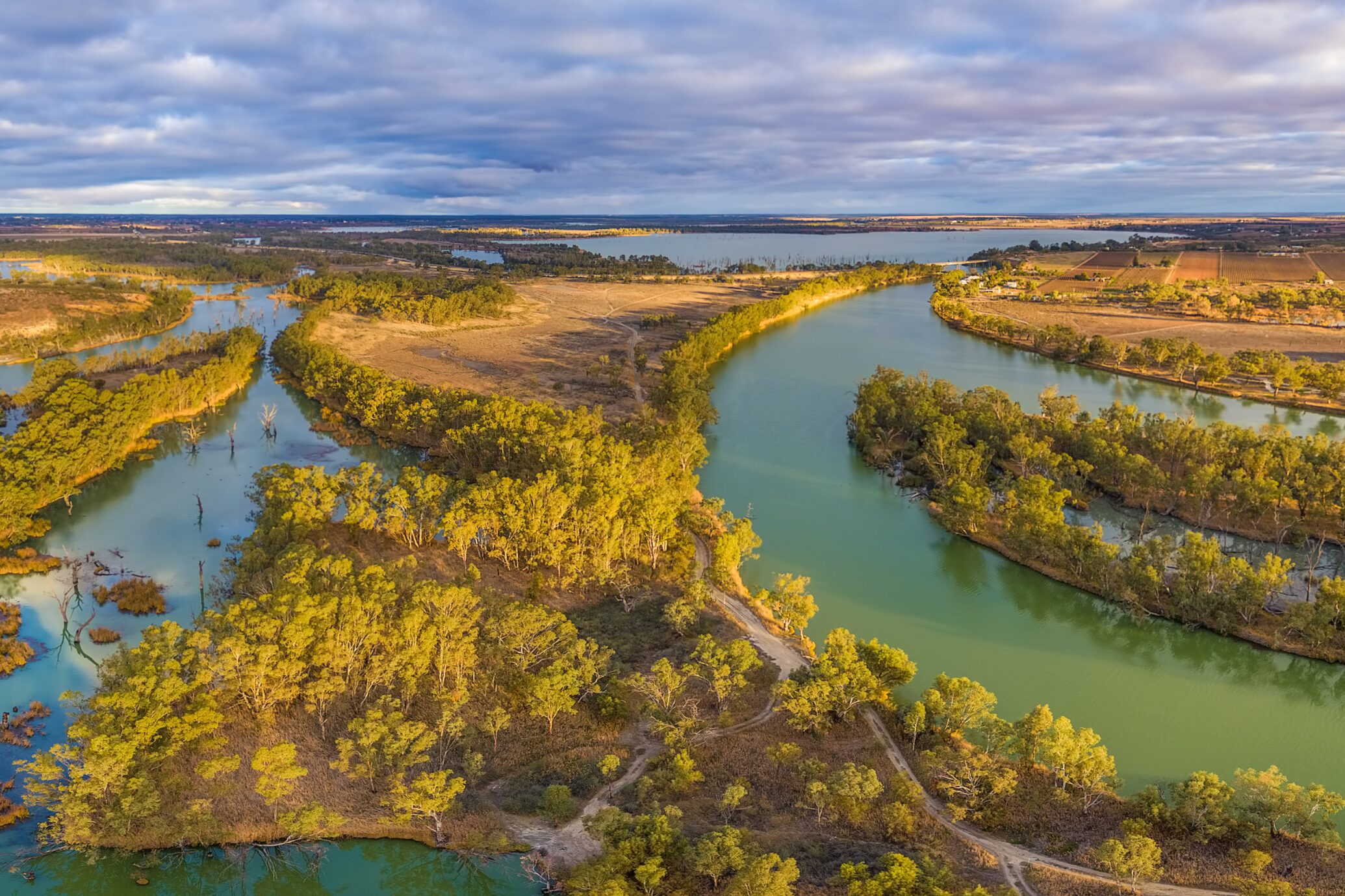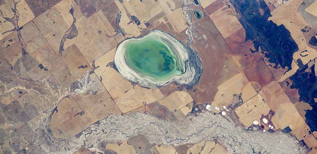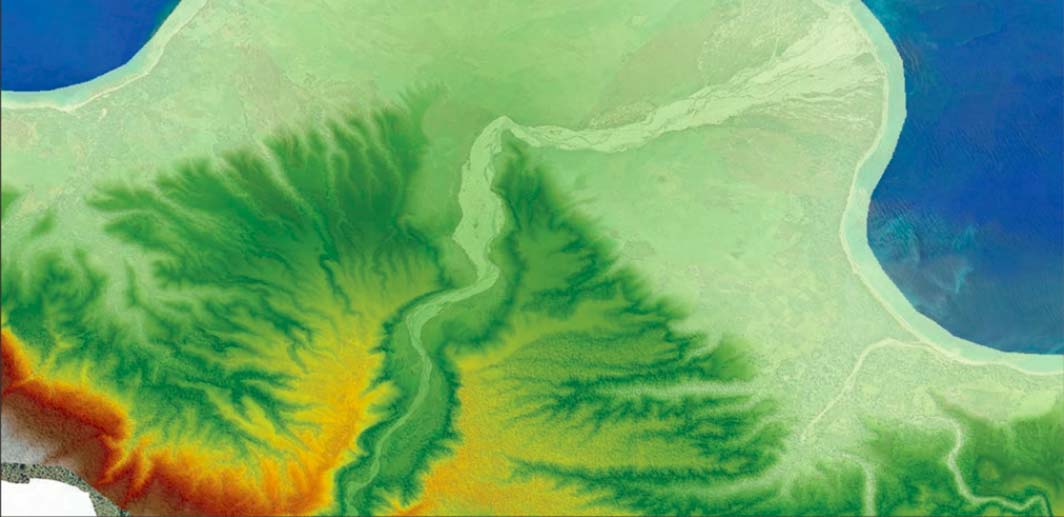
Customising Geospatial Training for NRM South
NRM South were looking to enhance their team’s ability to use GIS in environmental project delivery, they turned to NGIS for a flexible and practical learning solution. Together, we developed a tailored training program that aligned with their goals and reflected their diverse skill levels.