Customising Geospatial Training for NRM South


NRM South were looking to enhance their team’s ability to use GIS in environmental project delivery, they turned to NGIS for a flexible and practical learning solution. Together, we developed a tailored training program that aligned with their goals and reflected their diverse skill levels.
The result built NRM South’s internal capability and also showcased NGIS’s training model, empowering clients with the freedom to design courses centred on their specific learning objectives.
About NRM South
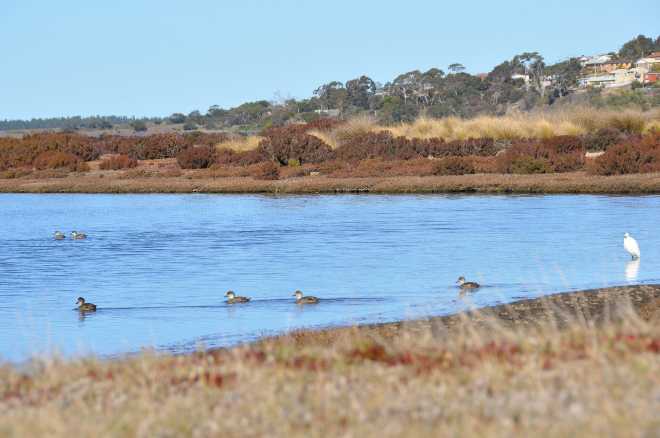
NRM South is a not-for-profit organisation based in southern Tasmania, dedicated to protecting, restoring and strengthening the resilience of the region’s natural and productive landscapes. Established in 2003, they serve as a regional hub that connects science, policy and practice, delivering strategic, evidence-based action across land, water and biodiversity themes.
With many staff having previous GIS experience but not regularly applying it in their roles, the organisation wanted to rebuild internal capability and strengthen spatial thinking across its projects.
Tailored Training Program
To meet NRM South’s needs, NGIS designed a tailored training program built primarily from QGIS Intermediate modules, with one Foundations module added at their request.
This structure reflects the NGIS training model, which enables clients to select from a library of ArcGIS and QGIS modules to create a custom program that aligns directly with their learning goals. The approach gives organisations flexibility to target specific skill gaps and ensures every session is directly relevant to their work.
“NGIS was prepared to look at what we needed and work with us to create a program that was most relevant for our team.”
Delivering Impact
The customised training has helped NRM South staff build confidence, streamline workflows, and produce more consistent, high-quality spatial outputs. The new skills have already been applied to real-world environmental projects.
“The skills I learnt in NGIS’s QGIS course have improved my ability to navigate QGIS and manage complex spatial data more efficiently,” said Alice Grieve, Senior Project Officer at NRM South.
“I applied these lessons when producing a series of maps for the draft South-eastern Tasmania Regional Deer Management Plan that show land tenure overlaid with deer occurrence data. These maps will allow local councils to strategically plan stakeholder engagement and management strategies when addressing the impacts of feral deer in their municipalities.”
(Deer occurrence SE regional Map)
With strengthened GIS skills, staff at NRM South are using spatial analysis more deeply in their work, from prioritising actions for climate resilience to supporting sustainable land management across southern Tasmania.
Key Outcomes
- Tailored training program designed from multiple course modules
- Improved team confidence and consistency in GIS outputs
- Streamlined data management and spatial workflows
- Direct application to environmental planning and policy projects
Want to learn more about the experts behind our training? Meet the NGIS trainers→
Want to tailor training for your team? Build a program that fits your organisation’s skill levels, goals, and projects.
Explore NGIS private training →


