Coastal Risk Australia
Technology empowers organisations and individuals to act and adapt to climate change
Our environment is changing and we need to lead using mapping and location technology to analyse and communicate climate change science effectively.
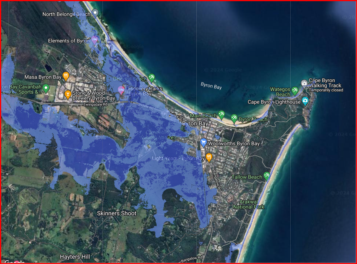
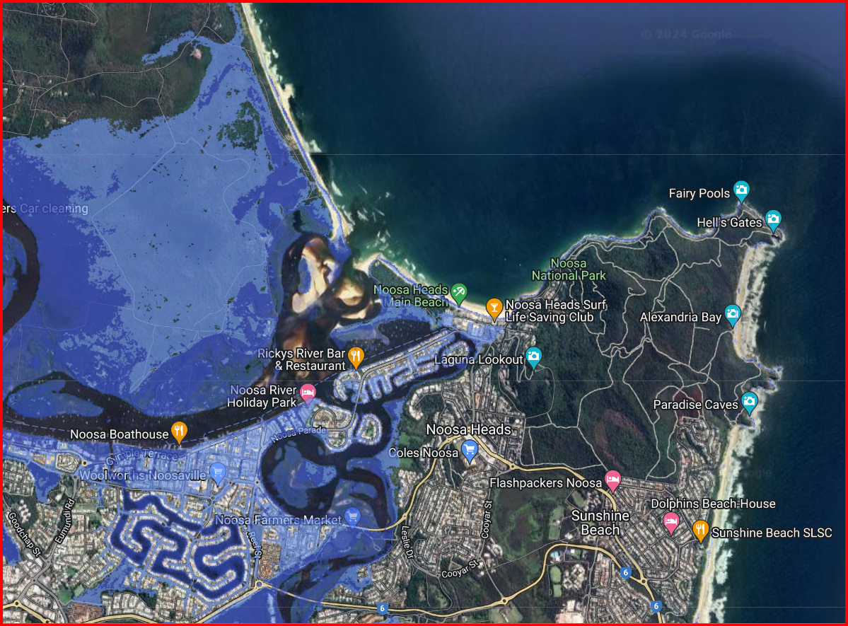
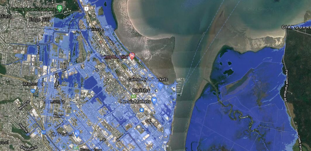
In Australia, coastal risk due to a rise in sea level is a threat we will face over the next century. Based on a climate change report from the Intergovernmental Panel on Climate Change (IPCC), by 2100 global sea levels could have increased by 0.84m. This means billions of dollars worth of infrastructure and private property will be affected. Mapping technology gives people an easy to understand interface to interpret information and make decisions based on data.
In partnership with FrontierSI, NGIS Australia developed Coastal Risk Australia to illustrate the severity of rising seas based on the latest scientific modelling, via an interactive map accessible to the public.
NGIS used Google Earth Engine to process the petabytes of data required to show where inundation is likely in year 2100 due to sea level rise and storm surge. When released, the tool attracted attention nationally with more than 1.5 million views in one day.

The coastal risk Australia tool aims to place scientific modelling into the hands of the people so they can see for themselves how the areas they live in could be impacted in the future by climate change.
Graeme Kernich, CEO of Frontiersi
How will your house be affected?
For the first time Australians can visualise how their homes, neighbourhoods and favourite coastal spots could be vulnerable to rising sea levels driven by climate change. NGIS have developed a tool to help people see the possible scenarios of sea level rise and visualise how that will affect their neighbourhood. To learn more Listen to our Executive Director, Nathan Eaton, discuss which parts of Australia’s coast will vanish below rising sea levels on SBS radio.


