Case studies
Explore our case studies, and discover how the use of geospatial technology is creating a better, more sustainable future.
Filter
Tailored Training for a Major Mining Company
When a major resource company approached NGIS for training, they already had a clear picture of the skills their team wanted to strengthen. After completing a detailed competency matrix, they came to us with defined knowledge gaps and specific workflows that their staff needed to upskill. This set the foundation for a collaborative and customised…

Customising Geospatial Training for NRM South
NRM South were looking to enhance their team’s ability to use GIS in environmental project delivery, they turned to NGIS for a flexible and practical learning solution. Together, we developed a tailored training program that aligned with their goals and reflected their diverse skill levels.
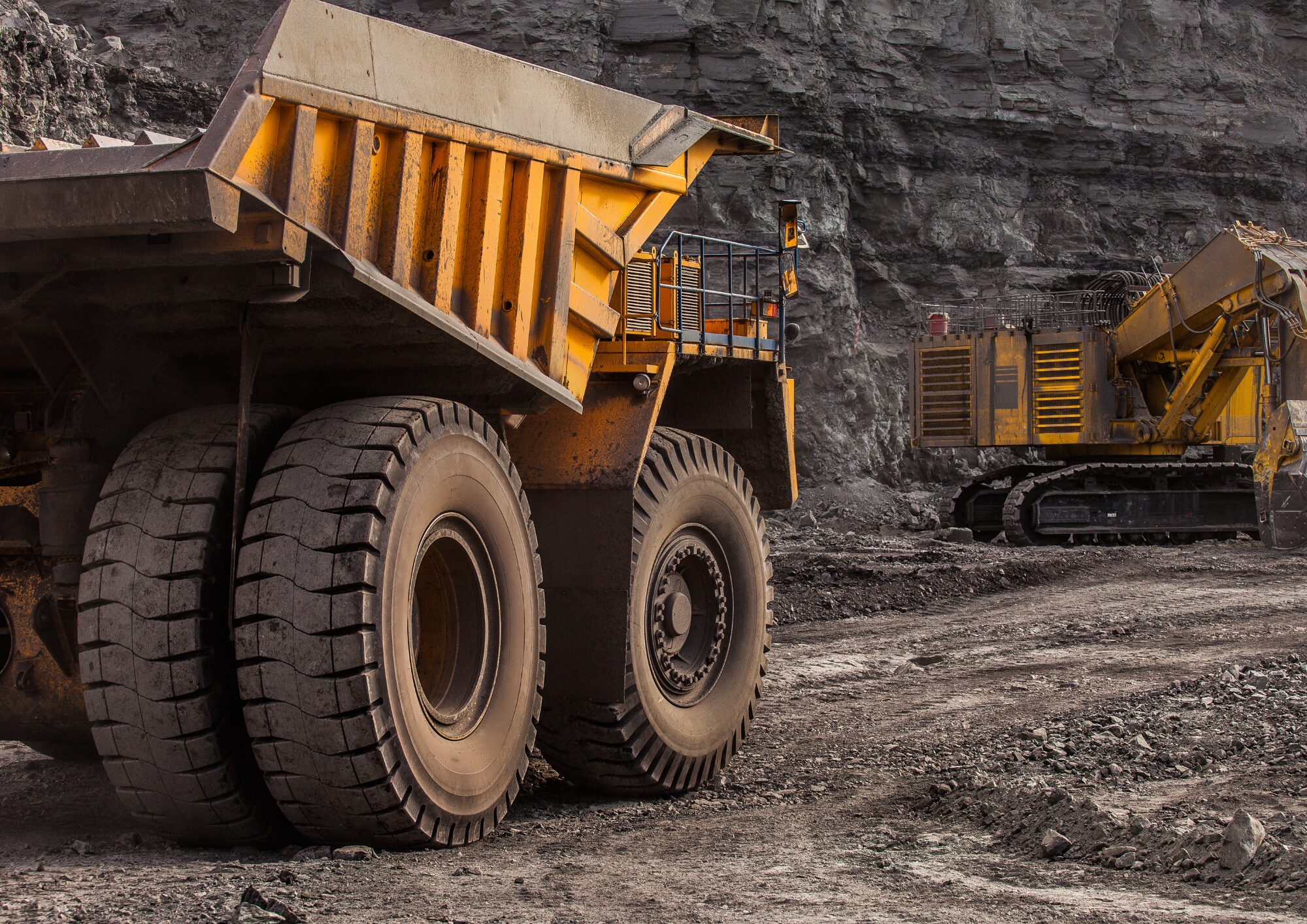
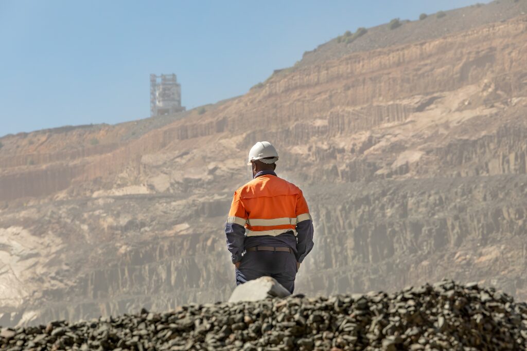
Improving Imagery Workflows in the Mining Sector
With the rise of drones, satellites and LiDAR, access to spatial imagery is easier than ever; however, turning this raw data into usable insights is another challenge entirely. In mining, up-to-date imagery is crucial for site planning, environmental monitoring and operational decision-making, from tracking haul roads to assessing land disturbance.
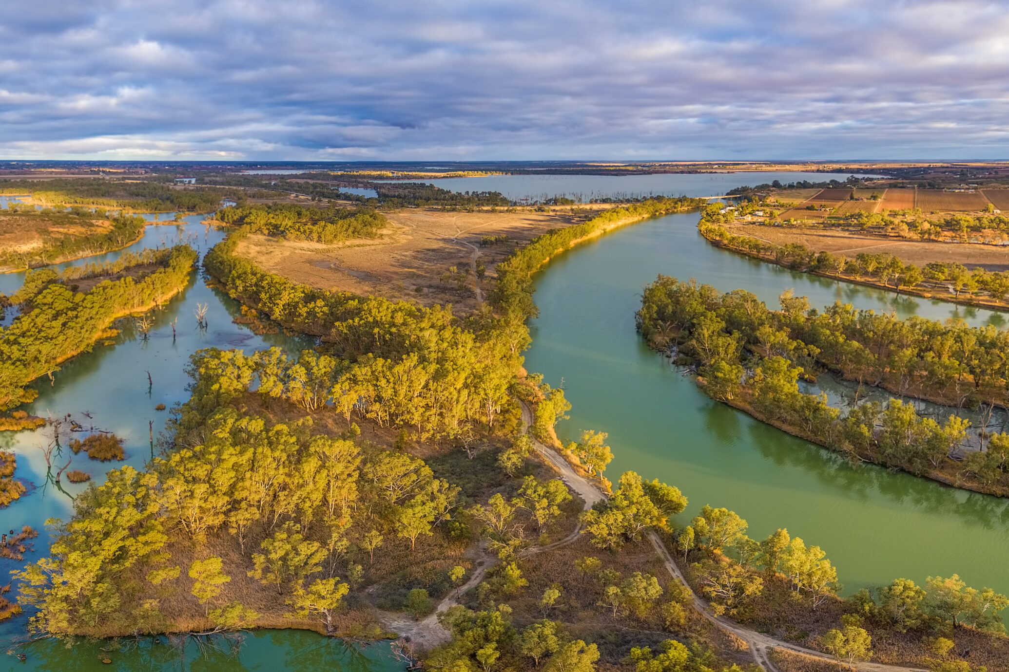
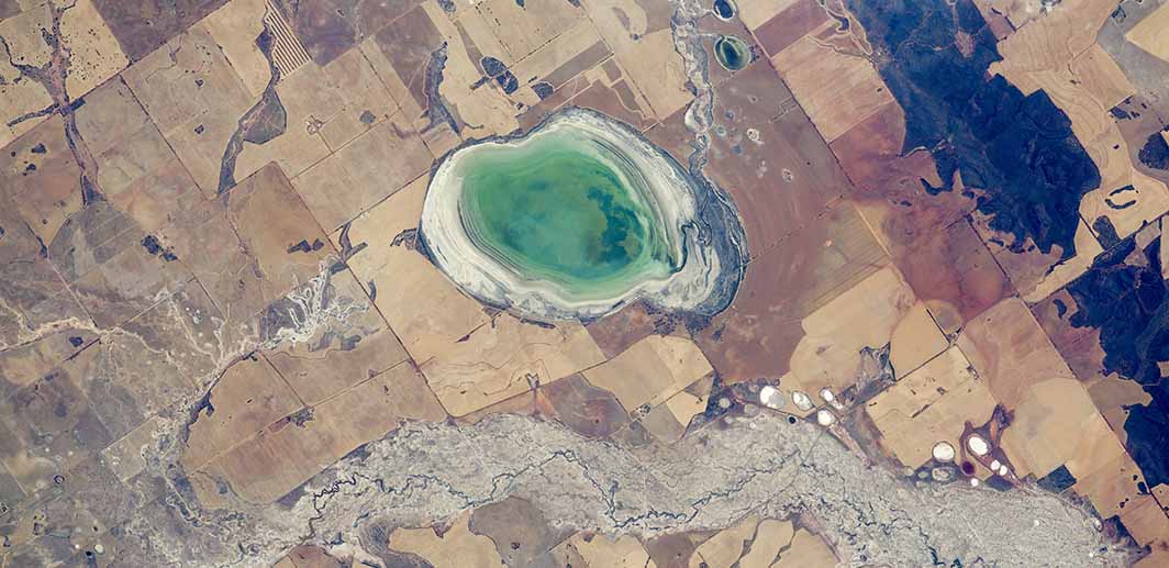
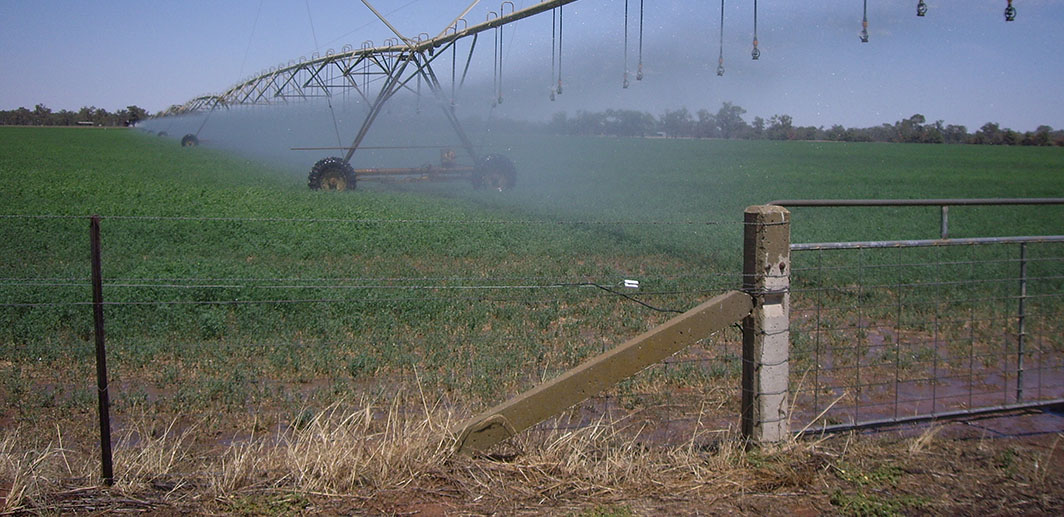
Developing a water monitoring system for the Murray-Darling Basin
NGIS, in collaboration with NSW DCCEEW, developed EOWater, a Google Earth Engine (GEE)-based toolkit that enables large-scale monitoring of water surface areas. Designed as a low-cost, automated solution, EOWater provides real-time, high-resolution insights that help government agencies and water managers make informed decisions.

Innovating Material Traceability for Site Assessment, Closure and Remediation
In the remote northwest of Australia lies a globally renowned Class A Nature Reserve, well known for its biodiversity and ecological significance. This area supports diverse terrestrial and marine ecosystems and many of their rare species. Currently, parts of the reserve are the focus of an extensive resource-industry decommissioning, remediation, and rehabilitation effort aimed at returning, and preserving, its long-term ecological value. The remediation effort involves site assessments and targeted earthworks across historically disturbed areas such as infrastructure pads, roads, tracks, and borrow pits.

How Abu Dhabi is using AI-Data to reduce traffic Congestion
NGIS was engaged by the Integrated Transport Centre (Abu Dhabi Mobility) to implement the Google traffic service TraceMark™ Flow. TraceMark™ Flow by NGIS is a next-generation traffic monitoring product designed for public sector organizations

Improving Public Health Insights with GIS Training at Queensland Health
Partnering with NGIS, HPRB set out to close skill gaps, efficiently utilise existing investment in technology, and support its workforce in visualising, analysing, and sharing public health information and data more effectively.