Partnership
Partnering for Impact in Emergency Services
NGIS and HERE work together to deliver powerful location-based solutions that support faster, smarter emergency response. By combining HERE’s high-quality, offline-capable mapping and real-time traffic data with NGIS’s deep geospatial expertise and local implementation experience, we help emergency services teams navigate complex environments with confidence. From disaster response to daily operations, this partnership enables richer situational awareness, improved planning, and life-saving decision-making in the moments that matter most.


NGIS
For over 30 years, NGIS has been an independent and innovative leader in geospatial
solutions, delivering measurable impact for clients around the globe.
Since 1993, as a 100% Australian-owned company, we’ve grown to a team of over 100 experts across seven locations worldwide. Our offering encompasses Enterprise GIS, Capability Building, Earth Observation Solutions and Geospatial Engineering solutions.
HERE
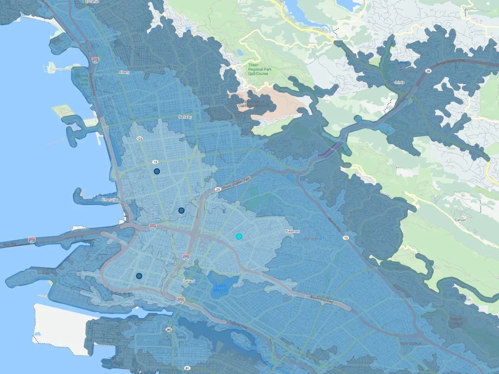
For over 40 years, HERE has been the world’s leading mapping company. Today, we set the standard and deliver the world’s best unified map to our customers. A map with more precision, more flexibility and more control. HERE takes a two-pronged approach to improving the reach and effectiveness of disaster preparation and response, focusing on routing and visualisation. Accurate real-time maps and routing increase the speed for site identification, reduce transit time to incidents and enable quicker incident resolutions.

DFES Case Study
Empowering Emergency Services with a Custom Offline Routing Solution
NGIS partnered with DFES and HERE Technologies to deliver a fully offline, custom routing solution tailored for emergency services across Western Australia. Designed to work without internet connectivity, it helps first responders avoid road closures and navigate more efficiently during disasters.


HERE GIS Data Suite
Do you need high integrity GIS data, ready for analysis in ESRI environments?
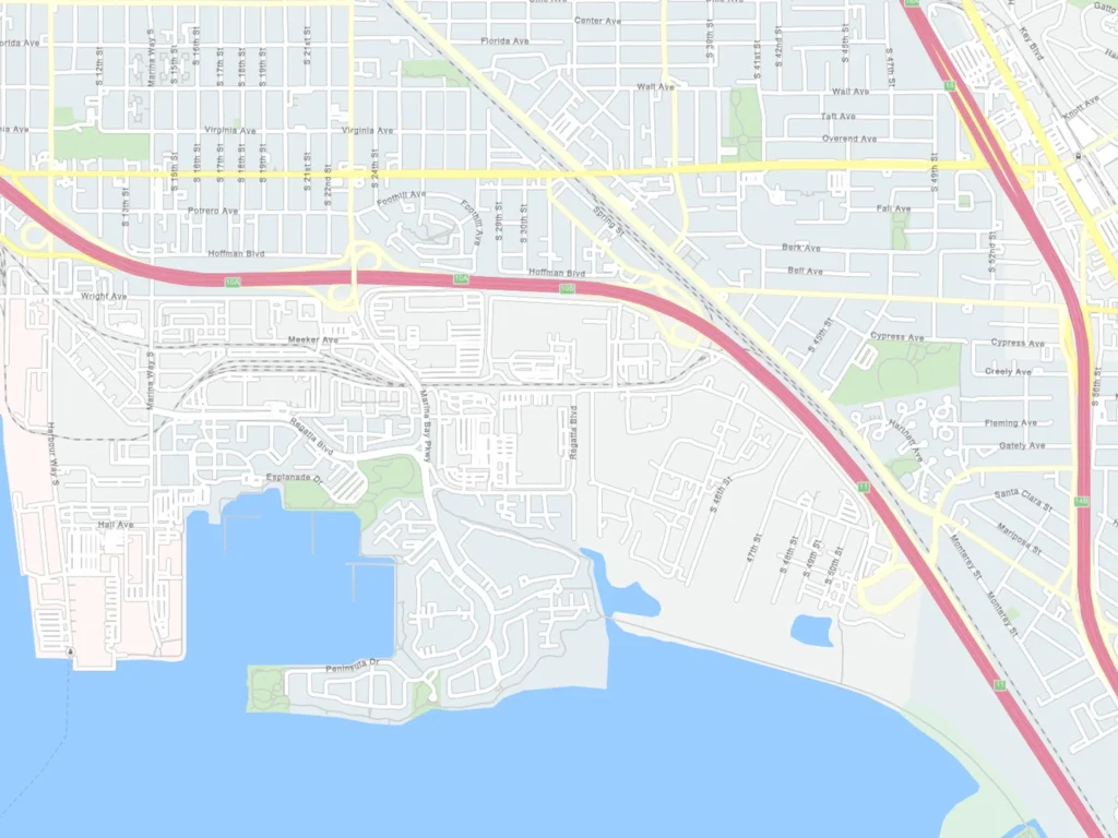
HERE Technologies is excited to announce the launch of the HERE GIS Data Suite – a game changer designed enabling you to spend less time preparing the data and more time advancing insights with HERE’s ready to use GIS content. Load, render and build meaningful maps in seconds.


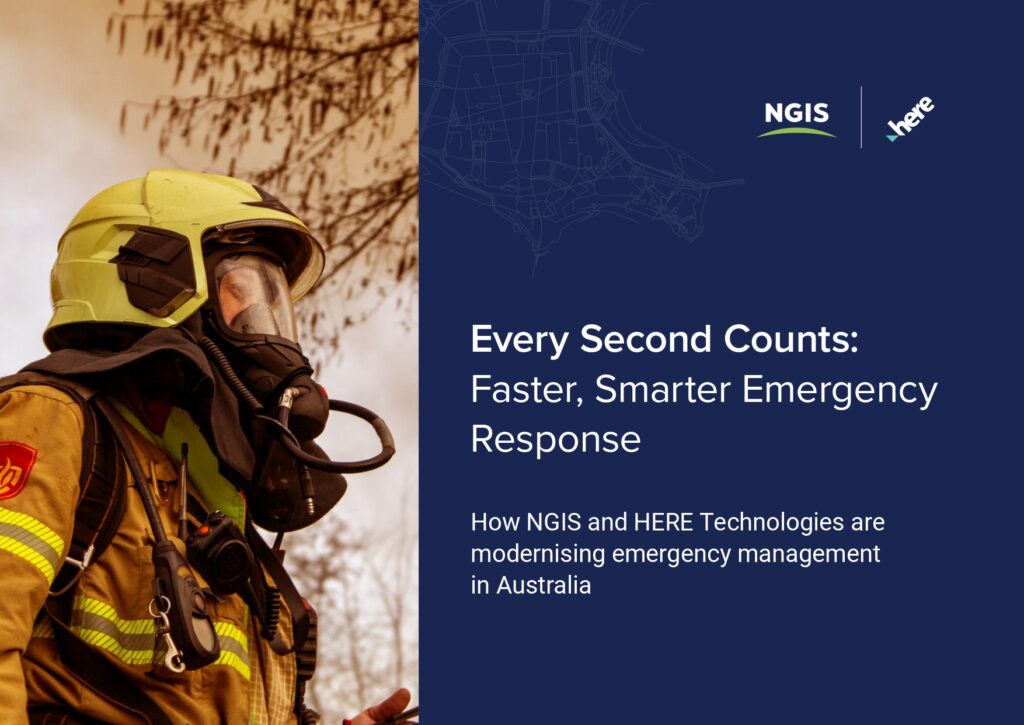
Every Second Counts: Faster, Smarter Emergency Response
When every second counts, the right data and technology can dramatically improve how emergency services respond. Learn how NGIS and HERE Technologies are helping agencies act faster and more effectively.
HERE Location Services
HERE Location Services (HLS) is an enterprise-grade platform with intelligent APIs and SDKs which can enable your applications to solve complex location problems including geocoding, mapping and routing.
Build Geospatial Capability for Emergency Responses
NGIS offers specialised GIS training designed for emergency services professionals. Our expert-led online and in-person courses help teams build practical skills in tools like ArcGIS Pro and FME, empowering better decision-making when it matters most.


Professional services
40+ years of experience in map-making and location technology
A global team of specialists helping customers realise the power of location data and implement solutions across all industries, using HERE’s industry-leading products and location services.

